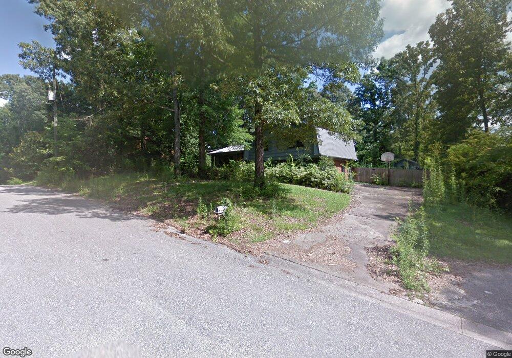
1825 Mohawk Dr Alabaster, AL 35007
Estimated Value: $259,000 - $287,000
3
Beds
2
Baths
1,576
Sq Ft
$172/Sq Ft
Est. Value
About This Home
This home is located at 1825 Mohawk Dr, Alabaster, AL 35007 and is currently estimated at $271,199, approximately $172 per square foot. 1825 Mohawk Dr is a home located in Shelby County with nearby schools including Thompson Intermediate School, Thompson Middle School, and Thompson High School.
Ownership History
Date
Name
Owned For
Owner Type
Purchase Details
Closed on
Jul 2, 2015
Sold by
Cory Jason
Bought by
Rha 1 & Birmingham Llc
Current Estimated Value
Purchase Details
Closed on
Jul 31, 2009
Sold by
Wells Fargo Bank Na
Bought by
Cory Jason
Home Financials for this Owner
Home Financials are based on the most recent Mortgage that was taken out on this home.
Original Mortgage
$65,000
Interest Rate
5.11%
Mortgage Type
Purchase Money Mortgage
Purchase Details
Closed on
Jun 29, 2009
Sold by
Peyton Ann
Bought by
Wells Fargo Bank Na
Home Financials for this Owner
Home Financials are based on the most recent Mortgage that was taken out on this home.
Original Mortgage
$65,000
Interest Rate
5.11%
Mortgage Type
Purchase Money Mortgage
Purchase Details
Closed on
Aug 4, 2005
Sold by
Maldonado Philip
Bought by
Peyton Ann
Purchase Details
Closed on
Jun 1, 2005
Sold by
Pridgen Angelia and Neighbors Angelia Pridgen
Bought by
Maldonado Philip
Home Financials for this Owner
Home Financials are based on the most recent Mortgage that was taken out on this home.
Original Mortgage
$109,225
Interest Rate
9.39%
Mortgage Type
Fannie Mae Freddie Mac
Create a Home Valuation Report for This Property
The Home Valuation Report is an in-depth analysis detailing your home's value as well as a comparison with similar homes in the area
Home Values in the Area
Average Home Value in this Area
Purchase History
| Date | Buyer | Sale Price | Title Company |
|---|---|---|---|
| Rha 1 & Birmingham Llc | $85,000 | None Available | |
| Cory Jason | -- | None Available | |
| Wells Fargo Bank Na | $63,250 | None Available | |
| Peyton Ann | $10,000 | -- | |
| Maldonado Philip | -- | -- |
Source: Public Records
Mortgage History
| Date | Status | Borrower | Loan Amount |
|---|---|---|---|
| Previous Owner | Cory Jason | $65,000 | |
| Previous Owner | Maldonado Philip | $109,225 |
Source: Public Records
Tax History
| Year | Tax Paid | Tax Assessment Tax Assessment Total Assessment is a certain percentage of the fair market value that is determined by local assessors to be the total taxable value of land and additions on the property. | Land | Improvement |
|---|---|---|---|---|
| 2024 | $2,262 | $41,880 | $0 | $0 |
| 2023 | $2,110 | $39,080 | $0 | $0 |
| 2022 | $1,969 | $36,460 | $0 | $0 |
| 2021 | $1,813 | $33,580 | $0 | $0 |
| 2020 | $1,548 | $28,660 | $0 | $0 |
| 2019 | $1,497 | $27,720 | $0 | $0 |
| 2017 | $1,375 | $25,460 | $0 | $0 |
| 2015 | $664 | $12,300 | $0 | $0 |
| 2014 | $609 | $12,040 | $0 | $0 |
Source: Public Records
Map
Nearby Homes
- 2001 1st Ave W
- 1807 Apache Way
- 1805 Mohawk Dr
- 445 Ramsgate Dr
- 120 Mayfair Park
- 542 Navajo Trail
- 1349 Old Boston Rd
- 306 Mayfair Cir
- 1317 Old Boston Rd
- 208 Queens Gate
- 501 Ramsgate Dr
- 1317 W Navajo Dr
- 236 Queens Gate
- 537 Ramsgate Dr
- 312 Cornwall Dr
- 1307 3rd Ave SW
- 544 Ramsgate Dr
- 309 Cedar Grove Ct
- 305 Cedar Grove Ct
- 545 Ramsgate Dr
- 1821 Mohawk Dr
- 1828 Mohawk Dr
- 200 Stoney Trail
- 194 Lucas Ln
- 22 Lucas Ln
- 204 Stoney Trail
- 101 Lucas Ln
- 101 Lucas Ln Unit 101
- 101 Lucas Ln Unit 1
- 101 Lucas Ln Unit 1
- 101 Lucas Ln Unit 101
- 201 Stoney Trail Unit 14
- 201 Stoney Trail
- 1820 Mohawk Dr
- 208 Stoney Trail
- 1825 Apache Way
- 131 Lucas Ln
- 1829 Apache Way
- 205 Stoney Trail Unit 13
- 205 Stoney Trail
Your Personal Tour Guide
Ask me questions while you tour the home.