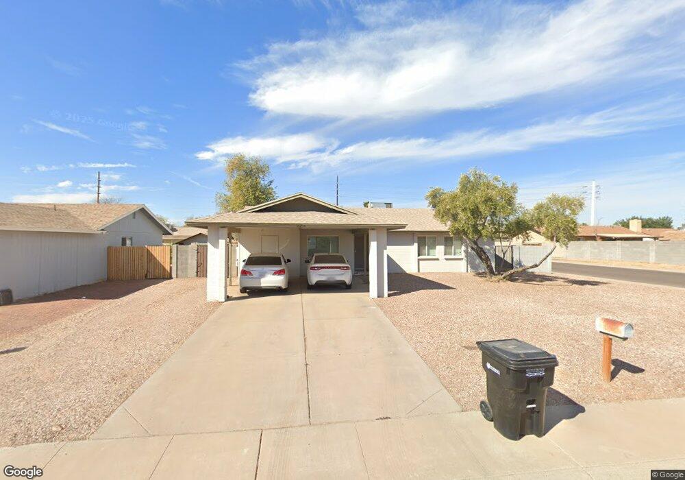
18256 N 10th Dr Unit SHARP! Phoenix, AZ 85023
North Central Phoenix NeighborhoodEstimated Value: $326,582 - $376,000
4
Beds
2
Baths
1,424
Sq Ft
$253/Sq Ft
Est. Value
About This Home
This home is located at 18256 N 10th Dr Unit SHARP!, Phoenix, AZ 85023 and is currently estimated at $359,646, approximately $252 per square foot. 18256 N 10th Dr Unit SHARP! is a home located in Maricopa County with nearby schools including Constitution Elementary School, Deer Valley Middle School, and Barry Goldwater High School.
Ownership History
Date
Name
Owned For
Owner Type
Purchase Details
Closed on
Aug 12, 2014
Sold by
2012-C Property Holdings Llc
Bought by
Sby 2014-1 Borrower Llc
Current Estimated Value
Purchase Details
Closed on
Feb 22, 2013
Sold by
Martinez Rafaela A
Bought by
2012-C Properties Holdings Llc
Purchase Details
Closed on
Oct 4, 2001
Sold by
Mason Timothy J and Mason Josephine L
Bought by
Martinez Rafael A
Home Financials for this Owner
Home Financials are based on the most recent Mortgage that was taken out on this home.
Original Mortgage
$114,240
Interest Rate
6.9%
Mortgage Type
VA
Create a Home Valuation Report for This Property
The Home Valuation Report is an in-depth analysis detailing your home's value as well as a comparison with similar homes in the area
Home Values in the Area
Average Home Value in this Area
Purchase History
| Date | Buyer | Sale Price | Title Company |
|---|---|---|---|
| Sby 2014-1 Borrower Llc | -- | None Available | |
| 2012-C Properties Holdings Llc | $122,700 | None Available | |
| Martinez Rafael A | $112,000 | Security Title Agency |
Source: Public Records
Mortgage History
| Date | Status | Borrower | Loan Amount |
|---|---|---|---|
| Previous Owner | Martinez Rafael A | $114,240 |
Source: Public Records
Map
Nearby Homes
- 1112 W Villa Maria Dr
- 809 W Villa Maria Dr
- 17827 N 9th Ave
- 607 W Villa Rita Dr
- 18631 N 5th Dr
- 1127 W Grovers Ave
- 17801 N 8th Dr Unit 4
- 18227 N 5th Ave
- 1628 W Bluefield Ave
- 18621 N 4th Dr
- 1634 W Villa Rita Dr Unit 2
- 1312 W Halstead Dr
- 1708 W Villa Maria Dr
- 921 W Muriel Dr
- 627 W Kerry Ln
- 17607 N 15th Ave
- 1629 W Taro Ln
- 19236 N 14th Dr
- 1750 W Union Hills Dr Unit 33
- 1750 W Union Hills Dr Unit 65
- 18256 N 10th Dr Unit REMODL
- 18256 N 10th Dr
- 18250 N 10th Dr
- 18255 N 11th Ave
- 18249 N 11th Ave
- 18402 N 10th Dr
- 931 W Wagoner Rd
- 18244 N 10th Dr
- 18401 N 11th Ave Unit 8
- 18243 N 11th Ave
- 926 W Bluefield Ave Unit 7
- 18401 N 10th Dr Unit 8
- 18408 N 10th Dr Unit 8
- 925 W Wagoner Rd
- 18238 N 10th Dr
- 18409 N 11th Ave
- 18237 N 11th Ave
- 920 W Bluefield Ave
- 18409 N 10th Dr
- 919 W Wagoner Rd
Your Personal Tour Guide
Ask me questions while you tour the home.