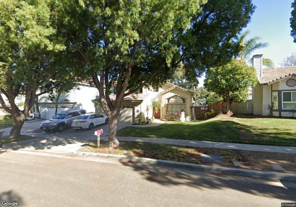
1827 Butternut St Corona, CA 92882
Central Corona NeighborhoodEstimated Value: $756,462 - $809,000
4
Beds
3
Baths
1,885
Sq Ft
$414/Sq Ft
Est. Value
About This Home
This home is located at 1827 Butternut St, Corona, CA 92882 and is currently estimated at $779,616, approximately $413 per square foot. 1827 Butternut St is a home located in Riverside County with nearby schools including Benjamin Franklin Elementary School, Letha Raney Intermediate School, and Corona High School.
Ownership History
Date
Name
Owned For
Owner Type
Purchase Details
Closed on
Jul 13, 2001
Sold by
Cooke Timothy R and Cooke Lynn A
Bought by
Rodriguez Gustavo and Rodriguez Sonia
Current Estimated Value
Home Financials for this Owner
Home Financials are based on the most recent Mortgage that was taken out on this home.
Original Mortgage
$180,800
Outstanding Balance
$69,726
Interest Rate
7.15%
Estimated Equity
$709,890
Purchase Details
Closed on
Apr 19, 1999
Sold by
Cooke Tim and Suttle Lynn
Bought by
Cooke Timothy R and Cooke Lynn A
Create a Home Valuation Report for This Property
The Home Valuation Report is an in-depth analysis detailing your home's value as well as a comparison with similar homes in the area
Home Values in the Area
Average Home Value in this Area
Purchase History
| Date | Buyer | Sale Price | Title Company |
|---|---|---|---|
| Rodriguez Gustavo | $226,000 | Fidelity National Title | |
| Cooke Timothy R | -- | -- |
Source: Public Records
Mortgage History
| Date | Status | Borrower | Loan Amount |
|---|---|---|---|
| Open | Rodriguez Gustavo | $180,800 |
Source: Public Records
Tax History
| Year | Tax Paid | Tax Assessment Tax Assessment Total Assessment is a certain percentage of the fair market value that is determined by local assessors to be the total taxable value of land and additions on the property. | Land | Improvement |
|---|---|---|---|---|
| 2025 | $3,671 | $333,837 | $103,395 | $230,442 |
| 2023 | $3,671 | $320,876 | $99,381 | $221,495 |
| 2022 | $3,555 | $314,585 | $97,433 | $217,152 |
| 2021 | $3,484 | $308,418 | $95,523 | $212,895 |
| 2020 | $3,446 | $305,257 | $94,544 | $210,713 |
| 2019 | $3,366 | $299,273 | $92,691 | $206,582 |
| 2018 | $3,291 | $293,406 | $90,875 | $202,531 |
| 2017 | $3,211 | $287,654 | $89,094 | $198,560 |
| 2016 | $3,179 | $282,015 | $87,348 | $194,667 |
| 2015 | $3,110 | $277,781 | $86,037 | $191,744 |
| 2014 | $2,999 | $272,341 | $84,352 | $187,989 |
Source: Public Records
Map
Nearby Homes
- 1305 Brentwood Cir Unit D
- 1320 Brentwood Cir Unit B
- 1598 Border Ave Unit H
- 1554 Border Ave Unit G
- 1422 Camelot Dr
- 1466 Camelot Dr
- 1183 Via Santiago
- 1546 Tilson Cir
- 1382 Via Santiago
- 1531 Camelot Dr
- 1307 Via Santiago Unit B
- 1127 Via Santiago
- 1315 Via Santiago Unit A
- 1255 Jadestone Ln
- 1077 Westpark Ln
- 2313 Mesquite Ln
- 1226 Sunkist Cir
- 1194 Willits Dr
- 1222 Stephanie Dr
- 1029 Westpark Ln
- 1821 Butternut St
- 1835 Butternut St
- 1813 Butternut St
- 1843 Butternut St
- 1851 Butternut St
- 1828 Butternut St
- 1820 Butternut St
- 1836 Butternut St
- 1812 Butternut St
- 1298 Biltmore Cir
- 1844 Butternut St
- 1859 Butternut St
- 1852 Butternut St
- 1301 Mahogany St
- 1309 Mahogany St
- 1290 Biltmore Cir
- 1317 Mahogany St
- 1867 Butternut St
- 1325 Mahogany St
- 1827 Pecan Cir
Your Personal Tour Guide
Ask me questions while you tour the home.