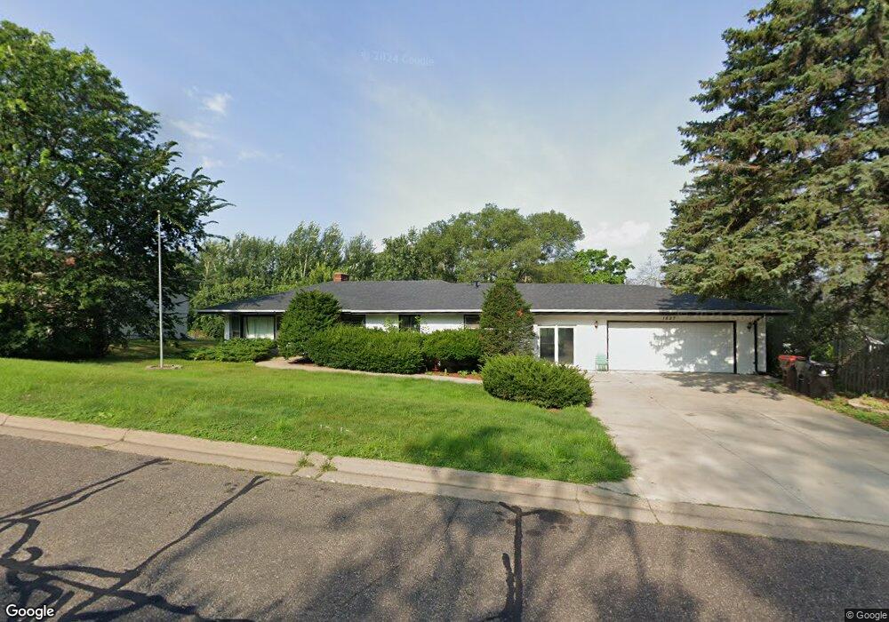
1827 Kennard St Saint Paul, MN 55109
Gladstone NeighborhoodEstimated Value: $325,898 - $342,000
4
Beds
2
Baths
714
Sq Ft
$466/Sq Ft
Est. Value
About This Home
This home is located at 1827 Kennard St, Saint Paul, MN 55109 and is currently estimated at $332,475, approximately $465 per square foot. 1827 Kennard St is a home located in Ramsey County with nearby schools including Weaver Elementary School, John Glenn Middle School, and Mounds Park Academy.
Ownership History
Date
Name
Owned For
Owner Type
Purchase Details
Closed on
Jun 19, 2019
Sold by
Melon Investments Llc
Bought by
Bbb Llc
Current Estimated Value
Purchase Details
Closed on
Nov 27, 2017
Sold by
Henry Jeannine M
Bought by
Melon Investments Llc
Home Financials for this Owner
Home Financials are based on the most recent Mortgage that was taken out on this home.
Original Mortgage
$168,000
Interest Rate
3.9%
Create a Home Valuation Report for This Property
The Home Valuation Report is an in-depth analysis detailing your home's value as well as a comparison with similar homes in the area
Home Values in the Area
Average Home Value in this Area
Purchase History
| Date | Buyer | Sale Price | Title Company |
|---|---|---|---|
| Bbb Llc | -- | Trademark Title Services Inc | |
| Melon Investments Llc | $216,364 | None Available | |
| Henry Jeannie M | -- | Partners Title Llc | |
| Henry Jeannine M | -- | Partners Title Llc |
Source: Public Records
Mortgage History
| Date | Status | Borrower | Loan Amount |
|---|---|---|---|
| Previous Owner | Melon Investments Llc | $168,000 |
Source: Public Records
Tax History Compared to Growth
Tax History
| Year | Tax Paid | Tax Assessment Tax Assessment Total Assessment is a certain percentage of the fair market value that is determined by local assessors to be the total taxable value of land and additions on the property. | Land | Improvement |
|---|---|---|---|---|
| 2025 | $4,180 | $345,900 | $78,800 | $267,100 |
| 2023 | $4,180 | $292,800 | $78,800 | $214,000 |
| 2022 | $3,746 | $277,200 | $78,800 | $198,400 |
| 2021 | $3,530 | $248,900 | $78,800 | $170,100 |
| 2020 | $3,500 | $239,700 | $78,800 | $160,900 |
| 2019 | $3,616 | $221,300 | $78,800 | $142,500 |
| 2018 | $3,530 | $232,100 | $78,800 | $153,300 |
| 2017 | $3,596 | $220,200 | $78,800 | $141,400 |
| 2016 | $3,358 | $0 | $0 | $0 |
| 2015 | $3,212 | $199,000 | $72,300 | $126,700 |
| 2014 | $2,498 | $0 | $0 | $0 |
Source: Public Records
Map
Nearby Homes
- 1849 Kennard St
- 1856 Flandrau St
- 1743 White Bear Ave N
- 1854 Barclay St
- 1627 Christie Place
- 1937 Flandrau St
- 1984 Prosperity Rd
- 1940 Barclay St
- 1740 California Ave E
- 1637 Iowa Ave E
- 1435 Price Ave
- 1869 Birmingham St
- 1672 Manton St
- 1651 Manton St
- 1676 Montana Ave E
- 1840 Iowa Ave E
- 1639 Clarence St
- 1740 English St
- 1840 Hoyt Ave E
- 1874 Hoyt Ave E
- 1819 Kennard St
- 1841 Kennard St
- 1834 Summer Ave
- 1830 Summer Ave
- 1841 Kennard St N
- 1844 Summer Ave
- 1818 Maryknoll Ave
- 1836 Kennard St
- 1842 Kennard St
- 1811 Kennard St
- 1844 Kennard St
- 1816 Kennard St
- 1850 Maryknoll Ave
- 1801 Kennard St
- 1868 Kennard St
- 1808 Kennard St
- 1798 Maryknoll Ave
- 1823 Maryknoll Ave
- 1812 Kennard St
- 1831 Maryknoll Ave