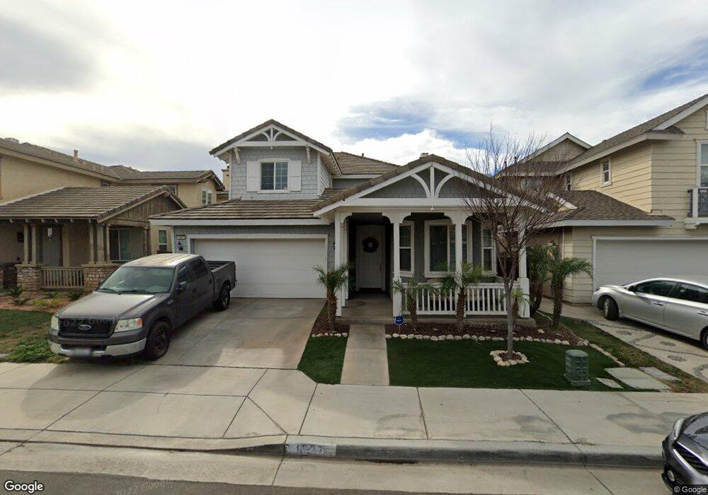
1827 Mount Verdugo Ln Perris, CA 92571
North Perris NeighborhoodEstimated Value: $571,939 - $600,000
4
Beds
3
Baths
2,731
Sq Ft
$214/Sq Ft
Est. Value
About This Home
This home is located at 1827 Mount Verdugo Ln, Perris, CA 92571 and is currently estimated at $584,235, approximately $213 per square foot. 1827 Mount Verdugo Ln is a home located in Riverside County with nearby schools including Avalon Elementary School, Lakeside Middle School, and Rancho Verde High School.
Ownership History
Date
Name
Owned For
Owner Type
Purchase Details
Closed on
Jun 3, 2005
Sold by
Barratt American Inc
Bought by
England Jeffrey R and England Sylvia
Current Estimated Value
Home Financials for this Owner
Home Financials are based on the most recent Mortgage that was taken out on this home.
Original Mortgage
$316,760
Interest Rate
5.25%
Mortgage Type
Purchase Money Mortgage
Create a Home Valuation Report for This Property
The Home Valuation Report is an in-depth analysis detailing your home's value as well as a comparison with similar homes in the area
Home Values in the Area
Average Home Value in this Area
Purchase History
| Date | Buyer | Sale Price | Title Company |
|---|---|---|---|
| England Jeffrey R | $387,000 | Commonwealth Land Title Co |
Source: Public Records
Mortgage History
| Date | Status | Borrower | Loan Amount |
|---|---|---|---|
| Previous Owner | England Jeffrey R | $316,760 |
Source: Public Records
Tax History Compared to Growth
Tax History
| Year | Tax Paid | Tax Assessment Tax Assessment Total Assessment is a certain percentage of the fair market value that is determined by local assessors to be the total taxable value of land and additions on the property. | Land | Improvement |
|---|---|---|---|---|
| 2025 | $8,335 | $528,844 | $95,647 | $433,197 |
| 2023 | $8,335 | $508,310 | $91,934 | $416,376 |
| 2022 | $7,798 | $477,091 | $86,358 | $390,733 |
| 2021 | $6,812 | $404,313 | $73,184 | $331,129 |
| 2020 | $6,284 | $360,994 | $65,343 | $295,651 |
| 2019 | $5,959 | $350,480 | $63,440 | $287,040 |
| 2018 | $5,800 | $337,000 | $61,000 | $276,000 |
| 2017 | $5,405 | $305,000 | $55,000 | $250,000 |
| 2016 | $5,222 | $288,000 | $52,000 | $236,000 |
| 2015 | $5,092 | $278,000 | $50,000 | $228,000 |
| 2014 | $4,832 | $253,000 | $46,000 | $207,000 |
Source: Public Records
Map
Nearby Homes
- 1886 Mount Verdugo Ln
- 1931 Brockstone Dr
- 1979 Mount Verdugo Ln
- 3294 Treehouse Dr
- 3315 Andreas Palms Way
- 1717 Ropehaven Ct
- 3613 Whieldon Dr
- 3353 Wind Chime Ln
- 3080 Kalei Ct
- 27342 Dunite Dr
- 27318 Dunite Dr
- 27330 Dunite Dr
- 27354 Dunite Dr
- 3012 Zara Cir
- 27341 Dunite Dr
- 27329 Dunite Dr
- 27353 Dunite Dr
- 27365 Dunite Dr
- Plan 1800 at Rockridge
- Plan 2763 Modeled at Rockridge
- 1835 Mount Verdugo Ln
- 1819 Mount Verdugo Ln
- 1811 Mount Verdugo Ln
- 1843 Mount Verdugo Ln
- 1851 Mount Verdugo Ln
- 1803 Mount Verdugo Ln
- 1830 Mount Verdugo Ln
- 1822 Mount Verdugo Ln
- 1838 Mount Verdugo Ln
- 1814 Mount Verdugo Ln
- 1859 Mount Verdugo Ln
- 1854 Mount Verdugo Ln
- 1867 Mount Verdugo Ln
- 1862 Mount Verdugo Ln
- 1875 Mount Verdugo Ln
- 3381 Benedetto Point
- 3373 Benedetto Point
- 3389 Benedetto Point
- 3365 Benedetto Point
- 1870 Mount Verdugo Ln