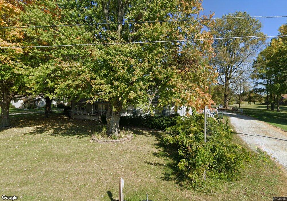
1827 N Franklin St Greenfield, IN 46140
Estimated Value: $253,000 - $321,000
4
Beds
2
Baths
1,768
Sq Ft
$158/Sq Ft
Est. Value
About This Home
This home is located at 1827 N Franklin St, Greenfield, IN 46140 and is currently estimated at $279,633, approximately $158 per square foot. 1827 N Franklin St is a home located in Hancock County with nearby schools including Weston Elementary School, Greenfield Intermediate School, and Greenfield Central Junior High School.
Ownership History
Date
Name
Owned For
Owner Type
Purchase Details
Closed on
Feb 8, 2017
Sold by
Fife Charles
Bought by
Fife Charles and Fife Tressie
Current Estimated Value
Purchase Details
Closed on
Apr 1, 2009
Sold by
Citimortgage Inc
Bought by
Fife Charles and Fife Tressie
Purchase Details
Closed on
May 15, 2008
Sold by
Lime Anthony Scott
Bought by
Citimortgage Inc
Create a Home Valuation Report for This Property
The Home Valuation Report is an in-depth analysis detailing your home's value as well as a comparison with similar homes in the area
Home Values in the Area
Average Home Value in this Area
Purchase History
| Date | Buyer | Sale Price | Title Company |
|---|---|---|---|
| Fife Charles | -- | None Available | |
| Fife Charles | -- | -- | |
| Citimortgage Inc | $96,098 | -- |
Source: Public Records
Tax History Compared to Growth
Tax History
| Year | Tax Paid | Tax Assessment Tax Assessment Total Assessment is a certain percentage of the fair market value that is determined by local assessors to be the total taxable value of land and additions on the property. | Land | Improvement |
|---|---|---|---|---|
| 2024 | $126 | $177,000 | $46,000 | $131,000 |
| 2023 | $126 | $162,800 | $46,000 | $116,800 |
| 2022 | $121 | $88,800 | $26,300 | $62,500 |
| 2021 | $118 | $79,000 | $26,300 | $52,700 |
| 2020 | $166 | $83,100 | $26,300 | $56,800 |
| 2019 | $164 | $80,900 | $26,300 | $54,600 |
| 2018 | $196 | $80,500 | $26,300 | $54,200 |
| 2017 | $194 | $77,700 | $26,300 | $51,400 |
| 2016 | $172 | $75,200 | $25,800 | $49,400 |
| 2014 | $118 | $73,100 | $25,300 | $47,800 |
| 2013 | $118 | $72,200 | $25,300 | $46,900 |
Source: Public Records
Map
Nearby Homes
- 1856 Copeland Farms Dr
- 1559 Whisler Dr
- 1551 Whisler Dr
- 1693 Copeland Farms Dr
- 1581 Dale Ct
- 1307 Fleming Dr
- 1228 Mcbride St
- Harmony Plan at Brunson's Landing
- Stamford Plan at Brunson's Landing
- Chatham Plan at Brunson's Landing
- Aldridge Plan at Brunson's Landing
- Freeport Plan at Brunson's Landing
- Henley Plan at Brunson's Landing
- Bellamy Plan at Brunson's Landing
- 1207 Mcbride St
- 1219 Mcbride St
- 1237 Simms Ln
- 1215 Simms Ln
- 6608 W Shoreline Ct
- 6507 W Whispering Way
- 1827 N Fortville Pike
- 1845 N Franklin St
- 1882 N Franklin St
- 1899 N Franklin St
- 1797 N Franklin St
- 1941 W New Rd
- 1725 N Franklin St
- 1124 W Muskegon Dr
- 1135 W New Rd
- 1114 W Muskegon Dr
- 1104 W Muskegon Dr
- 0 W New Rd
- 0 W New Rd Unit MBR2046330
- 0 W New Rd Unit MBR2457851
- 0 W New Rd Unit 21426174
- 1090 W Muskegon Dr
- 1081 W New Rd
- 1086 W Muskegon Dr
- 1053 W New Rd
- 1694 Whisler Dr