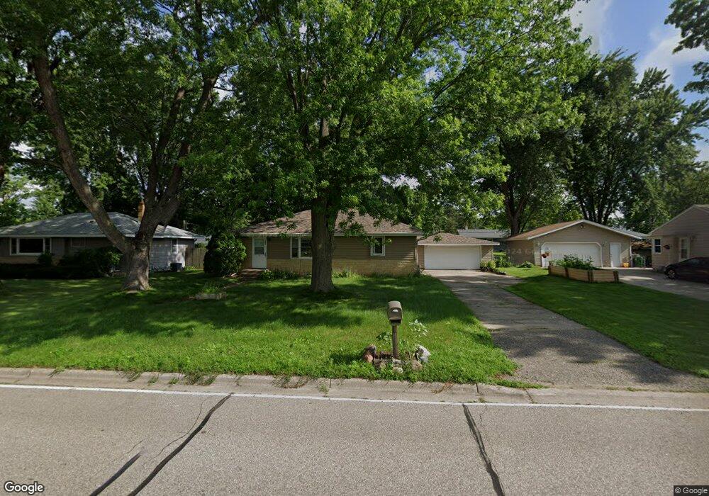
183 County Road C2 W Saint Paul, MN 55113
South Owasso NeighborhoodEstimated Value: $314,000 - $360,005
3
Beds
2
Baths
1,736
Sq Ft
$193/Sq Ft
Est. Value
About This Home
This home is located at 183 County Road C2 W, Saint Paul, MN 55113 and is currently estimated at $335,501, approximately $193 per square foot. 183 County Road C2 W is a home located in Ramsey County with nearby schools including Emmet D. Williams Elementary School, Roseville Area Middle School, and Roseville Area Senior High School.
Ownership History
Date
Name
Owned For
Owner Type
Purchase Details
Closed on
Nov 25, 2019
Sold by
Moller Gregory G and Moeller Michelle M
Bought by
Bain Michael
Current Estimated Value
Home Financials for this Owner
Home Financials are based on the most recent Mortgage that was taken out on this home.
Original Mortgage
$215,910
Interest Rate
3.6%
Mortgage Type
New Conventional
Purchase Details
Closed on
Dec 19, 2001
Sold by
Sweeten Daniela L
Bought by
Moeller Gregory G and Moeller Michelle M
Purchase Details
Closed on
Jul 16, 2001
Sold by
Supply Company
Bought by
Sweeten Daniela L
Create a Home Valuation Report for This Property
The Home Valuation Report is an in-depth analysis detailing your home's value as well as a comparison with similar homes in the area
Home Values in the Area
Average Home Value in this Area
Purchase History
| Date | Buyer | Sale Price | Title Company |
|---|---|---|---|
| Bain Michael | $239,900 | Legacy Title Coon Rapids | |
| Moeller Gregory G | $169,900 | -- | |
| Sweeten Daniela L | $132,767 | -- |
Source: Public Records
Mortgage History
| Date | Status | Borrower | Loan Amount |
|---|---|---|---|
| Previous Owner | Bain Michael | $215,910 | |
| Closed | Sweeten Daniela L | -- |
Source: Public Records
Tax History Compared to Growth
Tax History
| Year | Tax Paid | Tax Assessment Tax Assessment Total Assessment is a certain percentage of the fair market value that is determined by local assessors to be the total taxable value of land and additions on the property. | Land | Improvement |
|---|---|---|---|---|
| 2025 | $4,708 | $327,200 | $90,000 | $237,200 |
| 2023 | $4,708 | $295,600 | $81,000 | $214,600 |
| 2022 | $3,986 | $289,100 | $81,000 | $208,100 |
| 2021 | $3,264 | $256,600 | $85,500 | $171,100 |
| 2020 | $3,392 | $243,500 | $76,000 | $167,500 |
| 2019 | $3,224 | $237,600 | $80,000 | $157,600 |
| 2018 | $2,968 | $221,500 | $79,500 | $142,000 |
| 2017 | $2,394 | $201,400 | $79,500 | $121,900 |
| 2016 | $2,380 | $0 | $0 | $0 |
| 2015 | $2,508 | $173,700 | $72,900 | $100,800 |
| 2014 | $2,350 | $0 | $0 | $0 |
Source: Public Records
Map
Nearby Homes
- 2802 Marion St
- 2841 Galtier St
- 2821 Galtier St
- 2814 Matilda St
- 2970 Western Ave N
- 2687 Galtier St
- 405 Judith Ave
- 387 Iona Ln
- 111 Yorkton Ridge
- 2750 Park View Ct
- 181 Little Canada Rd E Unit 115
- 183 Little Canada Rd E Unit 315
- 183 Little Canada Rd E Unit 310
- 2630 Ruth St
- 2720 MacKubin St
- 259X Stark St
- 2507 Woodbridge St
- 74 Big Circle Dr
- 540 Woodhill Dr Unit 71
- 405 Brooks Ave W
- 191 County Road C2 W
- 175 County Road C2 W
- 175 County Road C2 W Unit 323
- 184 Maple Ln
- 192 Maple Ln
- 176 Maple Ln
- 167 County Road C2 W
- 199 County Road C2 W
- 200 Maple Ln
- 168 Maple Ln
- 159 County Road C2 W
- 207 County Road C2 W
- 208 Maple Ln
- 160 Maple Ln
- 215 County Road C2 W
- 2916 Woodbridge St
- 216 Maple Ln
- 171 Maple Ln
- 223 County Road C2 W
- 2917 Rice St