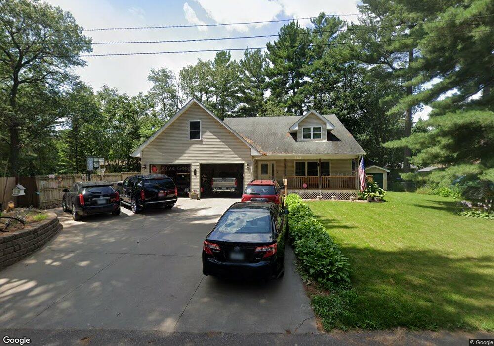
183 Maple Rd Wyoming, MN 55092
Estimated Value: $421,407 - $541,000
4
Beds
4
Baths
3,860
Sq Ft
$121/Sq Ft
Est. Value
About This Home
This home is located at 183 Maple Rd, Wyoming, MN 55092 and is currently estimated at $468,102, approximately $121 per square foot. 183 Maple Rd is a home located in Anoka County with nearby schools including Linwood Elementary School and Forest Lake Area High School.
Ownership History
Date
Name
Owned For
Owner Type
Purchase Details
Closed on
Nov 2, 2020
Sold by
Quememoen Susan J
Bought by
Buzick John W
Current Estimated Value
Home Financials for this Owner
Home Financials are based on the most recent Mortgage that was taken out on this home.
Original Mortgage
$370,405
Outstanding Balance
$329,608
Interest Rate
2.8%
Mortgage Type
New Conventional
Estimated Equity
$138,494
Purchase Details
Closed on
May 1, 2006
Sold by
Eberhardt Dewayne and Eberhardt Sharon
Bought by
Quernemoen Susan J and Quernemoen Charles J
Purchase Details
Closed on
Aug 13, 1998
Sold by
City Of East Bethel
Bought by
Eberhardt Dewayne and Eberhardt Sharon
Purchase Details
Closed on
Mar 20, 1997
Sold by
Larkin Shelagh L and Larkin Kathleen S
Bought by
City Of East Bethel
Create a Home Valuation Report for This Property
The Home Valuation Report is an in-depth analysis detailing your home's value as well as a comparison with similar homes in the area
Home Values in the Area
Average Home Value in this Area
Purchase History
| Date | Buyer | Sale Price | Title Company |
|---|---|---|---|
| Buzick John W | $389,900 | Executive Title | |
| Quernemoen Susan J | $309,000 | -- | |
| Eberhardt Dewayne | $6,005 | -- | |
| City Of East Bethel | $18,500 | -- | |
| Buzick John John | $389,900 | -- |
Source: Public Records
Mortgage History
| Date | Status | Borrower | Loan Amount |
|---|---|---|---|
| Open | Buzick John W | $370,405 | |
| Closed | Buzick John John | $386,000 |
Source: Public Records
Tax History
| Year | Tax Paid | Tax Assessment Tax Assessment Total Assessment is a certain percentage of the fair market value that is determined by local assessors to be the total taxable value of land and additions on the property. | Land | Improvement |
|---|---|---|---|---|
| 2025 | $3,990 | $403,700 | $77,000 | $326,700 |
| 2024 | $3,990 | $404,000 | $75,500 | $328,500 |
| 2023 | $3,873 | $405,400 | $60,900 | $344,500 |
| 2022 | $3,687 | $411,300 | $53,500 | $357,800 |
| 2021 | $3,809 | $340,300 | $52,900 | $287,400 |
| 2020 | $3,702 | $334,100 | $64,800 | $269,300 |
| 2019 | $3,321 | $311,100 | $51,600 | $259,500 |
| 2018 | $2,970 | $269,600 | $0 | $0 |
| 2017 | $2,931 | $253,400 | $0 | $0 |
| 2016 | $2,596 | $207,800 | $0 | $0 |
| 2015 | $2,407 | $207,800 | $25,300 | $182,500 |
| 2014 | -- | $211,500 | $29,000 | $182,500 |
Source: Public Records
Map
Nearby Homes
- 188 Dogwood Rd
- 218 Birch Rd
- 656 Lincoln Dr
- 18922 Yalta St NE
- 20042 Wild Rice Dr NE
- 18316 Everglade Dr NE
- L2 B1 Viking Blvd NE
- 4725 Lexington Ave NE
- 4810 Lexington Ave NE
- 19479 Leyte St NE
- 3841 Interlachen Dr NE
- 18XXX Harpers St NE
- 3729 172nd Ln NE
- 20790 Durant St NE
- 16921 Vickers St NE
- 3730 169th Ln NE
- 20715 Minnie B Grant Ln NE
- TBD S 179th Ave NE
- 2441 179th Ave NE
- 2458 179th Ave NE
Your Personal Tour Guide
Ask me questions while you tour the home.