Estimated Value: $420,000 - $489,883
Studio
2
Baths
2,778
Sq Ft
$164/Sq Ft
Est. Value
About This Home
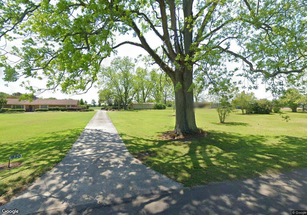
This home is located at 1830 Dixie Rd, Dixie, GA 31629 and is currently estimated at $454,942, approximately $163 per square foot. 1830 Dixie Rd is a home located in Brooks County with nearby schools including Quitman Elementary School and Westbrook School.
Ownership History
Date
Name
Owned For
Owner Type
Purchase Details
Closed on
Jun 30, 2023
Sold by
Moody Family Irrevocable Trust
Bought by
Robinson Constance L and Robinson William T
Current Estimated Value
Purchase Details
Closed on
Sep 14, 2020
Sold by
Moody Harriet B
Bought by
Moody Family Irrev Tr
Purchase Details
Closed on
May 14, 2010
Sold by
Moody Harriet B
Bought by
Conservation Use Covenant Recording
Purchase Details
Closed on
Dec 4, 1998
Sold by
Ball Ball A and Ball D
Bought by
Moody Harriet B
Purchase Details
Closed on
Jan 26, 1987
Bought by
Ball Ball A and Ball D
Purchase Details
Closed on
Jun 13, 1986
Sold by
Moody James L
Bought by
Federal Land Bank
Create a Home Valuation Report for This Property
The Home Valuation Report is an in-depth analysis detailing your home's value as well as a comparison with similar homes in the area
Purchase History
| Date | Buyer | Sale Price | Title Company |
|---|---|---|---|
| Robinson Constance L | -- | -- | |
| Moody Family Irrev Tr | -- | -- | |
| Conservation Use Covenant Recording | -- | -- | |
| Moody Harriet B | $1,000 | -- | |
| Ball Ball A | -- | -- | |
| Federal Land Bank | -- | -- |
Source: Public Records
Tax History
| Year | Tax Paid | Tax Assessment Tax Assessment Total Assessment is a certain percentage of the fair market value that is determined by local assessors to be the total taxable value of land and additions on the property. | Land | Improvement |
|---|---|---|---|---|
| 2025 | $2,515 | $150,584 | $72,000 | $78,584 |
| 2024 | $4,005 | $150,624 | $72,040 | $78,584 |
| 2023 | $1,917 | $137,504 | $63,520 | $73,984 |
| 2022 | $2,104 | $118,024 | $60,480 | $57,544 |
| 2021 | $1,833 | $95,744 | $45,720 | $50,024 |
| 2020 | $2,657 | $95,664 | $45,720 | $49,944 |
| 2019 | $1,746 | $90,384 | $40,000 | $50,384 |
| 2018 | $2,690 | $92,104 | $41,720 | $50,384 |
| 2017 | $1,651 | $89,464 | $41,720 | $47,744 |
| 2016 | $1,692 | $90,184 | $41,720 | $48,464 |
| 2015 | -- | $90,424 | $41,720 | $48,704 |
| 2014 | -- | $91,104 | $41,720 | $49,384 |
| 2013 | -- | $91,104 | $41,720 | $49,384 |
Source: Public Records
Map
Nearby Homes
- 2156 County Road 78
- 5199 U S 84
- 536 N Leaphart St
- Dixie Rd
- 611 Bn S Main St
- 612-BN W Railroad Ave
- 2661 Dewberry Rd
- 2773 Georgia 33
- 431 Dry Lake Rd
- 9900 Ozell Rd
- 146 Old Highway 84 W
- 2815 Parker Rd
- 75 Southern Breeze Ln
- 0000 0000 Ozell Road (15+ - Acres)
- 103 Magnolia Dr
- 1501 W Screven St
- 804 Westlake Dr
- 2195 Coffee Rd
- 1001 W Bartow St
- 7402 Coffee Rd
Your Personal Tour Guide
Ask me questions while you tour the home.