1830 Stark Rd Harris, MN 55032
Estimated Value: $399,810 - $443,000
3
Beds
2
Baths
1,272
Sq Ft
$326/Sq Ft
Est. Value
About This Home
This home is located at 1830 Stark Rd, Harris, MN 55032 and is currently estimated at $415,203, approximately $326 per square foot. 1830 Stark Rd is a home located in Chisago County with nearby schools including North Branch Middle School, Sunrise River Elementary School, and North Branch Senior High School.
Ownership History
Date
Name
Owned For
Owner Type
Purchase Details
Closed on
Sep 14, 2005
Sold by
Syse Robert E
Bought by
Olsen Michael A and Olsen Ruth M
Current Estimated Value
Purchase Details
Closed on
Apr 27, 2005
Sold by
Syse Robert E
Bought by
Olsen Michael and Olsen Ruth
Home Financials for this Owner
Home Financials are based on the most recent Mortgage that was taken out on this home.
Original Mortgage
$179,000
Interest Rate
6%
Mortgage Type
Land Contract Argmt. Of Sale
Purchase Details
Closed on
Apr 29, 2002
Sold by
Oelrich Dale L
Bought by
Syse Robert E
Create a Home Valuation Report for This Property
The Home Valuation Report is an in-depth analysis detailing your home's value as well as a comparison with similar homes in the area
Home Values in the Area
Average Home Value in this Area
Purchase History
| Date | Buyer | Sale Price | Title Company |
|---|---|---|---|
| Olsen Michael A | $229,000 | -- | |
| Olsen Michael | $229,000 | -- | |
| Syse Robert E | $110,000 | -- |
Source: Public Records
Mortgage History
| Date | Status | Borrower | Loan Amount |
|---|---|---|---|
| Closed | Olsen Michael | $179,000 |
Source: Public Records
Tax History Compared to Growth
Tax History
| Year | Tax Paid | Tax Assessment Tax Assessment Total Assessment is a certain percentage of the fair market value that is determined by local assessors to be the total taxable value of land and additions on the property. | Land | Improvement |
|---|---|---|---|---|
| 2023 | $3,680 | $318,000 | $0 | $0 |
| 2022 | $3,418 | $296,000 | $0 | $0 |
| 2021 | $3,060 | $245,700 | $0 | $0 |
| 2020 | $3,106 | $232,900 | $65,700 | $167,200 |
| 2019 | $2,864 | $0 | $0 | $0 |
| 2018 | $2,596 | $0 | $0 | $0 |
| 2017 | $2,334 | $0 | $0 | $0 |
| 2016 | $2,386 | $0 | $0 | $0 |
| 2015 | $2,258 | $0 | $0 | $0 |
| 2014 | -- | $201,400 | $0 | $0 |
Source: Public Records
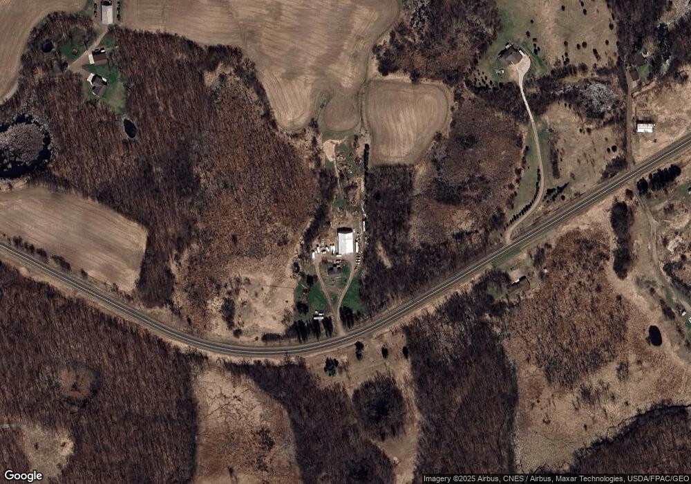
Map
Nearby Homes
- 43929 Cedarcrest Trail
- 2320 Cedarcrest Ct
- 31894 Cedar Crest Trail NE
- TBD Cambridge Way
- 42130 Elmcrest Ave
- 44500 Elmcrest Ave
- 1708 430th St W
- 2629 Crestview Rd
- TBD 313th Ave NE
- 46620 Cambridge Dr
- 32128 Virgo St NE
- XXX Virgo St NE
- TBD Virgo St NE
- xxxx Virgo St NE
- 43xx2 Falcon Ave
- XXX 424th St
- 4714 412th St
- 5150 417th St
- 5048 450th St
- TBD Stark Rd
- 1927 Stark Rd
- 1948 Stark Rd
- 0 Stark Rd Unit 4317523
- xxx Cty Rd 10
- 0 Stark Rd Unit 4317413
- yyy Stark Rd
- x Stark Rd
- 0 Xxx Co Rd 10 Unit 3627393
- 0 Xxx Co Rd 10 Unit 3627353
- 0 Xxx Blackhawk Rd
- 0 Xxx Blackhawk Rd
- 0 Cty Hwy 10 Rd Unit 4425744
- xox Stark Rd
- xx Stark Rd
- xxx Stark Raod
- 2050 Stark Rd
- xx Blackhawk Rd
- 2035 Stark Rd
- 43275 Blackhawk Rd
- 43300 Blackhawk Rd