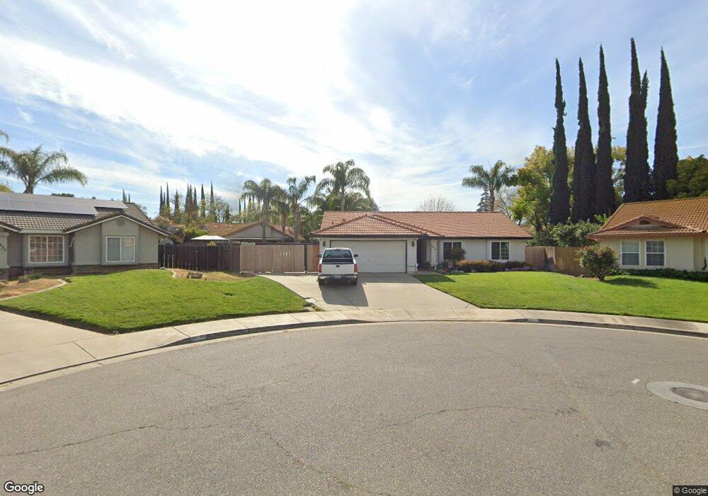
1832 Springfield Ct Merced, CA 95348
Estimated Value: $334,000 - $395,343
4
Beds
2
Baths
1,608
Sq Ft
$235/Sq Ft
Est. Value
About This Home
This home is located at 1832 Springfield Ct, Merced, CA 95348 and is currently estimated at $377,086, approximately $234 per square foot. 1832 Springfield Ct is a home located in Merced County with nearby schools including Luther Burbank Elementary School, Tenaya Middle School, and Merced High School.
Ownership History
Date
Name
Owned For
Owner Type
Purchase Details
Closed on
Apr 25, 2018
Sold by
Longabardi Robert Louis and Longobardi Carol Ann
Bought by
Longobardi Robert Louis and Longobardi Carol Ann
Current Estimated Value
Home Financials for this Owner
Home Financials are based on the most recent Mortgage that was taken out on this home.
Original Mortgage
$80,000
Interest Rate
4.44%
Mortgage Type
New Conventional
Purchase Details
Closed on
Apr 19, 2018
Sold by
Longobardi Robert Louis and Longobardi Carol Ann
Bought by
Longobardi Robert Louis and Longobardi Carol Ann
Home Financials for this Owner
Home Financials are based on the most recent Mortgage that was taken out on this home.
Original Mortgage
$80,000
Interest Rate
4.44%
Mortgage Type
New Conventional
Purchase Details
Closed on
Jun 12, 2013
Sold by
Longobardi Robert Louis and Longobardi Carol Ann
Bought by
Longobardi Robert Louis and Longobardi Carol Ann
Create a Home Valuation Report for This Property
The Home Valuation Report is an in-depth analysis detailing your home's value as well as a comparison with similar homes in the area
Purchase History
| Date | Buyer | Sale Price | Title Company |
|---|---|---|---|
| Longobardi Robert Louis | -- | Trn Transcounty Title Compan | |
| Longobardi Robert Louis | -- | Transcounty Title Company | |
| Longobardi Robert Louis | -- | None Available | |
| Longobardi Robert Louis | -- | None Available |
Source: Public Records
Mortgage History
| Date | Status | Borrower | Loan Amount |
|---|---|---|---|
| Closed | Longobardi Robert Louis | $80,000 |
Source: Public Records
Tax History
| Year | Tax Paid | Tax Assessment Tax Assessment Total Assessment is a certain percentage of the fair market value that is determined by local assessors to be the total taxable value of land and additions on the property. | Land | Improvement |
|---|---|---|---|---|
| 2025 | $2,937 | $278,916 | $69,332 | $209,584 |
| 2024 | $2,937 | $273,448 | $67,973 | $205,475 |
| 2023 | $2,896 | $268,088 | $66,641 | $201,447 |
| 2022 | $2,927 | $262,833 | $65,335 | $197,498 |
| 2021 | $2,197 | $192,974 | $64,054 | $128,920 |
| 2020 | $2,142 | $190,997 | $63,398 | $127,599 |
| 2019 | $2,114 | $187,253 | $62,155 | $125,098 |
| 2018 | $1,928 | $183,583 | $60,937 | $122,646 |
| 2017 | $1,988 | $179,985 | $59,743 | $120,242 |
| 2016 | $1,956 | $176,457 | $58,572 | $117,885 |
| 2015 | $1,918 | $173,808 | $57,693 | $116,115 |
| 2014 | $1,723 | $157,000 | $30,000 | $127,000 |
Source: Public Records
Map
Nearby Homes
- 1541 W North Bear Creek Dr
- 2500 N State Highway 59 Unit 36
- 2500 N State Highway 59 Unit 278
- 2500 N State Highway 59 Unit 239
- 2500 N State Highway 59 Unit 18
- 2500 N State Highway 59
- 1648 W North Bear Creek Dr
- 1963 Shadowbrook Dr
- 1973 Shadowbrook Dr
- 1441 W 20th St
- 1646 W North Bear Creek Dr
- 1656 W North Bear Creek Dr Unit 9
- 1664 W North Bear Creek Dr Unit 5
- 1438 W 19th St
- 1482 Autry Way
- 1463 W 25th St
- 2790 N State Highway 59
- 1145 W 22nd St
- 1274 Devonwood Dr
- 1127 W 23rd St
- 1820 Springfield Ct
- 1819 Brookside Dr
- 1831 Brookside Dr
- 1807 Brookside Dr
- 1507 W North Bear Creek Dr
- 1499 Bear Creek Wn Dr
- 1499 W North Bear Creek Dr
- 1499 NW Bear Creek Dr
- 1843 Brookside Dr
- 1856 Springfield Ct
- 1833 Springfield Ct
- 1801 Brookside Dr
- 1845 Springfield Ct
- 1855 Brookside Dr
- 1491 W North Bear Creek Dr
- 1857 Springfield Ct
- 1867 Brookside Dr
- 2598 Silver Creek Ct
- 2586 Silver Creek Ct
- 1483 W North Bear Creek Dr
Your Personal Tour Guide
Ask me questions while you tour the home.