Estimated Value: $240,579 - $266,000
--
Bed
1
Bath
1,560
Sq Ft
$161/Sq Ft
Est. Value
About This Home
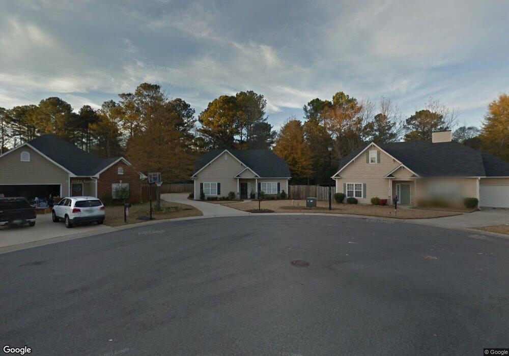
This home is located at 1832 Tyler Cir, Leeds, AL 35094 and is currently estimated at $250,395, approximately $160 per square foot. 1832 Tyler Cir is a home located in St. Clair County with nearby schools including Leeds Elementary School, Leeds Middle School, and Leeds High School.
Ownership History
Date
Name
Owned For
Owner Type
Purchase Details
Closed on
Feb 7, 2011
Sold by
Swader Patrick Theron and Ray Emily Margaret
Bought by
Swader Patrick Theron and Ray Emily Margaret
Current Estimated Value
Home Financials for this Owner
Home Financials are based on the most recent Mortgage that was taken out on this home.
Original Mortgage
$106,000
Interest Rate
4.76%
Mortgage Type
New Conventional
Create a Home Valuation Report for This Property
The Home Valuation Report is an in-depth analysis detailing your home's value as well as a comparison with similar homes in the area
Home Values in the Area
Average Home Value in this Area
Purchase History
| Date | Buyer | Sale Price | Title Company |
|---|---|---|---|
| Swader Patrick Theron | -- | -- |
Source: Public Records
Mortgage History
| Date | Status | Borrower | Loan Amount |
|---|---|---|---|
| Previous Owner | Swader Patrick Theron | $106,000 |
Source: Public Records
Tax History Compared to Growth
Tax History
| Year | Tax Paid | Tax Assessment Tax Assessment Total Assessment is a certain percentage of the fair market value that is determined by local assessors to be the total taxable value of land and additions on the property. | Land | Improvement |
|---|---|---|---|---|
| 2024 | $848 | $41,470 | $10,000 | $31,470 |
| 2023 | $848 | $41,470 | $10,000 | $31,470 |
| 2022 | $739 | $18,213 | $4,200 | $14,013 |
| 2021 | $626 | $18,213 | $4,200 | $14,013 |
| 2020 | $607 | $14,917 | $3,750 | $11,167 |
| 2019 | $591 | $14,667 | $3,500 | $11,167 |
| 2018 | $534 | $13,360 | $0 | $0 |
| 2017 | $484 | $13,360 | $0 | $0 |
| 2016 | $480 | $13,000 | $0 | $0 |
| 2015 | $484 | $13,000 | $0 | $0 |
| 2014 | $484 | $13,240 | $0 | $0 |
Source: Public Records
Map
Nearby Homes
- 8541 Dover Dr
- 2000 Oxford Cir
- 1528 Oliver Rd
- 8332 Cahaba Crossing Cir
- 8372 Cahaba Crossing Cir
- 1652 Oliver Rd
- 1282 Ashville Rd
- 8205 Cottage Ln
- 1189 Ashville Rd
- 8215 Baker Ave
- 8620 Mohring Place
- 8211 Baker Ave
- 8681 Mohring Place
- 8645 Mohring Place
- 8652 Mohring Place
- 8119 Skinner Ave
- 1248 Maitland Rd
- 1624 Allen St
- 1552 Sims St
- Hilltop Ln
- 1828 Tyler Cir
- 1833 Tyler Cir
- 2041 Phillips Cir
- 2045 Phillips Cir
- 1822 Tyler Cir
- 2037 Phillips Cir
- 1913 Kent Cir
- 1917 Kent Cir
- 1829 Tyler Cir
- 2049 Phillips Cir
- 1825 Tyler Cir
- 1816 Tyler Cir
- 2033 Phillips Cir
- 1821 Tyler Cir
- 1909 Kent Cir
- 1519 Phillips Cir
- 1817 Tyler Cir
- 1885 Kent Cir
- 1916 Kent Cir
- 1812 Tyler Cir