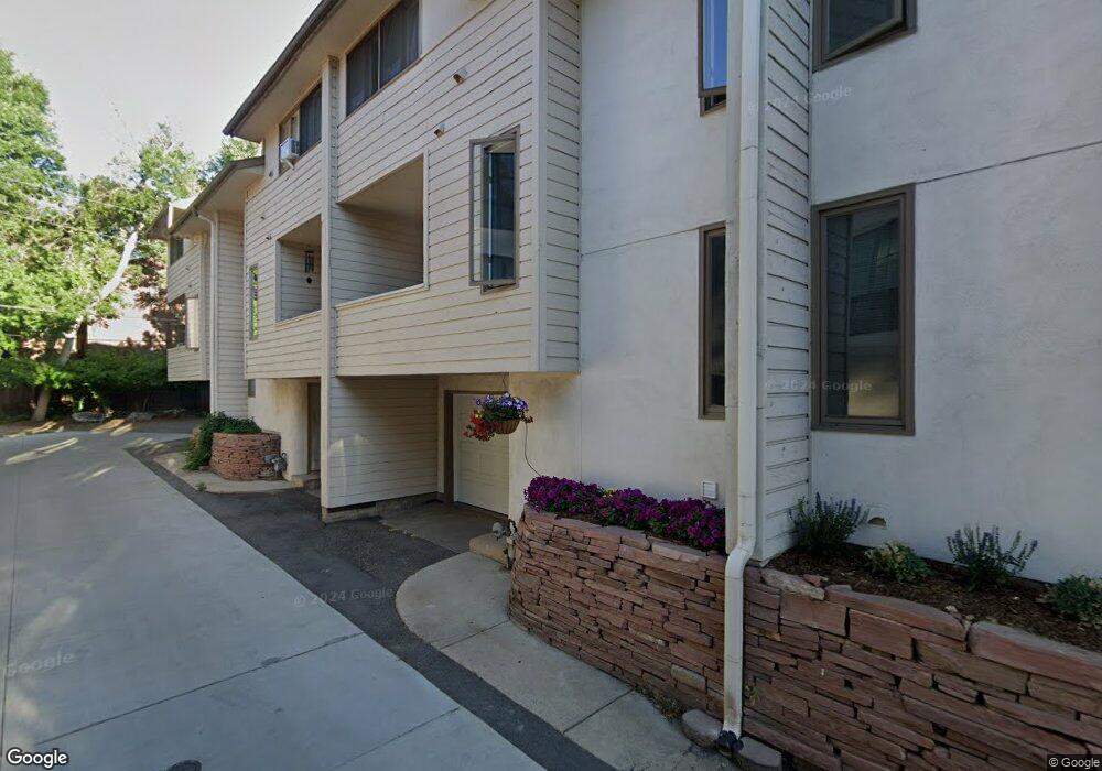
1833 22nd St Unit A Boulder, CO 80302
Whittier NeighborhoodEstimated Value: $652,000 - $1,026,000
4
Beds
3
Baths
1,178
Sq Ft
$725/Sq Ft
Est. Value
About This Home
This home is located at 1833 22nd St Unit A, Boulder, CO 80302 and is currently estimated at $854,184, approximately $725 per square foot. 1833 22nd St Unit A is a home located in Boulder County with nearby schools including Whittier Elementary School, Casey Middle School, and Boulder High School.
Ownership History
Date
Name
Owned For
Owner Type
Purchase Details
Closed on
Oct 2, 2024
Sold by
Hitchings Jon A
Bought by
Hitchings Jon A and Egbert Karen S
Current Estimated Value
Purchase Details
Closed on
Oct 1, 2024
Sold by
Hitchings Todd T
Bought by
Hitchings Jon A
Purchase Details
Closed on
Sep 30, 2024
Sold by
Hitchings Family Limited Partnership
Bought by
Hitchings Jon A and Hitchings Todd T
Purchase Details
Closed on
Dec 23, 1998
Sold by
Hitchings Elizabeth C
Bought by
The Hitchings Family Ltd Partnership
Purchase Details
Closed on
Nov 30, 1992
Bought by
Hitchings Family Limited Partnership
Purchase Details
Closed on
Jul 6, 1982
Bought by
Hitchings Family Limited Partnership
Purchase Details
Closed on
Jun 23, 1982
Bought by
Hitchings Family Limited Partnership
Create a Home Valuation Report for This Property
The Home Valuation Report is an in-depth analysis detailing your home's value as well as a comparison with similar homes in the area
Home Values in the Area
Average Home Value in this Area
Purchase History
| Date | Buyer | Sale Price | Title Company |
|---|---|---|---|
| Hitchings Jon A | -- | None Listed On Document | |
| Hitchings Jon A | -- | None Listed On Document | |
| Hitchings Jon A | -- | None Listed On Document | |
| The Hitchings Family Ltd Partnership | -- | -- | |
| Hitchings Family Limited Partnership | $132,000 | -- | |
| Hitchings Family Limited Partnership | $90,000 | -- | |
| Hitchings Family Limited Partnership | -- | -- |
Source: Public Records
Tax History
| Year | Tax Paid | Tax Assessment Tax Assessment Total Assessment is a certain percentage of the fair market value that is determined by local assessors to be the total taxable value of land and additions on the property. | Land | Improvement |
|---|---|---|---|---|
| 2025 | $4,881 | $60,469 | -- | $60,469 |
| 2024 | $4,881 | $60,469 | -- | $60,469 |
| 2023 | $4,794 | $54,645 | -- | $58,330 |
| 2022 | $4,804 | $50,923 | $0 | $50,923 |
| 2021 | $4,584 | $52,388 | $0 | $52,388 |
| 2020 | $4,794 | $55,076 | $0 | $55,076 |
| 2019 | $4,721 | $55,076 | $0 | $55,076 |
| 2018 | $3,988 | $45,994 | $0 | $45,994 |
| 2017 | $3,863 | $50,848 | $0 | $50,848 |
| 2016 | $3,411 | $39,402 | $0 | $39,402 |
| 2015 | $3,230 | $34,491 | $0 | $34,491 |
| 2014 | $2,965 | $34,491 | $0 | $34,491 |
Source: Public Records
Map
Nearby Homes
- 2227 Canyon Blvd Unit 253B
- 2227 Canyon Blvd Unit 462B
- 2227 Canyon Blvd Unit 363B
- 2227 Canyon Blvd Unit 261B
- 2227 Canyon Blvd Unit 458B
- 2238 Canyon Blvd Unit 1
- 2317 Walnut St
- 1850 Folsom St Unit 411
- 1850 Folsom St Unit 412
- 1850 Folsom St Unit 212
- 1850 Folsom St Unit 402
- 1916 23rd St Unit 6
- 2304 Pearl St Unit 2
- 1945 Canyon Blvd
- 2201 Pearl St Unit 224
- 2201 Pearl St Unit 118
- 1894 Folsom St
- 2465 Walnut St Unit 13
- 2465 Walnut St Unit 7
- 1837 Walnut St Unit E
- 1833 22nd St Unit D
- 1833 22nd St Unit C
- 1833 22nd St Unit B
- 1837 22nd St
- 1831 22nd St Unit 2
- 1831 22nd St Unit 1
- 1831 22nd St Unit 4
- 1831 22nd St Unit 3
- 1829 22nd St
- 2155 Walnut St
- 2155 Walnut St Unit 3
- 1843 22nd St
- 1823 22nd St
- 2155 S Walnut St Unit 4
- 2155 S Walnut St Unit 3
- 2155 S Walnut St Unit 2
- 2155 S Walnut St Unit 1
- 2165 S Walnut St Unit 12
- 2165 S Walnut St Unit 11
- 2155 S Walnut St Unit 9