Estimated Value: $231,000 - $259,000
3
Beds
2
Baths
1,392
Sq Ft
$176/Sq Ft
Est. Value
About This Home
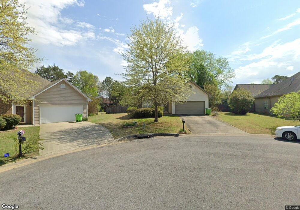
This home is located at 1833 Bristol Rd, Leeds, AL 35094 and is currently estimated at $244,778, approximately $175 per square foot. 1833 Bristol Rd is a home located in St. Clair County with nearby schools including Leeds Elementary School, Leeds Middle School, and Leeds High School.
Ownership History
Date
Name
Owned For
Owner Type
Purchase Details
Closed on
Apr 23, 2012
Sold by
Duke Ernest E and Duke Sandra T
Bought by
Isbell Leila D
Current Estimated Value
Purchase Details
Closed on
Nov 24, 2009
Sold by
Cabaniss Mona A
Bought by
Figueroa Hernan P
Home Financials for this Owner
Home Financials are based on the most recent Mortgage that was taken out on this home.
Original Mortgage
$104,800
Interest Rate
5.01%
Mortgage Type
New Conventional
Purchase Details
Closed on
May 12, 2005
Sold by
Adams Brian A and Adams Shelly P
Bought by
Bourne Daniel D and Bourne Linda T
Create a Home Valuation Report for This Property
The Home Valuation Report is an in-depth analysis detailing your home's value as well as a comparison with similar homes in the area
Home Values in the Area
Average Home Value in this Area
Purchase History
| Date | Buyer | Sale Price | Title Company |
|---|---|---|---|
| Isbell Leila D | $155,000 | -- | |
| Figueroa Hernan P | $131,000 | None Available | |
| Bourne Daniel D | $155,000 | None Available |
Source: Public Records
Mortgage History
| Date | Status | Borrower | Loan Amount |
|---|---|---|---|
| Previous Owner | Figueroa Hernan P | $104,800 |
Source: Public Records
Tax History
| Year | Tax Paid | Tax Assessment Tax Assessment Total Assessment is a certain percentage of the fair market value that is determined by local assessors to be the total taxable value of land and additions on the property. | Land | Improvement |
|---|---|---|---|---|
| 2024 | $812 | $39,788 | $10,000 | $29,788 |
| 2023 | $812 | $39,788 | $10,000 | $29,788 |
| 2022 | $709 | $17,516 | $4,200 | $13,316 |
| 2021 | $600 | $17,516 | $4,200 | $13,316 |
| 2020 | $581 | $14,318 | $3,750 | $10,568 |
| 2019 | $565 | $14,068 | $3,500 | $10,568 |
| 2018 | $515 | $12,920 | $0 | $0 |
| 2017 | $471 | $12,920 | $0 | $0 |
| 2016 | $466 | $12,660 | $0 | $0 |
| 2015 | $471 | $12,660 | $0 | $0 |
| 2014 | $471 | $12,920 | $0 | $0 |
Source: Public Records
Map
Nearby Homes
- 2000 Oxford Cir
- 8564 Dover Dr
- 1652 Oliver Rd
- 1528 Oliver Rd
- 8161 Phillips Dr
- 2025 Phillips Cir
- 8352 Cahaba Crossing Cir
- 8441 Lanewood Cir
- 8332 Cahaba Crossing Cir
- 8425 Lanewood Cir
- 8549 Rockhampton St
- 8401 Lanewood Cir
- 8684 Mohring Place
- 1651 Thornhill Rd
- 1904 Lane Dr
- 8804 Rockhampton Dr
- 8653 Mohring Place
- 1189 Ashville Rd
- 1972 Whitmire St
- 1940 Linden St
- 1829 Bristol Rd
- 1700 Carlisle Cir
- 1837 Bristol Rd
- 1701 Carlisle Cir
- 1825 Bristol Rd
- 1704 Carlisle Cir
- 1836 Bristol Rd
- 1801 Covington Cir
- 1821 Bristol Rd
- 1832 Bristol Rd
- 1828 Bristol Rd
- 1705 Carlisle Cir
- 1824 Bristol Rd
- 1708 Carlisle Cir
- 1800 Covington Cir
- 1817 Bristol Rd
- 1805 Covington Cir
- 1716 Windsor Ln
- 1709 Carlisle Cir
- 1820 Bristol Rd
Your Personal Tour Guide
Ask me questions while you tour the home.