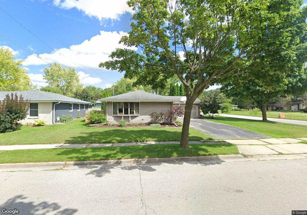
1833 Chapman Dr Waukesha, WI 53189
Estimated Value: $393,000 - $411,894
3
Beds
3
Baths
1,440
Sq Ft
$278/Sq Ft
Est. Value
About This Home
This home is located at 1833 Chapman Dr, Waukesha, WI 53189 and is currently estimated at $400,224, approximately $277 per square foot. 1833 Chapman Dr is a home located in Waukesha County with nearby schools including Prairie Elementary School, Les Paul Middle School - Central Campus, and West High School.
Ownership History
Date
Name
Owned For
Owner Type
Purchase Details
Closed on
Mar 18, 2004
Sold by
Stevens Randall D and Stevens Cheryl L
Bought by
Mcallister Brian A and Mcallister Jennifer A
Current Estimated Value
Home Financials for this Owner
Home Financials are based on the most recent Mortgage that was taken out on this home.
Original Mortgage
$167,200
Outstanding Balance
$72,360
Interest Rate
4.62%
Mortgage Type
Purchase Money Mortgage
Estimated Equity
$327,864
Create a Home Valuation Report for This Property
The Home Valuation Report is an in-depth analysis detailing your home's value as well as a comparison with similar homes in the area
Home Values in the Area
Average Home Value in this Area
Purchase History
| Date | Buyer | Sale Price | Title Company |
|---|---|---|---|
| Mcallister Brian A | $209,000 | Priority Title Corporation |
Source: Public Records
Mortgage History
| Date | Status | Borrower | Loan Amount |
|---|---|---|---|
| Open | Mcallister Brian A | $167,200 |
Source: Public Records
Tax History Compared to Growth
Tax History
| Year | Tax Paid | Tax Assessment Tax Assessment Total Assessment is a certain percentage of the fair market value that is determined by local assessors to be the total taxable value of land and additions on the property. | Land | Improvement |
|---|---|---|---|---|
| 2024 | $6,737 | $337,200 | $65,100 | $272,100 |
| 2023 | $6,851 | $337,200 | $65,100 | $272,100 |
| 2022 | $6,239 | $230,700 | $64,400 | $166,300 |
| 2021 | $6,409 | $230,700 | $64,400 | $166,300 |
| 2020 | $6,032 | $230,700 | $64,400 | $166,300 |
| 2019 | $5,437 | $230,700 | $64,400 | $166,300 |
| 2018 | $4,765 | $207,800 | $56,900 | $150,900 |
| 2017 | $4,779 | $207,800 | $56,900 | $150,900 |
| 2016 | $4,744 | $185,500 | $55,000 | $130,500 |
| 2015 | $3,654 | $185,500 | $55,000 | $130,500 |
| 2014 | $3,811 | $185,500 | $55,000 | $130,500 |
| 2013 | $3,811 | $185,500 | $55,000 | $130,500 |
Source: Public Records
Map
Nearby Homes
- 2010 Dixie Dr
- 1722 Sycamore Dr
- 1101 Dogwood Ln
- 1909 Mallard Pointe Cir
- 1706 Haymarket Rd
- 1027 River Place Blvd Unit 1027
- 1210 Woodbury Common Unit C
- 1203 Woodbury Common Unit B
- 1203 Woodbury Common Unit D
- 1277 Market Place
- 1523 David Ln
- LtD59 White Deer Trail
- 812 Timber Ridge Ct Unit 10
- S54W25487 Pebble Brook Ct
- S54W25436 Pebble Brook Ct
- 838 Elise Ct Unit 23
- 801 Timber Ridge Dr
- S31W26111 Sunset Dr
- Lt6 Finch Ct
- 2415 Fox River Pkwy Unit H
- 1829 Chapman Dr
- 1000 Burr Oak Blvd
- 1828 Chapman Dr
- 1828 Dixie Dr
- 1825 Chapman Dr
- 1832 Chapman Dr
- 1824 Chapman Dr
- 1824 Dixie Dr
- 1821 Chapman Dr
- 1005 Burr Oak Blvd
- 1820 Chapman Dr
- 1820 Dixie Dr
- 1001 Burr Oak Blvd
- 1101 Burr Oak Blvd
- 1835 Sycamore Dr
- 1905 Chapman Dr
- 924 Burr Oak Blvd
- 1831 Sycamore Dr
- 1827 Sycamore Dr
- 1816 Chapman Dr