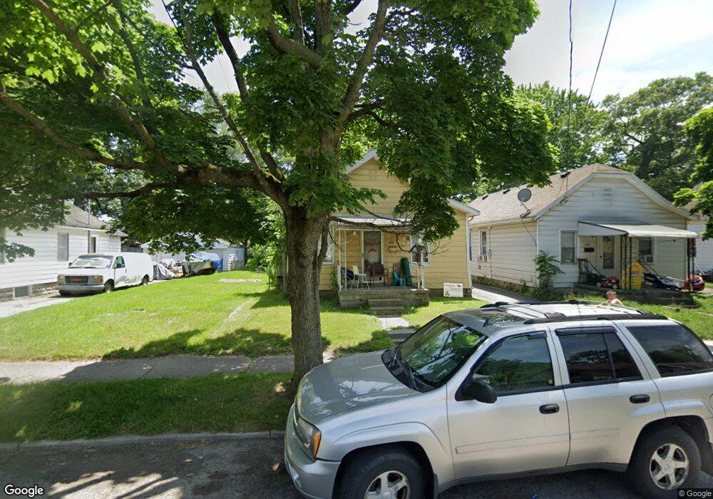
1833 Duncan Rd Toledo, OH 43613
DeVeaux NeighborhoodEstimated Value: $54,000 - $87,000
2
Beds
1
Bath
838
Sq Ft
$85/Sq Ft
Est. Value
About This Home
This home is located at 1833 Duncan Rd, Toledo, OH 43613 and is currently estimated at $71,009, approximately $84 per square foot. 1833 Duncan Rd is a home located in Lucas County with nearby schools including McKinley Stemm Academy, Start High School, and Hope Learning Academy of Toledo.
Ownership History
Date
Name
Owned For
Owner Type
Purchase Details
Closed on
Nov 27, 1999
Sold by
Fred Hilt and Fuller Ashley
Bought by
Henneman Carrie
Current Estimated Value
Purchase Details
Closed on
Aug 7, 1997
Sold by
Baskin Tari M
Bought by
Hilt Fred P and Fuller Ashley R
Home Financials for this Owner
Home Financials are based on the most recent Mortgage that was taken out on this home.
Original Mortgage
$30,400
Interest Rate
7.68%
Mortgage Type
Balloon
Purchase Details
Closed on
May 5, 1993
Sold by
Heuermann Dolores I
Create a Home Valuation Report for This Property
The Home Valuation Report is an in-depth analysis detailing your home's value as well as a comparison with similar homes in the area
Home Values in the Area
Average Home Value in this Area
Purchase History
| Date | Buyer | Sale Price | Title Company |
|---|---|---|---|
| Henneman Carrie | $27,000 | -- | |
| Hilt Fred P | $28,500 | -- | |
| -- | $17,300 | -- |
Source: Public Records
Mortgage History
| Date | Status | Borrower | Loan Amount |
|---|---|---|---|
| Previous Owner | Hilt Fred P | $30,400 |
Source: Public Records
Tax History Compared to Growth
Tax History
| Year | Tax Paid | Tax Assessment Tax Assessment Total Assessment is a certain percentage of the fair market value that is determined by local assessors to be the total taxable value of land and additions on the property. | Land | Improvement |
|---|---|---|---|---|
| 2024 | $510 | $15,925 | $5,425 | $10,500 |
| 2023 | $660 | $9,380 | $3,640 | $5,740 |
| 2022 | $662 | $9,380 | $3,640 | $5,740 |
| 2021 | $676 | $9,380 | $3,640 | $5,740 |
| 2020 | $730 | $8,960 | $3,465 | $5,495 |
| 2019 | $708 | $8,960 | $3,465 | $5,495 |
| 2018 | $952 | $8,960 | $3,465 | $5,495 |
| 2017 | $1,202 | $15,295 | $3,395 | $11,900 |
| 2016 | $1,201 | $43,700 | $9,700 | $34,000 |
| 2015 | $1,190 | $43,700 | $9,700 | $34,000 |
| 2014 | $989 | $15,300 | $3,400 | $11,900 |
| 2013 | $989 | $15,300 | $3,400 | $11,900 |
Source: Public Records
Map
Nearby Homes
- 1820 Marne Ave
- 1747 Duncan Rd
- 1735 Wychwood St
- 1814 Bigelow St
- 1804 Bigelow St
- 1952 Fairfax Rd
- 2017 Marlow Rd
- 2045 Fairfax Rd
- 1759 Talbot St
- 2056 Fairfax Rd
- 1840 Talbot St
- 2106 Fairfax Rd
- 1935 Talbot St
- 3022 Isabella St
- 2041 Loxley Rd
- 1814 Balkan Place
- 1942 Wellesley Dr
- 1846 Balkan Place
- 1939 Balkan Place
- 1815 Berdan Ave