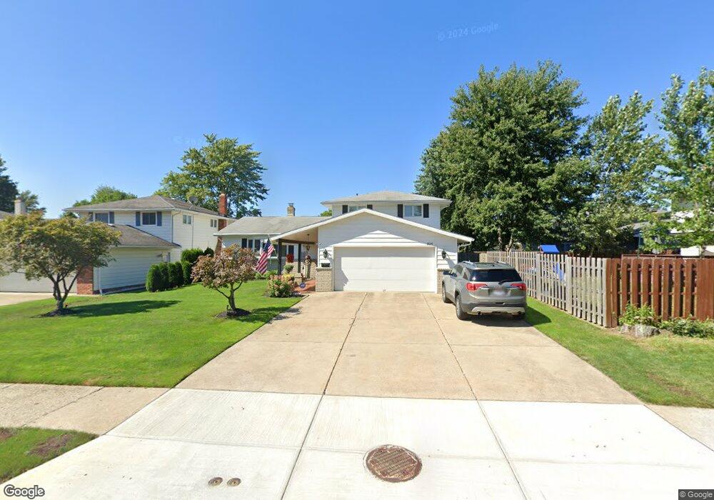
1834 Euston Dr Cleveland, OH 44124
Estimated Value: $295,000 - $384,000
4
Beds
3
Baths
2,216
Sq Ft
$153/Sq Ft
Est. Value
About This Home
This home is located at 1834 Euston Dr, Cleveland, OH 44124 and is currently estimated at $339,962, approximately $153 per square foot. 1834 Euston Dr is a home located in Cuyahoga County with nearby schools including Mayfield High School, Corpus Christi Academy, and Gilmour Academy.
Ownership History
Date
Name
Owned For
Owner Type
Purchase Details
Closed on
Jun 10, 2002
Sold by
Falsone Carmen L
Bought by
Falsone Carmen L and Falsone Michael E
Current Estimated Value
Purchase Details
Closed on
Aug 25, 1995
Sold by
Gentille Jack Anthony
Bought by
Falsone Carmen L
Home Financials for this Owner
Home Financials are based on the most recent Mortgage that was taken out on this home.
Original Mortgage
$80,000
Interest Rate
6.89%
Mortgage Type
New Conventional
Purchase Details
Closed on
Apr 4, 1980
Sold by
Rich Michael L and Rich Geraldine
Bought by
Gentille Jack Anthony
Purchase Details
Closed on
Jan 1, 1975
Bought by
Rich Michael L and Rich Geraldine
Create a Home Valuation Report for This Property
The Home Valuation Report is an in-depth analysis detailing your home's value as well as a comparison with similar homes in the area
Home Values in the Area
Average Home Value in this Area
Purchase History
| Date | Buyer | Sale Price | Title Company |
|---|---|---|---|
| Falsone Carmen L | -- | -- | |
| Falsone Carmen L | $180,000 | -- | |
| Gentille Jack Anthony | $108,900 | -- | |
| Rich Michael L | -- | -- |
Source: Public Records
Mortgage History
| Date | Status | Borrower | Loan Amount |
|---|---|---|---|
| Closed | Falsone Carmen L | $80,000 |
Source: Public Records
Tax History Compared to Growth
Tax History
| Year | Tax Paid | Tax Assessment Tax Assessment Total Assessment is a certain percentage of the fair market value that is determined by local assessors to be the total taxable value of land and additions on the property. | Land | Improvement |
|---|---|---|---|---|
| 2024 | $8,148 | $125,895 | $17,150 | $108,745 |
| 2023 | $6,369 | $89,570 | $17,750 | $71,820 |
| 2022 | $6,484 | $89,570 | $17,750 | $71,820 |
| 2021 | $6,416 | $89,570 | $17,750 | $71,820 |
| 2020 | $5,982 | $76,550 | $15,160 | $61,390 |
| 2019 | $5,794 | $218,700 | $43,300 | $175,400 |
| 2018 | $5,761 | $76,550 | $15,160 | $61,390 |
| 2017 | $5,355 | $66,430 | $13,230 | $53,200 |
| 2016 | $5,314 | $66,430 | $13,230 | $53,200 |
| 2015 | $4,907 | $66,430 | $13,230 | $53,200 |
| 2014 | $4,907 | $66,430 | $13,230 | $53,200 |
Source: Public Records
Map
Nearby Homes
- 1737 Mayfair Blvd
- 5960 Cantwell Dr
- 5831 Alberta Dr
- 1722 Hawthorne Dr
- 1763 Temple Ave
- 1839 Caronia Dr
- 1856 Bremerton Rd
- 5688 Shawnee Dr
- 1652 Temple Ave
- 1637 Lander Rd
- 1857 Brainard Rd
- 1775 Brainard Rd
- 6132 Westerham Rd
- 5931 Mayberry Ave
- 5814 Tiffany Ct
- 1590 Longwood Dr
- 1574 Hawthorne Dr
- 1575 Lander Rd
- S/L 1 Bridgeport Way
- 43 Bridgeport Way
- 1840 Euston Dr
- 1840 Euston Dr
- 5890 Ashcroft Dr
- 5884 Ashcroft Dr
- 1846 Euston Dr
- 1833 Fulham Dr
- 1839 Fulham Dr
- 5878 Ashcroft Dr
- 1845 Fulham Dr
- 5904 Ashcroft Dr
- 1852 Euston Dr
- 1833 Euston Dr
- 5872 Ashcroft Dr
- 1851 Fulham Dr
- 1847 Euston Dr
- 5910 Ashcroft Dr
- 1858 Euston Dr
- 1857 Fulham Dr
- 1855 Euston Dr
- 5887 Ashcroft Dr