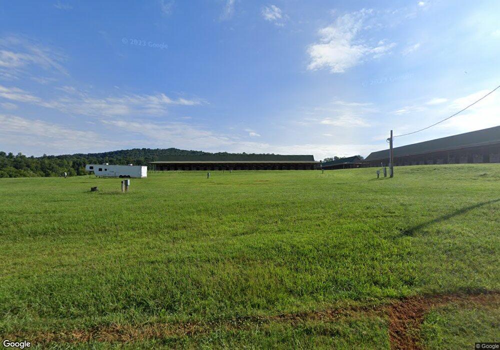
1834 London Rd New Market, TN 37820
Estimated Value: $235,000 - $405,000
--
Bed
2
Baths
1,568
Sq Ft
$210/Sq Ft
Est. Value
About This Home
This home is located at 1834 London Rd, New Market, TN 37820 and is currently estimated at $328,771, approximately $209 per square foot. 1834 London Rd is a home located in Jefferson County.
Ownership History
Date
Name
Owned For
Owner Type
Purchase Details
Closed on
Aug 25, 2025
Sold by
Graves Sarah Ann
Bought by
Graves William J
Current Estimated Value
Purchase Details
Closed on
May 4, 2010
Sold by
Graves William J
Bought by
Graves Sarah Ann
Home Financials for this Owner
Home Financials are based on the most recent Mortgage that was taken out on this home.
Original Mortgage
$98,494
Interest Rate
5.62%
Mortgage Type
FHA
Purchase Details
Closed on
Aug 13, 2006
Bought by
Graves William J
Purchase Details
Closed on
Jun 20, 2006
Bought by
River Glen Land Partnership
Purchase Details
Closed on
Jun 7, 2005
Bought by
Strom David J
Purchase Details
Closed on
Sep 18, 1987
Bought by
Graves Kathleen B Trustee
Purchase Details
Closed on
Sep 17, 1987
Purchase Details
Closed on
Feb 15, 1938
Bought by
Bates O Leland
Create a Home Valuation Report for This Property
The Home Valuation Report is an in-depth analysis detailing your home's value as well as a comparison with similar homes in the area
Home Values in the Area
Average Home Value in this Area
Purchase History
| Date | Buyer | Sale Price | Title Company |
|---|---|---|---|
| Graves William J | -- | None Listed On Document | |
| Graves Sarah Ann | $121,000 | -- | |
| Graves William J | -- | -- | |
| River Glen Land Partnership | -- | -- | |
| Strom David J | -- | -- | |
| Graves Kathleen B Trustee | -- | -- | |
| -- | $13,000 | -- | |
| Bates O Leland | -- | -- |
Source: Public Records
Mortgage History
| Date | Status | Borrower | Loan Amount |
|---|---|---|---|
| Previous Owner | Bates O Leland | $98,494 |
Source: Public Records
Tax History Compared to Growth
Tax History
| Year | Tax Paid | Tax Assessment Tax Assessment Total Assessment is a certain percentage of the fair market value that is determined by local assessors to be the total taxable value of land and additions on the property. | Land | Improvement |
|---|---|---|---|---|
| 2025 | $557 | $41,800 | $13,100 | $28,700 |
| 2023 | $557 | $24,225 | $0 | $0 |
| 2022 | $531 | $24,225 | $11,600 | $12,625 |
| 2021 | $531 | $24,225 | $11,600 | $12,625 |
| 2020 | $531 | $24,225 | $11,600 | $12,625 |
| 2019 | $531 | $24,225 | $11,600 | $12,625 |
| 2018 | $570 | $24,275 | $11,600 | $12,675 |
| 2017 | $570 | $24,275 | $11,600 | $12,675 |
| 2016 | $570 | $24,275 | $11,600 | $12,675 |
| 2015 | $570 | $24,275 | $11,600 | $12,675 |
| 2014 | $570 | $24,275 | $11,600 | $12,675 |
Source: Public Records
Map
Nearby Homes
- 2005 River Mist Cir
- 2049 River Mist Cir
- 1909 Buck Hollow Rd Unit 9
- 1909 Buck Hollow Rd
- 2041 River Mist Cir
- 0 River Stone Dr Unit 1292726
- 1951 Buck Hollow Rd
- 2501 Stone Rd
- 25R1 Cliff Top Rd
- 807 Collins Rd
- 0 Collins Rd
- 1032 Lost Creek Rd
- 629&609 Nance Ferry Rd
- 2760 Holston River Dr
- Lot 2 Beard Rd
- 8 River Ranch Dr
- Lot 14R2 Pleasant View Cemetery Rd
- 71 River Dr
- 1869 Westward Rd
- 1743 Holston River Dr
- 1839 London Rd
- 1839 London Rd
- 1817 London Rd
- 1864 London Rd
- 2569 Nances Ferry Rd
- 544 Callaway Ridge Rd
- 1930 London Rd
- 2640 Nances Ferry Rd
- 2485 Nances Ferry Rd
- 2472 Nances Ferry Rd
- 596 Callaway Ridge Rd
- 500 Horse Shoe Bend Rd
- 2628 Nances Ferry Rd
- 2618 Nances Ferry Rd
- 2464 Nances Ferry Rd
- 372 Horse Shoe Bend Rd
- 2660 Nances Ferry Rd
- 1949 River Mist Cir
- 1947 River Mist Cir
- 1945 River Mist Cir
