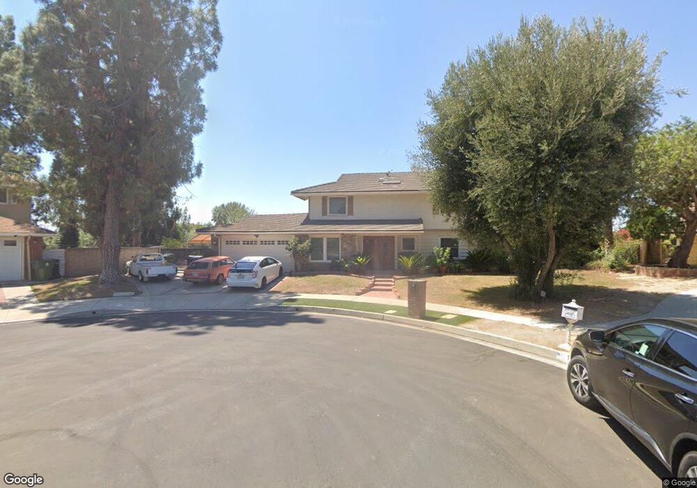
18340 Index St Porter Ranch, CA 91326
Porter Ranch NeighborhoodEstimated Value: $1,135,000 - $1,242,327
4
Beds
3
Baths
2,001
Sq Ft
$586/Sq Ft
Est. Value
About This Home
This home is located at 18340 Index St, Porter Ranch, CA 91326 and is currently estimated at $1,172,832, approximately $586 per square foot. 18340 Index St is a home located in Los Angeles County with nearby schools including Darby Avenue Elementary, Patrick Henry Middle School, and Valley Academy of Arts & Sciences.
Ownership History
Date
Name
Owned For
Owner Type
Purchase Details
Closed on
Aug 23, 2004
Sold by
Paiboonkulkitti Yongyuth
Bought by
Paiboonkulkitti Kularb and The Paiboonkulkitti Family Tru
Current Estimated Value
Purchase Details
Closed on
Aug 14, 2001
Sold by
Paiboonkulkitti Kularb and Paiboonkulkitti Kularbsuphunthuchat
Bought by
Paiboonkulkitti Yongyuth and Paiboonkulkitti Kularb
Purchase Details
Closed on
Jan 9, 1996
Sold by
Paiboonkulkitti Yonguth and Paiboonkulkitti Kularbsuphunthuchat
Bought by
Paiboonkulkitti Kularbsuphunthuchat
Create a Home Valuation Report for This Property
The Home Valuation Report is an in-depth analysis detailing your home's value as well as a comparison with similar homes in the area
Home Values in the Area
Average Home Value in this Area
Purchase History
We collect this data history from publicly available records. To have your information removed, we recommend requesting removal directly through your county’s website.
| Date | Buyer | Sale Price | Title Company |
|---|---|---|---|
| Paiboonkulkitti Kularb | -- | -- | |
| Paiboonkulkitti Yongyuth | -- | -- | |
| Paiboonkulkitti Kularbsuphunthuchat | -- | -- |
Source: Public Records
Tax History
| Year | Tax Paid | Tax Assessment Tax Assessment Total Assessment is a certain percentage of the fair market value that is determined by local assessors to be the total taxable value of land and additions on the property. | Land | Improvement |
|---|---|---|---|---|
| 2025 | $6,545 | $511,409 | $295,235 | $216,174 |
| 2024 | $6,486 | $501,383 | $289,447 | $211,936 |
| 2023 | $6,366 | $491,553 | $283,772 | $207,781 |
| 2022 | $6,083 | $481,915 | $278,208 | $203,707 |
| 2021 | $6,003 | $472,466 | $272,753 | $199,713 |
| 2019 | $5,831 | $458,455 | $264,664 | $193,791 |
| 2018 | $5,699 | $449,467 | $259,475 | $189,992 |
| 2016 | $5,439 | $432,015 | $249,400 | $182,615 |
| 2015 | $5,362 | $425,526 | $245,654 | $179,872 |
| 2014 | $5,389 | $417,191 | $240,842 | $176,349 |
Source: Public Records
Map
Nearby Homes
- 18371 Lahey St
- 18427 San Fernando Mission Blvd
- 11348 Reseda Blvd Unit B
- 11348 Reseda Blvd Unit D
- 11348 Reseda Blvd Unit E
- 11348 Reseda Blvd
- 11348 Reseda Blvd Unit A
- 11348 Reseda Blvd Unit C
- 11056 Chimineas Ave
- 11158 Newcastle Ave
- 18720 San Fernando Mission Blvd
- 11300 Dulcet Ave
- 18076 Tulsa St
- 18400 Chatham Ln
- 18630 Nau Ave
- 18445 Los Alimos St
- 11323 Zelzah Ave
- 11461 Amigo Ave
- 18543 Chatsworth St
- 18812 Tulsa St
- 18353 Donmetz St
- 18341 Donmetz St
- 18361 Donmetz St
- 18371 Donmetz St
- 18333 Donmetz St
- 18360 Donmetz St
- 18342 Donmetz St
- 18330 Index St
- 11210 Canby Ave
- 18370 Donmetz St
- 18332 Donmetz St
- 18319 Donmetz St
- 18341 Index St
- 11200 Canby Ave
- 18353 Lahey St
- 18361 Lahey St
- 18343 Lahey St
- 18324 Donmetz St
- 11150 Canby Ave
- 18333 Index St
Your Personal Tour Guide
Ask me questions while you tour the home.