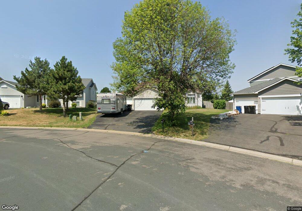
1838 Rochelle Curve Shakopee, MN 55379
Estimated Value: $414,000 - $500,000
3
Beds
2
Baths
1,987
Sq Ft
$231/Sq Ft
Est. Value
About This Home
This home is located at 1838 Rochelle Curve, Shakopee, MN 55379 and is currently estimated at $458,977, approximately $230 per square foot. 1838 Rochelle Curve is a home located in Scott County with nearby schools including Sun Path Elementary School, Shakopee West Middle School, and Shakopee Senior High School.
Ownership History
Date
Name
Owned For
Owner Type
Purchase Details
Closed on
Sep 6, 2012
Sold by
Howe Steven L and Howe Remedios R
Bought by
Howe Benjamin C
Current Estimated Value
Home Financials for this Owner
Home Financials are based on the most recent Mortgage that was taken out on this home.
Original Mortgage
$196,000
Outstanding Balance
$135,560
Interest Rate
3.56%
Mortgage Type
New Conventional
Estimated Equity
$323,417
Purchase Details
Closed on
Apr 26, 2001
Sold by
Laurent Builders Inc
Bought by
Howe Steven L
Create a Home Valuation Report for This Property
The Home Valuation Report is an in-depth analysis detailing your home's value as well as a comparison with similar homes in the area
Home Values in the Area
Average Home Value in this Area
Purchase History
| Date | Buyer | Sale Price | Title Company |
|---|---|---|---|
| Howe Benjamin C | $245,000 | Triad Title & Abstract Llc | |
| Howe Steven L | $230,000 | -- |
Source: Public Records
Mortgage History
| Date | Status | Borrower | Loan Amount |
|---|---|---|---|
| Open | Howe Benjamin C | $196,000 |
Source: Public Records
Tax History Compared to Growth
Tax History
| Year | Tax Paid | Tax Assessment Tax Assessment Total Assessment is a certain percentage of the fair market value that is determined by local assessors to be the total taxable value of land and additions on the property. | Land | Improvement |
|---|---|---|---|---|
| 2025 | $4,142 | $388,600 | $136,700 | $251,900 |
| 2024 | $3,740 | $392,300 | $136,700 | $255,600 |
| 2023 | $3,960 | $348,600 | $131,500 | $217,100 |
| 2022 | $3,548 | $362,600 | $149,400 | $213,200 |
| 2021 | $3,244 | $278,000 | $109,500 | $168,500 |
| 2020 | $3,546 | $277,000 | $105,000 | $172,000 |
| 2019 | $3,754 | $265,400 | $93,400 | $172,000 |
| 2018 | $4,150 | $0 | $0 | $0 |
| 2016 | $4,060 | $0 | $0 | $0 |
| 2014 | -- | $0 | $0 | $0 |
Source: Public Records
Map
Nearby Homes
- 1844 Mockingbird Ave Unit 1102
- 1820 Mockingbird Ave
- 1552 Dublin Ct
- 2471 Tyrone Dr
- 2052 Wilhelm Ct
- 2447 Tyrone Dr
- 2399 Tyrone Dr
- 1590 Countryside Dr Unit 5108
- 1022 Providence Dr
- 2263 Tyrone Dr
- 1511 England Way
- 2388 Vierling Dr E
- 862 Princeton Ave
- 849 Providence Dr
- 2006 Tyrone Dr
- 1624 Philipp Way
- Lewis Plan at Summerland Place - Landmark Collection
- 2795 Downing Ave
- Vanderbilt Plan at Summerland Place - Landmark Collection
- Sinclair Plan at Summerland Place - Landmark Collection
- 1848 Rochelle Curve
- 1828 Rochelle Curve
- 1818 Rochelle Curve
- 1858 Rochelle Curve
- 1867 Rochelle Curve
- 1868 Rochelle Curve
- 1808 Rochelle Curve
- 1853 French Trace Ave
- 1878 Rochelle Curve
- 1877 Rochelle Curve
- 1812 Mockingbird Ave
- 1824 Mockingbird Ave
- 1824 1824 Mockingbird Ave
- 1873 French Trace Ave
- 1888 Rochelle Curve
- 1860 Mockingbird Ave
- 1804 Mockingbird Ave Unit 1203
- 1820 1820 Mockingbird Ave
- 1897 Rochelle Curve
- 1840 Mockingbird Ave