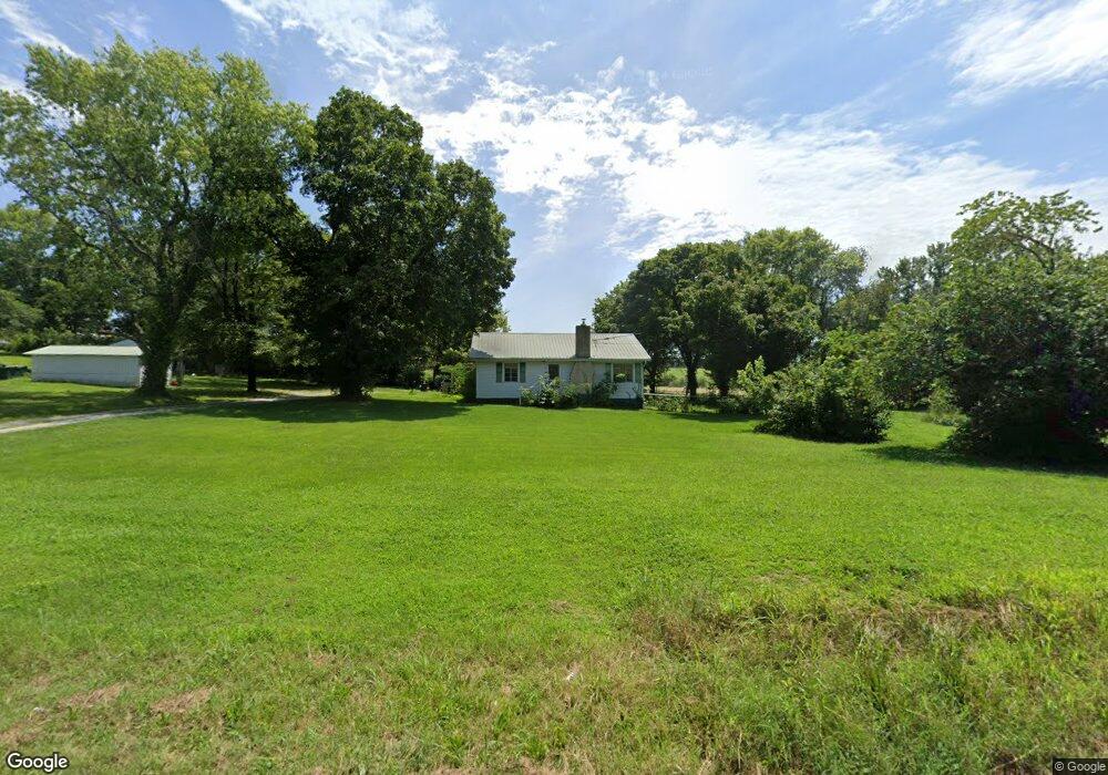
1838 State Route K West Plains, MO 65775
Estimated Value: $114,077 - $722,000
--
Bed
--
Bath
1,008
Sq Ft
$295/Sq Ft
Est. Value
About This Home
This home is located at 1838 State Route K, West Plains, MO 65775 and is currently estimated at $297,019, approximately $294 per square foot. 1838 State Route K is a home with nearby schools including Faith Assembly Christian School.
Ownership History
Date
Name
Owned For
Owner Type
Purchase Details
Closed on
May 10, 2006
Sold by
Mcgoldrick John L and Mcgoldrick Tina N
Bought by
White Ronald and White Judie
Current Estimated Value
Home Financials for this Owner
Home Financials are based on the most recent Mortgage that was taken out on this home.
Original Mortgage
$82,175
Outstanding Balance
$47,592
Interest Rate
6.4%
Mortgage Type
New Conventional
Estimated Equity
$249,427
Create a Home Valuation Report for This Property
The Home Valuation Report is an in-depth analysis detailing your home's value as well as a comparison with similar homes in the area
Home Values in the Area
Average Home Value in this Area
Purchase History
| Date | Buyer | Sale Price | Title Company |
|---|---|---|---|
| White Ronald | -- | None Available |
Source: Public Records
Mortgage History
| Date | Status | Borrower | Loan Amount |
|---|---|---|---|
| Open | White Ronald | $82,175 |
Source: Public Records
Tax History Compared to Growth
Tax History
| Year | Tax Paid | Tax Assessment Tax Assessment Total Assessment is a certain percentage of the fair market value that is determined by local assessors to be the total taxable value of land and additions on the property. | Land | Improvement |
|---|---|---|---|---|
| 2025 | $571 | $15,670 | $2,550 | $13,120 |
| 2024 | $565 | $13,990 | -- | -- |
| 2023 | $565 | $13,990 | $0 | $0 |
| 2022 | $536 | $13,280 | $0 | $0 |
| 2021 | $483 | $13,280 | $0 | $0 |
| 2020 | $483 | $11,980 | $0 | $0 |
| 2019 | $505 | $11,980 | $0 | $0 |
| 2018 | $482 | $11,410 | $0 | $0 |
| 2017 | $481 | $11,410 | $0 | $0 |
| 2015 | -- | $11,410 | $0 | $0 |
| 2014 | -- | $11,410 | $0 | $0 |
| 2013 | -- | $11,410 | $0 | $0 |
Source: Public Records
Map
Nearby Homes
- 2032 Wild Turkey Trail
- 2008 Wild Turkey Trail
- 000 Wild Turkey Trail Unit Block 1 Lot 13
- 000 Wild Turkey Trail Unit Block 1 Lot 10
- 000 Wild Turkey Trail Unit Block 1 Lot 2
- 000 Wild Turkey Trail Unit Block 1 Lot 1
- 000 Wild Turkey Trail Unit Block 1 Lot 18
- 000 Wild Turkey Trail Unit Block 1 Lot 6
- 000 Wild Turkey Trail Unit Block 1 Lot 5
- 000 Wild Turkey Trail Unit Block 1 Lot 4
- 000 Wild Turkey Trail Unit Block 1 Lot 3
- 000 Wild Turkey Trail Unit Block 1 Lot 17
- 000 Wild Turkey Trail Unit Block 1 Lot 9
- Lot 9 Wild Turkey Trail
- 2006 Big Deer
- Tbd
- Tbd Big Deer Run (Lot 20)
- 1911 Gobbler Ct
- 1907 Gobbler Ct
- 000 E State Route K
- 1835 State Route K
- 1840 State Route K
- 2024 E State Route K
- 602 E Pamela Dr
- 604 E Pamela Dr
- 2019 E State Route K
- 601 E Pamela Dr
- 606 E Pamela Dr
- 603 E Pamela Dr
- 702 E Pamela Dr
- 2055 E State Route K
- 2036 E State Route K
- 605 E Pamela Dr
- 602 Oak Park Blvd
- 604 Oak Park Blvd
- 704 E Pamela Dr
- 703 E Pamela Dr
- 606 Oak Park Blvd
- 706 E Pamela Dr
- 705 E Pamela Dr