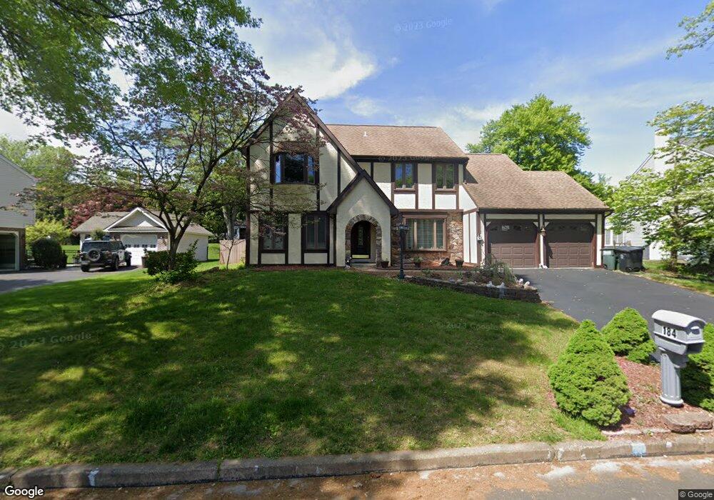
184 Forrest Dr Southampton, PA 18966
Estimated Value: $682,000 - $765,000
4
Beds
3
Baths
2,537
Sq Ft
$284/Sq Ft
Est. Value
About This Home
This home is located at 184 Forrest Dr, Southampton, PA 18966 and is currently estimated at $721,092, approximately $284 per square foot. 184 Forrest Dr is a home located in Bucks County with nearby schools including Hillcrest El School, Holland Middle School, and Council Rock High School - South.
Ownership History
Date
Name
Owned For
Owner Type
Purchase Details
Closed on
Feb 28, 1995
Sold by
Griffith Albert A and Link Esquire Richard D
Bought by
Teslyar Dmitry and Teslyar Rita
Current Estimated Value
Home Financials for this Owner
Home Financials are based on the most recent Mortgage that was taken out on this home.
Original Mortgage
$100,000
Interest Rate
8.96%
Purchase Details
Closed on
Oct 22, 1984
Bought by
Griffith Albert A
Create a Home Valuation Report for This Property
The Home Valuation Report is an in-depth analysis detailing your home's value as well as a comparison with similar homes in the area
Home Values in the Area
Average Home Value in this Area
Purchase History
| Date | Buyer | Sale Price | Title Company |
|---|---|---|---|
| Teslyar Dmitry | $190,000 | -- | |
| Griffith Albert A | $118,500 | -- |
Source: Public Records
Mortgage History
| Date | Status | Borrower | Loan Amount |
|---|---|---|---|
| Closed | Teslyar Dmitry | $100,000 |
Source: Public Records
Tax History Compared to Growth
Tax History
| Year | Tax Paid | Tax Assessment Tax Assessment Total Assessment is a certain percentage of the fair market value that is determined by local assessors to be the total taxable value of land and additions on the property. | Land | Improvement |
|---|---|---|---|---|
| 2025 | $7,327 | $38,040 | $6,880 | $31,160 |
| 2024 | $7,327 | $38,040 | $6,880 | $31,160 |
| 2023 | $6,905 | $38,040 | $6,880 | $31,160 |
| 2022 | $6,842 | $38,040 | $6,880 | $31,160 |
| 2021 | $6,626 | $38,040 | $6,880 | $31,160 |
| 2020 | $6,477 | $38,040 | $6,880 | $31,160 |
| 2019 | $6,199 | $38,040 | $6,880 | $31,160 |
| 2018 | $6,089 | $38,040 | $6,880 | $31,160 |
| 2017 | $5,854 | $38,040 | $6,880 | $31,160 |
| 2016 | $5,854 | $38,040 | $6,880 | $31,160 |
| 2015 | -- | $38,040 | $6,880 | $31,160 |
| 2014 | -- | $38,040 | $6,880 | $31,160 |
Source: Public Records
Map
Nearby Homes
- 41 Grant Dr
- 15 Penn Cir
- 100 E Holland Rd
- 6 Rolling Hills Dr
- 27 Rocking Horse Way
- 21019 Bennett Place Unit 7
- 302 Independence Dr
- 6 Windy Knoll Dr
- 24 Standing Tree Cir
- 151 Knox Ct
- 327 Hale Dr Unit 801A
- 178 Buckshire Dr
- 6 Springwood Place
- 139 Heather Valley Rd
- 52 Dalton Way
- 270 Rocksville Rd
- 131 Rocksville Rd
- 2010 Barry Ct Unit 743B
- 4 Providence Dr
- 4016 Barry Ct Unit 736B
- 182 Forrest Dr
- 1 Pine View Dr
- 180 Forrest Dr
- 183 Forrest Dr
- 223 E Holland Rd
- 185 Forrest Dr
- 181 Forrest Dr
- 187 Forrest Dr
- 11 Grant Dr
- 178 Forrest Dr
- 179 Forrest Dr
- 191 Forrest Dr
- 174 Evergreen Ct
- 23 Crestview Dr
- 195 Forrest Dr
- 21 Crestview Dr
- 188 Forrest Dr
- 27 Crestview Dr
- 172 Evergreen Ct
- 165 Forrest Dr