184 Mellish Rd Langdon, NH 03602
Estimated Value: $482,000 - $583,000
3
Beds
4
Baths
2,100
Sq Ft
$258/Sq Ft
Est. Value
About This Home
This home is located at 184 Mellish Rd, Langdon, NH 03602 and is currently estimated at $542,318, approximately $258 per square foot. 184 Mellish Rd is a home with nearby schools including Sarah Porter School, Vilas Elementary School, and Fall Mountain Regional High School.
Ownership History
Date
Name
Owned For
Owner Type
Purchase Details
Closed on
Jul 27, 2015
Sold by
Ferreira Michael A and Ferreira Sandra M
Bought by
Sandford 2Nd Paul T
Current Estimated Value
Purchase Details
Closed on
Apr 22, 2013
Sold by
Norm & Mike Excavating I
Bought by
Ferreira Michael A and Ferreira Sandra M
Purchase Details
Closed on
Aug 29, 2012
Sold by
Christie Kenneth P and Christie Linda L
Bought by
Ferreira Michael and Ferreira Sandra M
Create a Home Valuation Report for This Property
The Home Valuation Report is an in-depth analysis detailing your home's value as well as a comparison with similar homes in the area
Home Values in the Area
Average Home Value in this Area
Purchase History
| Date | Buyer | Sale Price | Title Company |
|---|---|---|---|
| Sandford 2Nd Paul T | $32,000 | -- | |
| Ferreira Michael A | $35,000 | -- | |
| Ferreira Michael | $57,500 | -- |
Source: Public Records
Tax History Compared to Growth
Tax History
| Year | Tax Paid | Tax Assessment Tax Assessment Total Assessment is a certain percentage of the fair market value that is determined by local assessors to be the total taxable value of land and additions on the property. | Land | Improvement |
|---|---|---|---|---|
| 2024 | $7,974 | $283,579 | $63,289 | $220,290 |
| 2023 | $6,273 | $283,697 | $63,407 | $220,290 |
| 2022 | $6,361 | $283,712 | $63,422 | $220,290 |
| 2021 | $6,211 | $283,716 | $63,426 | $220,290 |
| 2020 | $5,981 | $221,998 | $42,378 | $179,620 |
| 2019 | $6,172 | $222,016 | $42,396 | $179,620 |
| 2018 | $6,282 | $221,275 | $42,375 | $178,900 |
| 2017 | $3,402 | $109,261 | $38,361 | $70,900 |
| 2016 | $708 | $27,321 | $27,321 | $0 |
| 2015 | $860 | $32,336 | $32,336 | $0 |
| 2014 | $804 | $32,000 | $32,000 | $0 |
| 2013 | -- | $32,000 | $32,000 | $0 |
Source: Public Records
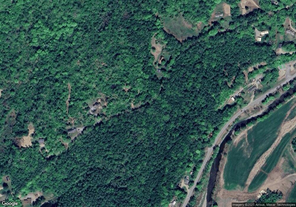
Map
Nearby Homes
- 00 Cold River Rd Unit 3014.0
- 100 River St
- 55 Sunset Cir
- 16 Vilas Rd
- 458 Cheshire Turnpike
- 20 Green Rd
- 29 Green Rd
- 31 Mountain View Rd
- 561 Main St
- 473 Pratt Rd
- 33 Dearborn Cir
- 36 Barker St
- 24 Rockingham St
- 88 Westminster St
- 9 Center St
- 9 Merchant St
- 24 South St
- 45 Church St
- 34 Williams St
- 19 Williams Terrace
- 178 Mellish Rd
- 166 Mellish Rd
- 128 Mellish Rd
- 00 Mellish Rd
- off Mellish Rd
- Lot 40-14 Mellish Rd
- 302 River St
- 207 Mellish Rd
- 271 River St
- 306 River St
- 110 Mellish Rd
- 363 River St
- 228 Route 123
- 95 Mellish Rd
- 276 River St
- Lot 30-04 Mellish Rd
- Lot 30-04 Mellish Rd Unit 30-04
- 0 Old Drewsville Rd Unit 130645
- 0 Old Drewsville Rd Unit 2789066
- 0 Old Drewsville Rd Unit 4799691