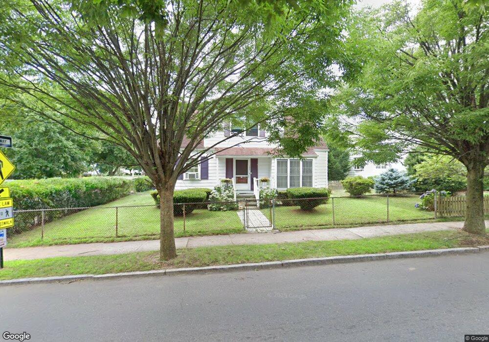
184 Mitchell Dr New Haven, CT 06511
East Rock NeighborhoodEstimated Value: $226,000 - $739,000
2
Beds
2
Baths
1,739
Sq Ft
$312/Sq Ft
Est. Value
About This Home
This home is located at 184 Mitchell Dr, New Haven, CT 06511 and is currently estimated at $542,627, approximately $312 per square foot. 184 Mitchell Dr is a home located in New Haven County with nearby schools including St. Thomas's Day School and The Foote School.
Ownership History
Date
Name
Owned For
Owner Type
Purchase Details
Closed on
Sep 12, 2007
Sold by
Mcneff John and Mcneff Nancy
Bought by
Mcneff Erin
Current Estimated Value
Home Financials for this Owner
Home Financials are based on the most recent Mortgage that was taken out on this home.
Original Mortgage
$98,000
Outstanding Balance
$62,459
Interest Rate
6.7%
Estimated Equity
$480,168
Create a Home Valuation Report for This Property
The Home Valuation Report is an in-depth analysis detailing your home's value as well as a comparison with similar homes in the area
Home Values in the Area
Average Home Value in this Area
Purchase History
| Date | Buyer | Sale Price | Title Company |
|---|---|---|---|
| Mcneff Erin | $120,000 | -- |
Source: Public Records
Mortgage History
| Date | Status | Borrower | Loan Amount |
|---|---|---|---|
| Open | Mcneff Erin | $50,000 | |
| Open | Mcneff Erin | $98,000 |
Source: Public Records
Tax History
| Year | Tax Paid | Tax Assessment Tax Assessment Total Assessment is a certain percentage of the fair market value that is determined by local assessors to be the total taxable value of land and additions on the property. | Land | Improvement |
|---|---|---|---|---|
| 2025 | $9,940 | $252,280 | $133,210 | $119,070 |
| 2024 | $9,713 | $252,280 | $133,210 | $119,070 |
| 2023 | $9,385 | $252,280 | $133,210 | $119,070 |
| 2022 | $10,028 | $252,280 | $133,210 | $119,070 |
| 2021 | $8,306 | $189,280 | $102,340 | $86,940 |
| 2020 | $8,306 | $189,280 | $102,340 | $86,940 |
| 2019 | $8,135 | $189,280 | $102,340 | $86,940 |
| 2018 | $7,819 | $181,930 | $102,340 | $79,590 |
| 2017 | $7,037 | $181,930 | $102,340 | $79,590 |
| 2016 | $7,865 | $189,280 | $112,350 | $76,930 |
| 2015 | $7,865 | $189,280 | $112,350 | $76,930 |
| 2014 | $7,865 | $189,280 | $112,350 | $76,930 |
Source: Public Records
Map
Nearby Homes
- 64 Cold Spring St
- 53 Canner St Unit 4
- 74 Cold Spring St
- 317 Willow St
- 562 Whitney Ave
- 130 Cottage St
- 76 Ridge St
- 81 Edwards St
- 20 Nash St
- 76 Rock St
- 245 Edwards St
- 15 Edgehill Rd
- 158 Cedar Hill Ave
- 16 Edwards St
- 53 Park Rd
- 63 Park Rd
- 1380 State St
- 291 Humphrey St Unit 3
- 500 Prospect St Unit 1E
- 55 Walnut St Unit 8
- 192 Mitchell Dr
- 172 Mitchell Dr
- 200 Mitchell Dr
- 68 Anderson St Unit B
- 68 Anderson St Unit C
- 68 Anderson St Unit A
- 79 Anderson St
- 869 Orange St Unit 1E
- 869 Orange St Unit 10W
- 869 Orange St Unit 9W
- 869 Orange St Unit 8W
- 869 Orange St Unit 7W
- 869 Orange St Unit 6W
- 869 Orange St Unit 5W
- 869 Orange St Unit 4W
- 869 Orange St Unit 3W
- 869 Orange St Unit 2W
- 869 Orange St Unit 1W
- 869 Orange St Unit 10E
- 869 Orange St Unit 9E
Your Personal Tour Guide
Ask me questions while you tour the home.