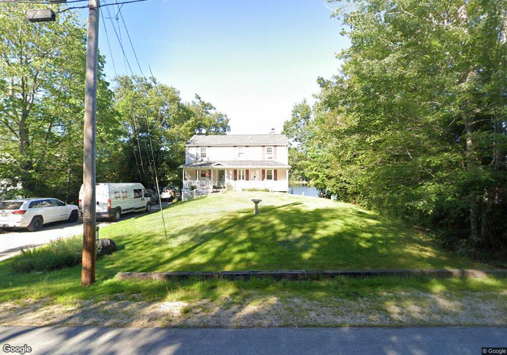
184 Varney Rd Center Barnstead, NH 03225
Estimated Value: $517,000 - $702,208
2
Beds
3
Baths
2,011
Sq Ft
$316/Sq Ft
Est. Value
About This Home
This home is located at 184 Varney Rd, Center Barnstead, NH 03225 and is currently estimated at $636,052, approximately $316 per square foot. 184 Varney Rd is a home with nearby schools including Barnstead Elementary School and Prospect Mountain High School.
Ownership History
Date
Name
Owned For
Owner Type
Purchase Details
Closed on
Apr 4, 2022
Sold by
Michaud Elizabeth A
Bought by
Bethal Builders Llc
Current Estimated Value
Purchase Details
Closed on
Jun 29, 2005
Sold by
Lorandeau Ernest J
Bought by
Cusson Maurice J and Cusson Loia
Home Financials for this Owner
Home Financials are based on the most recent Mortgage that was taken out on this home.
Original Mortgage
$278,910
Interest Rate
5.73%
Create a Home Valuation Report for This Property
The Home Valuation Report is an in-depth analysis detailing your home's value as well as a comparison with similar homes in the area
Home Values in the Area
Average Home Value in this Area
Purchase History
| Date | Buyer | Sale Price | Title Company |
|---|---|---|---|
| Bethal Builders Llc | $67,533 | None Available | |
| Bethal Builders Llc | $67,533 | None Available | |
| Cusson Maurice J | $309,900 | -- |
Source: Public Records
Mortgage History
| Date | Status | Borrower | Loan Amount |
|---|---|---|---|
| Previous Owner | Cusson Maurice J | $278,910 |
Source: Public Records
Tax History Compared to Growth
Tax History
| Year | Tax Paid | Tax Assessment Tax Assessment Total Assessment is a certain percentage of the fair market value that is determined by local assessors to be the total taxable value of land and additions on the property. | Land | Improvement |
|---|---|---|---|---|
| 2024 | $10,327 | $633,200 | $329,900 | $303,300 |
| 2023 | $9,086 | $633,200 | $329,900 | $303,300 |
| 2022 | $7,018 | $324,900 | $121,200 | $203,700 |
| 2021 | $7,135 | $324,900 | $121,200 | $203,700 |
| 2020 | $7,757 | $335,800 | $121,200 | $214,600 |
| 2019 | $7,666 | $335,800 | $121,200 | $214,600 |
| 2018 | $7,472 | $335,800 | $121,200 | $214,600 |
| 2017 | $7,526 | $260,400 | $121,400 | $139,000 |
| 2016 | $7,096 | $260,400 | $121,400 | $139,000 |
| 2015 | $7,070 | $260,400 | $121,400 | $139,000 |
| 2014 | $6,900 | $288,000 | $139,400 | $148,600 |
| 2013 | $6,768 | $288,000 | $139,400 | $148,600 |
Source: Public Records
Map
Nearby Homes
- 248 Varney Rd
- 0 Corner North Shore Dr Unit 446 5054482
- 7 Brenton Ln
- 28 Dalton Dr
- O N Shore Dr
- 21 Shelburne Ln
- 8 Brookwood Dr
- 0 Crescent Dr Unit 5026960
- 9 Nutter Cir
- 96 Damsite Rd
- 24 Danbury Rd
- 0 Andover Dr Unit 106 5059711
- 17 Prospect Mountain Rd
- 956 N Barnstead Rd
- Lot 33 Ridge Rd
- 25 Vail Rd
- 16 Ridge Rd
- 418 Narrows Rd
- 77 Vail Rd
- M10 L26-3 Valley Dam Rd
- 180 Varney Rd
- 188 Varney Rd
- 0 Varney Rd Unit 2750684
- 176 Varney Rd
- Lot 242 Varney Rd
- 181 Varney Rd
- 189 Varney Rd
- 175 Varney Rd
- 191 Varney Rd
- 172 Varney Rd
- 198 Varney Rd
- 169 Varney Rd
- 202 Varney Rd
- 8 Westchester Park
- 10 Westchester Park
- 168 Varney Rd
- 58 Winchester Dr
- 14 Westchester Park
- 206 Varney Rd
- 0 Westchester Park