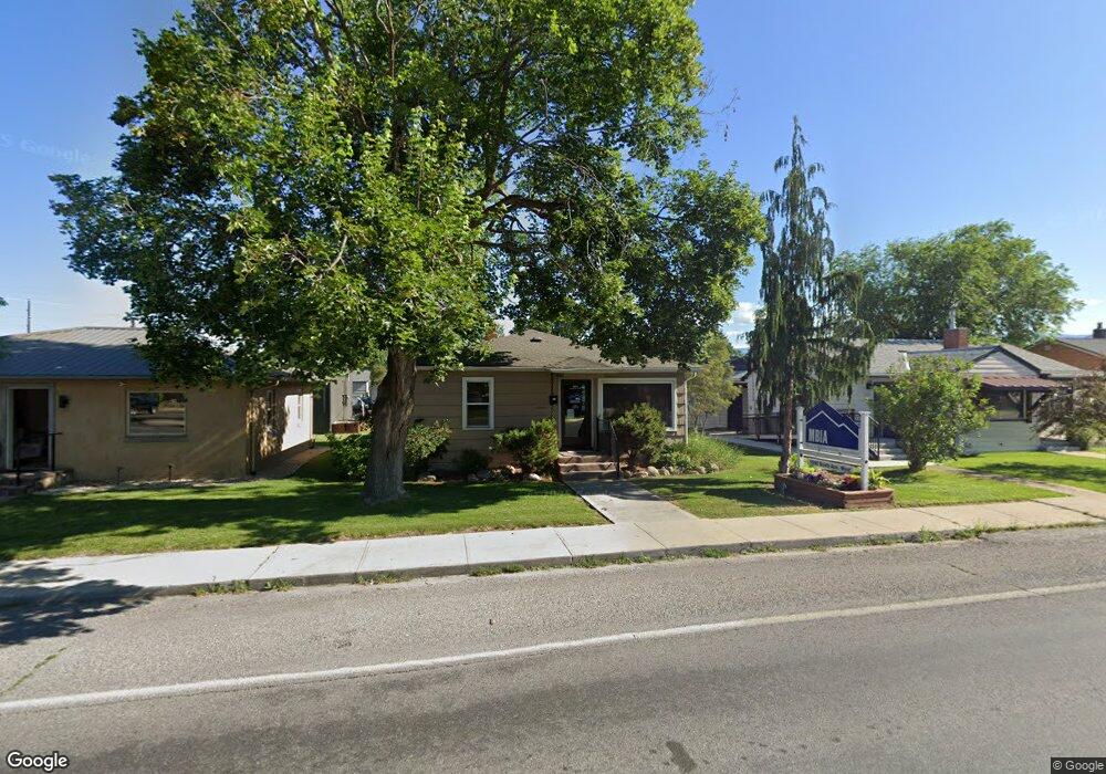
1840 South Ave W Missoula, MT 59801
Lower Rattlesnake NeighborhoodEstimated Value: $565,699
2
Beds
1
Bath
920
Sq Ft
$615/Sq Ft
Est. Value
About This Home
This home is located at 1840 South Ave W, Missoula, MT 59801 and is currently estimated at $565,699, approximately $614 per square foot. 1840 South Ave W is a home located in Missoula County with nearby schools including Rattlesnake Elementary School, Washington Middle School, and Hellgate High School.
Ownership History
Date
Name
Owned For
Owner Type
Purchase Details
Closed on
Mar 31, 2005
Sold by
Pulliam Timothy J and Pulliam Deaydre L
Bought by
Missoula Bldg Industry Assn Inc
Current Estimated Value
Home Financials for this Owner
Home Financials are based on the most recent Mortgage that was taken out on this home.
Original Mortgage
$155,192
Outstanding Balance
$79,148
Interest Rate
5.6%
Mortgage Type
Commercial
Estimated Equity
$486,551
Purchase Details
Closed on
Oct 12, 2001
Sold by
Startin Lynn Ellen
Bought by
Pulliam Timothy J and Pulliam Deaydre L
Home Financials for this Owner
Home Financials are based on the most recent Mortgage that was taken out on this home.
Original Mortgage
$68,250
Interest Rate
6.91%
Mortgage Type
Commercial
Create a Home Valuation Report for This Property
The Home Valuation Report is an in-depth analysis detailing your home's value as well as a comparison with similar homes in the area
Home Values in the Area
Average Home Value in this Area
Purchase History
| Date | Buyer | Sale Price | Title Company |
|---|---|---|---|
| Missoula Bldg Industry Assn Inc | -- | First American Title Co | |
| Pulliam Timothy J | -- | Title Services Inc |
Source: Public Records
Mortgage History
| Date | Status | Borrower | Loan Amount |
|---|---|---|---|
| Open | Missoula Bldg Industry Assn Inc | $155,192 | |
| Previous Owner | Pulliam Timothy J | $68,250 |
Source: Public Records
Tax History Compared to Growth
Tax History
| Year | Tax Paid | Tax Assessment Tax Assessment Total Assessment is a certain percentage of the fair market value that is determined by local assessors to be the total taxable value of land and additions on the property. | Land | Improvement |
|---|---|---|---|---|
| 2025 | $8,506 | $564,200 | $556,200 | $8,000 |
| 2024 | $8,120 | $476,600 | $352,200 | $124,400 |
| 2023 | $7,868 | $476,600 | $352,200 | $124,400 |
| 2022 | $6,204 | $325,500 | $0 | $0 |
| 2021 | $5,536 | $325,500 | $0 | $0 |
| 2020 | $5,386 | $291,570 | $0 | $0 |
| 2019 | $5,368 | $291,570 | $0 | $0 |
| 2018 | $4,406 | $232,300 | $0 | $0 |
| 2017 | $4,333 | $232,300 | $0 | $0 |
| 2016 | $3,748 | $209,600 | $0 | $0 |
| 2015 | $3,469 | $209,600 | $0 | $0 |
| 2014 | $3,532 | $168,349 | $0 | $0 |
Source: Public Records
Map
Nearby Homes
- 2215 Raymond Ave
- 1227 Basecamp Dr Unit A
- 1250 Basecamp Dr Unit F
- 1250 Basecamp Dr Unit C
- 2201 Greenough Ct W
- 1811 Elison Ln
- 2411 Raymond Ave
- 1132 Jackson St
- 838 Locust St
- 2606 Sycamore St
- 521 Arbor Dr
- 1116 Vine St
- 1110 Vine St
- 111 N 2nd St W
- 416 E Pine St
- 1306 Lily Ct
- 1625 Sunflower Dr
- 1025 Grand Ave Unit 4
- 18 Brookside Way
- 1655 Sunflower Dr
- 1840 Missoula Ave
- 1844 Missoula Ave
- 1820 Missoula Ave
- 1843 Rattlesnake Dr
- 1841 Rattlesnake Dr
- 1845 Rattlesnake Dr
- 1855 Missoula Ave
- 1849 Missoula Ave
- 1835 Rattlesnake Dr
- 1807 Missoula Ave
- 1875 Missoula Ave
- 1902 Missoula Ave
- 1802 Missoula Ave
- 1901 Missoula Ave
- 950 Richard St
- 1901 Missoula Ave
- 1907 Missoula Ave
- 1833 Rattlesnake Dr
- 1803 Missoula Ave
- 1803 Missoula Ave