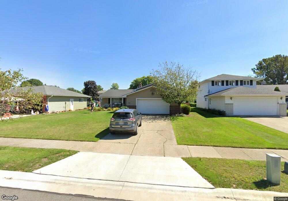
1841 Beham Dr Cleveland, OH 44124
Estimated Value: $302,000 - $350,000
3
Beds
2
Baths
1,940
Sq Ft
$166/Sq Ft
Est. Value
About This Home
This home is located at 1841 Beham Dr, Cleveland, OH 44124 and is currently estimated at $321,613, approximately $165 per square foot. 1841 Beham Dr is a home located in Cuyahoga County with nearby schools including Mayfield High School, Corpus Christi Academy, and Gilmour Academy.
Ownership History
Date
Name
Owned For
Owner Type
Purchase Details
Closed on
May 25, 2000
Sold by
Josephine Woosley
Bought by
Prayner Andrew J
Current Estimated Value
Home Financials for this Owner
Home Financials are based on the most recent Mortgage that was taken out on this home.
Original Mortgage
$123,000
Outstanding Balance
$42,493
Interest Rate
8.14%
Estimated Equity
$279,120
Purchase Details
Closed on
Nov 13, 1986
Sold by
Collura James J and Collura Rose B
Bought by
Colluira Rosalie B
Purchase Details
Closed on
Jan 1, 1975
Bought by
Collura James J and Collura Rose B
Create a Home Valuation Report for This Property
The Home Valuation Report is an in-depth analysis detailing your home's value as well as a comparison with similar homes in the area
Home Values in the Area
Average Home Value in this Area
Purchase History
| Date | Buyer | Sale Price | Title Company |
|---|---|---|---|
| Prayner Andrew J | $165,000 | Progressive Land Title | |
| Colluira Rosalie B | -- | -- | |
| Collura James J | -- | -- |
Source: Public Records
Mortgage History
| Date | Status | Borrower | Loan Amount |
|---|---|---|---|
| Open | Prayner Andrew J | $123,000 |
Source: Public Records
Tax History Compared to Growth
Tax History
| Year | Tax Paid | Tax Assessment Tax Assessment Total Assessment is a certain percentage of the fair market value that is determined by local assessors to be the total taxable value of land and additions on the property. | Land | Improvement |
|---|---|---|---|---|
| 2024 | $6,524 | $100,275 | $17,010 | $83,265 |
| 2023 | $5,224 | $73,470 | $17,610 | $55,860 |
| 2022 | $5,349 | $73,470 | $17,610 | $55,860 |
| 2021 | $5,293 | $73,470 | $17,610 | $55,860 |
| 2020 | $4,937 | $62,790 | $15,050 | $47,740 |
| 2019 | $4,783 | $179,400 | $43,000 | $136,400 |
| 2018 | $4,756 | $62,790 | $15,050 | $47,740 |
| 2017 | $4,659 | $57,510 | $13,130 | $44,380 |
| 2016 | $4,623 | $57,510 | $13,130 | $44,380 |
| 2015 | $4,271 | $57,510 | $13,130 | $44,380 |
| 2014 | $4,271 | $57,510 | $13,130 | $44,380 |
Source: Public Records
Map
Nearby Homes
- 5831 Alberta Dr
- 1737 Mayfair Blvd
- 1722 Hawthorne Dr
- 1839 Caronia Dr
- 5960 Cantwell Dr
- 1763 Temple Ave
- 1856 Bremerton Rd
- 5688 Shawnee Dr
- 1857 Brainard Rd
- 1775 Brainard Rd
- 5824 Tiffany Ct Unit 5824
- 5814 Tiffany Ct
- 1590 Longwood Dr
- 5931 Mayberry Ave
- 1574 Hawthorne Dr
- 6132 Westerham Rd
- 1575 Lander Rd
- 2237 Glouchester Dr
- 5560 Lansbury Ln
- S/L 1 Bridgeport Way