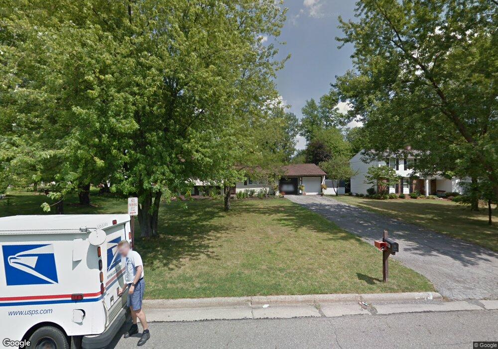
1841 Birch Trace Dr Youngstown, OH 44515
Austintown NeighborhoodEstimated Value: $222,687 - $247,000
2
Beds
2
Baths
1,520
Sq Ft
$154/Sq Ft
Est. Value
About This Home
This home is located at 1841 Birch Trace Dr, Youngstown, OH 44515 and is currently estimated at $233,422, approximately $153 per square foot. 1841 Birch Trace Dr is a home located in Mahoning County with nearby schools including Austintown Elementary School, Austintown Intermediate School, and Austintown Middle School.
Ownership History
Date
Name
Owned For
Owner Type
Purchase Details
Closed on
Dec 6, 2009
Sold by
First Place Bank
Bought by
Jakubec Allison M
Current Estimated Value
Home Financials for this Owner
Home Financials are based on the most recent Mortgage that was taken out on this home.
Original Mortgage
$70,695
Outstanding Balance
$45,999
Interest Rate
5.25%
Mortgage Type
FHA
Estimated Equity
$187,423
Purchase Details
Closed on
Nov 18, 2009
Sold by
R Lucente & Sons Construction
Bought by
First Place Bank
Home Financials for this Owner
Home Financials are based on the most recent Mortgage that was taken out on this home.
Original Mortgage
$70,695
Outstanding Balance
$45,999
Interest Rate
5.25%
Mortgage Type
FHA
Estimated Equity
$187,423
Purchase Details
Closed on
Jun 21, 1994
Bought by
Schneider Charles R
Create a Home Valuation Report for This Property
The Home Valuation Report is an in-depth analysis detailing your home's value as well as a comparison with similar homes in the area
Home Values in the Area
Average Home Value in this Area
Purchase History
| Date | Buyer | Sale Price | Title Company |
|---|---|---|---|
| Jakubec Allison M | $72,000 | Attorney | |
| First Place Bank | $58,000 | None Available | |
| Schneider Charles R | $82,500 | -- |
Source: Public Records
Mortgage History
| Date | Status | Borrower | Loan Amount |
|---|---|---|---|
| Open | Jakubec Allison M | $70,695 |
Source: Public Records
Tax History
| Year | Tax Paid | Tax Assessment Tax Assessment Total Assessment is a certain percentage of the fair market value that is determined by local assessors to be the total taxable value of land and additions on the property. | Land | Improvement |
|---|---|---|---|---|
| 2025 | $2,996 | $62,080 | $8,040 | $54,040 |
| 2024 | $2,861 | $62,080 | $8,040 | $54,040 |
| 2023 | $2,812 | $62,080 | $8,040 | $54,040 |
| 2022 | $2,148 | $38,000 | $7,340 | $30,660 |
| 2021 | $2,150 | $38,000 | $7,340 | $30,660 |
| 2020 | $2,157 | $38,000 | $7,340 | $30,660 |
| 2019 | $2,146 | $34,240 | $6,610 | $27,630 |
| 2018 | $2,064 | $34,240 | $6,610 | $27,630 |
| 2017 | $2,050 | $34,240 | $6,610 | $27,630 |
| 2016 | $1,891 | $31,250 | $6,610 | $24,640 |
| 2015 | $1,834 | $31,250 | $6,610 | $24,640 |
| 2014 | $1,842 | $31,250 | $6,610 | $24,640 |
| 2013 | $1,821 | $31,250 | $6,610 | $24,640 |
Source: Public Records
Map
Nearby Homes
- 2063 Woodland Trace
- 4829 New Rd
- 1707 Westhampton Dr
- 4656 Pinegrove Ave
- 2351 Birch Trace Dr
- 2257 Breezewood Dr
- 325 S Inglewood Ave
- 1540 Pimlico Dr
- 4888 Shadow Oak Dr
- 4876 Shadow Oak Dr
- 4828 Shadow Oak Dr
- 2612 Frostwood Dr
- 5365 Oakcrest Ave
- 285 Aldrich Rd
- 4614 Deopham Green Dr
- 238 Aldrich Rd
- 5109 W Elmwood Ave
- 3313 Starwick Dr
- 0 Collingwood Place
- 148 Marcia Dr
- 1871 Birch Trace Dr
- 1801 Birch Trace Dr
- 1846 Woodland Trace
- 1870 Woodland Trace
- 1822 Woodland Trace
- 1901 Birch Trace Dr
- 1761 Penny Ln
- 1894 Woodland Trace
- 1840 Birch Trace Dr
- 1870 Birch Trace Dr
- 1798 Woodland Trace
- 1810 Birch Trace Dr
- 1918 Woodland Trace
- 1900 Birch Trace Dr
- 1921 Birch Trace Dr
- 1774 Woodland Trace St
- 1774 Woodland Trace
- 1762 Penny Ln
- 1920 Birch Trace Dr
- 1942 Woodland Trace
Your Personal Tour Guide
Ask me questions while you tour the home.