1844 Franklin Rd West Point, IA 52656
Estimated Value: $222,000 - $353,000
4
Beds
2
Baths
2,692
Sq Ft
$110/Sq Ft
Est. Value
About This Home
This home is located at 1844 Franklin Rd, West Point, IA 52656 and is currently estimated at $296,000, approximately $109 per square foot. 1844 Franklin Rd is a home located in Lee County with nearby schools including Fort Madison High School, Holy Trinity Catholic Elementary, and Holy Trinity Elementary.
Ownership History
Date
Name
Owned For
Owner Type
Purchase Details
Closed on
Feb 13, 2009
Sold by
Kieler Maureen C and Kieler Agnes L
Bought by
Fraise Justin A
Current Estimated Value
Home Financials for this Owner
Home Financials are based on the most recent Mortgage that was taken out on this home.
Original Mortgage
$873,000
Outstanding Balance
$553,021
Interest Rate
5.14%
Mortgage Type
Credit Line Revolving
Estimated Equity
-$257,021
Purchase Details
Closed on
Nov 25, 2008
Sold by
Kieler Maureen C and Koellner Agnes L
Bought by
Fraise Mark A and Fraise Shaun M
Home Financials for this Owner
Home Financials are based on the most recent Mortgage that was taken out on this home.
Original Mortgage
$228,668
Interest Rate
5.14%
Mortgage Type
Credit Line Revolving
Create a Home Valuation Report for This Property
The Home Valuation Report is an in-depth analysis detailing your home's value as well as a comparison with similar homes in the area
Home Values in the Area
Average Home Value in this Area
Purchase History
| Date | Buyer | Sale Price | Title Company |
|---|---|---|---|
| Fraise Justin A | $166,032 | None Available | |
| Fraise Mark A | $256,548 | None Available |
Source: Public Records
Mortgage History
| Date | Status | Borrower | Loan Amount |
|---|---|---|---|
| Open | Fraise Justin A | $873,000 | |
| Previous Owner | Fraise Mark A | $228,668 |
Source: Public Records
Tax History Compared to Growth
Tax History
| Year | Tax Paid | Tax Assessment Tax Assessment Total Assessment is a certain percentage of the fair market value that is determined by local assessors to be the total taxable value of land and additions on the property. | Land | Improvement |
|---|---|---|---|---|
| 2025 | $2,082 | $217,380 | $7,780 | $209,600 |
| 2024 | $2,082 | $178,110 | $6,260 | $171,850 |
| 2023 | $2,020 | $178,110 | $6,260 | $171,850 |
| 2022 | $1,726 | $134,750 | $4,770 | $129,980 |
| 2021 | $1,726 | $134,750 | $4,770 | $129,980 |
| 2020 | $1,732 | $127,480 | $4,500 | $122,980 |
| 2019 | $1,664 | $127,480 | $4,500 | $122,980 |
| 2018 | $1,734 | $124,540 | $0 | $0 |
| 2017 | $1,672 | $120,200 | $0 | $0 |
| 2016 | $1,500 | $115,490 | $0 | $0 |
| 2015 | $1,500 | $121,270 | $0 | $0 |
| 2014 | $1,522 | $121,270 | $0 | $0 |
Source: Public Records
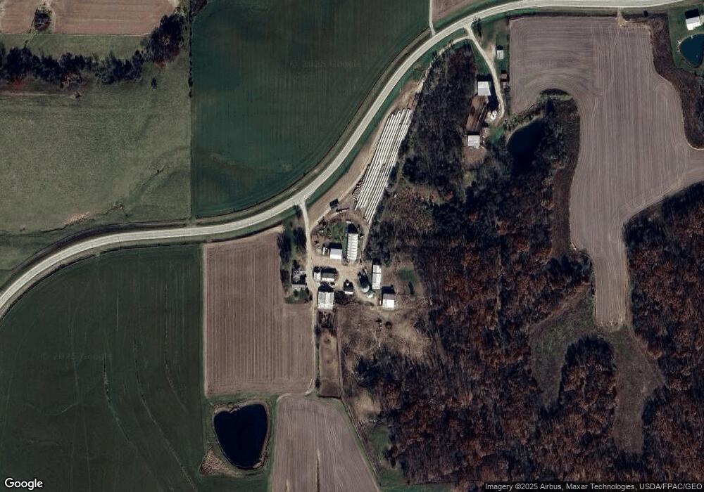
Map
Nearby Homes
- 2257 Burt Rd
- 2280 Windmill Way
- 306 Franklin 5th St
- 53 5th St
- 819 Park St
- 808 Park St
- 603 Fruit St
- 221 Chestnut St
- 2229 235th St
- 1794 150th St
- 00 180th St
- 808 Pershing St
- 720 Pershing St
- 2042 St Paul 2nd St
- 807 Chestnut St
- 2329 263rd Ave
- 0 Blues Highway & Bluff Rd
- 6119 Reve Ct
- 4991 Bluff Rd
- 4601 River Bend Sub Lot 4