Estimated Value: $531,000 - $934,000
4
Beds
2
Baths
3,079
Sq Ft
$259/Sq Ft
Est. Value
About This Home
This home is located at 1844 W Highway 12, Lodi, CA 95242 and is currently estimated at $796,003, approximately $258 per square foot. 1844 W Highway 12 is a home located in San Joaquin County with nearby schools including Ellerth E. Larson Elementary School, Lodi Middle School, and Tokay High School.
Ownership History
Date
Name
Owned For
Owner Type
Purchase Details
Closed on
Oct 26, 2020
Sold by
Moore Loren W and Moore Lisa M
Bought by
Moore Loren W and Moore Lisa M
Current Estimated Value
Home Financials for this Owner
Home Financials are based on the most recent Mortgage that was taken out on this home.
Original Mortgage
$504,000
Interest Rate
2.8%
Mortgage Type
New Conventional
Purchase Details
Closed on
Nov 1, 2016
Sold by
Moore Loren W and Moore Lisam
Bought by
The Loren & Lisa Moore Family Trust
Purchase Details
Closed on
Aug 9, 2007
Sold by
Moore Loren W
Bought by
Moore Loren W and Moore Lisa M
Home Financials for this Owner
Home Financials are based on the most recent Mortgage that was taken out on this home.
Original Mortgage
$700,000
Interest Rate
6.5%
Mortgage Type
New Conventional
Purchase Details
Closed on
Jun 23, 2005
Sold by
Moore Loren W
Bought by
Moore Loren W
Home Financials for this Owner
Home Financials are based on the most recent Mortgage that was taken out on this home.
Original Mortgage
$675,000
Interest Rate
6.99%
Mortgage Type
Unknown
Purchase Details
Closed on
Oct 28, 2004
Sold by
Moore Michelle R
Bought by
Moore Loren W
Home Financials for this Owner
Home Financials are based on the most recent Mortgage that was taken out on this home.
Original Mortgage
$540,000
Interest Rate
6.75%
Mortgage Type
New Conventional
Purchase Details
Closed on
Nov 11, 2003
Sold by
Moore Loren W
Bought by
Moore Loren W and Moore Michelle R
Home Financials for this Owner
Home Financials are based on the most recent Mortgage that was taken out on this home.
Original Mortgage
$425,000
Interest Rate
8.5%
Mortgage Type
Unknown
Purchase Details
Closed on
Aug 27, 2002
Sold by
Moore Loren W and Moore Michelle Renee
Bought by
Moore Loren W
Home Financials for this Owner
Home Financials are based on the most recent Mortgage that was taken out on this home.
Original Mortgage
$324,000
Interest Rate
6.29%
Create a Home Valuation Report for This Property
The Home Valuation Report is an in-depth analysis detailing your home's value as well as a comparison with similar homes in the area
Home Values in the Area
Average Home Value in this Area
Purchase History
| Date | Buyer | Sale Price | Title Company |
|---|---|---|---|
| Moore Loren W | -- | First American Title Company | |
| Moore Loren W | -- | First American Title Company | |
| The Loren & Lisa Moore Family Trust | -- | None Available | |
| Moore Loren W | -- | Placer Title Company | |
| Moore Loren W | -- | Commonwealth Title Co | |
| Moore Loren W | -- | Fidelity Natl Title Ins Co | |
| Moore Loren W | -- | Alliance Title Co | |
| Moore Loren W | -- | Alliance Title Company | |
| Moore Loren W | -- | Alliance Title Co |
Source: Public Records
Mortgage History
| Date | Status | Borrower | Loan Amount |
|---|---|---|---|
| Closed | Moore Loren W | $504,000 | |
| Closed | Moore Loren W | $700,000 | |
| Closed | Moore Loren W | $675,000 | |
| Closed | Moore Loren W | $540,000 | |
| Closed | Moore Loren W | $425,000 | |
| Closed | Moore Loren W | $324,000 |
Source: Public Records
Tax History Compared to Growth
Tax History
| Year | Tax Paid | Tax Assessment Tax Assessment Total Assessment is a certain percentage of the fair market value that is determined by local assessors to be the total taxable value of land and additions on the property. | Land | Improvement |
|---|---|---|---|---|
| 2025 | $4,458 | $375,505 | $25,266 | $350,239 |
| 2024 | $4,347 | $368,144 | $24,771 | $343,373 |
| 2023 | $4,301 | $360,926 | $24,286 | $336,640 |
| 2022 | $4,214 | $353,851 | $23,810 | $330,041 |
| 2021 | $4,280 | $346,913 | $23,344 | $323,569 |
| 2020 | $3,744 | $343,358 | $23,105 | $320,253 |
| 2019 | $3,667 | $336,626 | $22,652 | $313,974 |
| 2018 | $3,615 | $330,026 | $22,208 | $307,818 |
| 2017 | $3,533 | $323,554 | $21,773 | $301,781 |
| 2016 | $3,311 | $317,209 | $21,345 | $295,864 |
| 2014 | $3,232 | $306,328 | $20,614 | $285,714 |
Source: Public Records
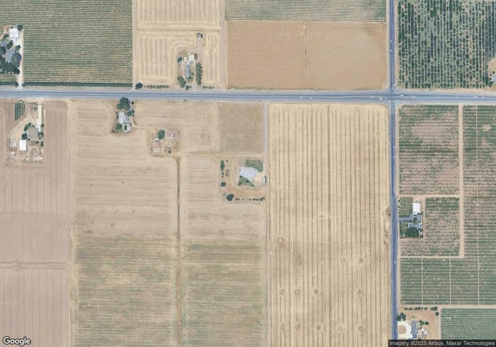
Map
Nearby Homes
- 21759 N Davis Rd
- 23181 Devries Rd
- 15840 Devries Rd Unit 15740
- 481 W Highway 12
- 68 Taylor Rd
- 209 E Highway 12
- 2967 Fuchsia Dr
- 291 E Highway 12
- 2830 Mcintosh Dr
- 2826 Cameo St
- 2911 Zinnia Way
- 4175 W Sargent Rd
- 14275 N Neeley Rd
- 2933 Coronado Dr
- 2891 Wisteria Dr
- 2892 Cammie Ln
- 2926 La Jolla Way
- 2921 Coronado Dr
- The Poppy Plan at Rose Gate - Chelsea Collection
- The Poplar II Plan at Rose Gate - Carrousel Collection
- 1851 W Highway 12
- 1990 W Highway 12
- 14770 N Davis Rd
- 2100 W Highway 12
- 14602 N Davis Rd
- 1790 Larson Rd
- 15279 N Davis Rd
- 2201 W Highway 12
- 1230 W Highway 12
- 14472 N Davis Rd
- 14401 N Davis Rd
- 1311 W Highway 12
- 2313 W Highway 12
- 14343 N Davis Rd
- 14330 N Davis Rd
- 2315 W Highway 12
- 1675 Larson Rd
- 1617 Larson Rd
- 15521 N Davis Rd
- 14215 N Davis Rd