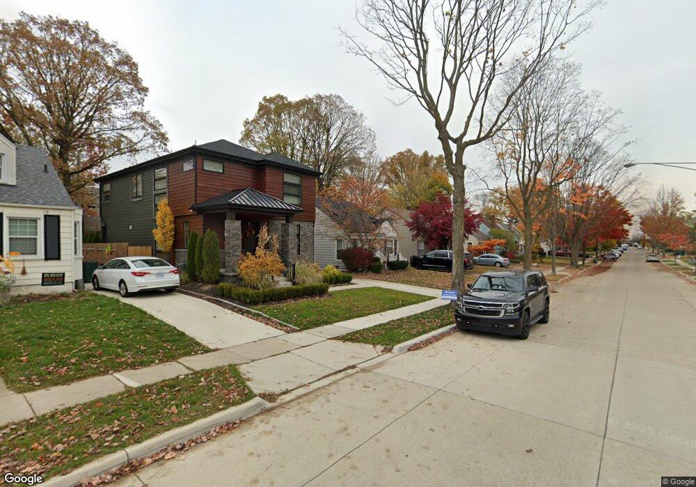
1847 Cole St Unit Bldg-Unit Birmingham, MI 48009
Estimated Value: $449,827 - $495,000
3
Beds
2
Baths
1,230
Sq Ft
$388/Sq Ft
Est. Value
About This Home
This home is located at 1847 Cole St Unit Bldg-Unit, Birmingham, MI 48009 and is currently estimated at $477,207, approximately $387 per square foot. 1847 Cole St Unit Bldg-Unit is a home located in Oakland County with nearby schools including Pembroke Elementary School, Derby Middle School, and Ernest W. Seaholm High School.
Ownership History
Date
Name
Owned For
Owner Type
Purchase Details
Closed on
May 23, 2025
Sold by
Trg Bp Llc
Bought by
Bonilla Lauren and Petredean Thomas
Current Estimated Value
Home Financials for this Owner
Home Financials are based on the most recent Mortgage that was taken out on this home.
Original Mortgage
$331,800
Outstanding Balance
$329,770
Interest Rate
6.76%
Mortgage Type
New Conventional
Estimated Equity
$147,437
Purchase Details
Closed on
Mar 22, 2016
Sold by
Trg Bp Llc
Bought by
Reinhart Karen
Home Financials for this Owner
Home Financials are based on the most recent Mortgage that was taken out on this home.
Original Mortgage
$214,500
Interest Rate
3.62%
Mortgage Type
New Conventional
Purchase Details
Closed on
Sep 26, 2012
Sold by
Manninen Kurt and Chrovian Christa C
Bought by
Trg Bp Llc
Purchase Details
Closed on
Jan 19, 2004
Sold by
Adamczyk Steven C and Adamczyk Michelle
Bought by
Manninen Kurt and Chrovian Christa C
Purchase Details
Closed on
Mar 6, 2002
Sold by
Adamczyk Michelle
Bought by
Adamczyk Steven C
Purchase Details
Closed on
Feb 16, 2001
Sold by
Levy Michelle S
Bought by
Levy Michelle S
Home Financials for this Owner
Home Financials are based on the most recent Mortgage that was taken out on this home.
Original Mortgage
$0
Interest Rate
7.01%
Purchase Details
Closed on
Mar 29, 1996
Sold by
Kingston David S
Bought by
Mast Richard B
Home Financials for this Owner
Home Financials are based on the most recent Mortgage that was taken out on this home.
Original Mortgage
$116,900
Interest Rate
7.78%
Create a Home Valuation Report for This Property
The Home Valuation Report is an in-depth analysis detailing your home's value as well as a comparison with similar homes in the area
Home Values in the Area
Average Home Value in this Area
Purchase History
| Date | Buyer | Sale Price | Title Company |
|---|---|---|---|
| Bonilla Lauren | $474,000 | Capital Title | |
| Trg Bp Llc | -- | None Listed On Document | |
| Trg Bp Llc | -- | None Listed On Document | |
| Reinhart Karen | -- | Title Source Inc | |
| Trg Bp Llc | -- | Devon Title Agency | |
| Manninen Kurt | $267,000 | First American Title | |
| Adamczyk Steven C | -- | -- | |
| Levy Michelle S | -- | -- | |
| Mast Richard B | $129,900 | -- |
Source: Public Records
Mortgage History
| Date | Status | Borrower | Loan Amount |
|---|---|---|---|
| Open | Bonilla Lauren | $331,800 | |
| Previous Owner | Reinhart Karen | $214,500 | |
| Previous Owner | Levy Michelle S | $0 | |
| Previous Owner | Mast Richard B | $116,900 |
Source: Public Records
Tax History
| Year | Tax Paid | Tax Assessment Tax Assessment Total Assessment is a certain percentage of the fair market value that is determined by local assessors to be the total taxable value of land and additions on the property. | Land | Improvement |
|---|---|---|---|---|
| 2025 | $5,041 | $185,040 | $0 | $0 |
| 2024 | $3,961 | $172,590 | $0 | $0 |
| 2023 | $3,780 | $154,740 | $0 | $0 |
| 2022 | $4,557 | $147,450 | $0 | $0 |
| 2021 | $4,443 | $142,070 | $0 | $0 |
| 2020 | $3,523 | $134,080 | $0 | $0 |
| 2019 | $4,365 | $126,030 | $0 | $0 |
| 2018 | $4,268 | $116,750 | $0 | $0 |
| 2017 | $4,207 | $113,670 | $0 | $0 |
| 2016 | $4,189 | $110,270 | $0 | $0 |
| 2015 | -- | $104,170 | $0 | $0 |
| 2014 | -- | $86,920 | $0 | $0 |
| 2011 | -- | $73,930 | $0 | $0 |
Source: Public Records
Map
Nearby Homes
- 1815 E Lincoln St
- 1798 Webster St
- 1963 Cole St
- 1840 Holland St
- 1982 E Lincoln St
- 1909 W Melton Rd
- 1571 Ruffner Ave
- 1560 E Lincoln St
- 1982 Haynes St
- 1845 Humphrey Ave
- 1257 S Eton St
- 1489 Holland St
- 1476 Humphrey Ave
- 1588 Bennaville Ave
- 1308 E Lincoln St
- 1324 Holland St
- 1292 Holland St
- 1777 Hazel St
- 1881 Hazel St
- 1211 E Lincoln St
Your Personal Tour Guide
Ask me questions while you tour the home.