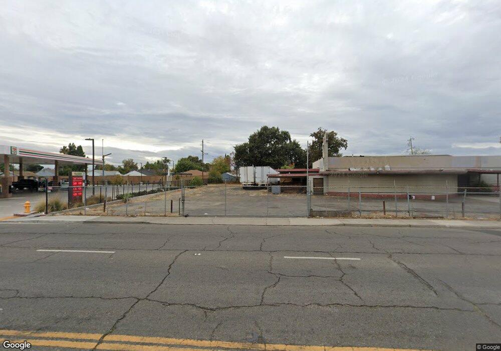
1847 N Wilson Way Stockton, CA 95205
Midtown Neighborhood
--
Bed
--
Bath
--
Sq Ft
0.66
Acres
About This Home
This home is located at 1847 N Wilson Way, Stockton, CA 95205. 1847 N Wilson Way is a home located in San Joaquin County with nearby schools including Grunsky Elementary School, Harrison Elementary School, and August Elementary School.
Ownership History
Date
Name
Owned For
Owner Type
Purchase Details
Closed on
Feb 20, 2013
Sold by
Zachariah Zachariah C and Zachariah Bernadette
Bought by
Zachariah Md Chemanoor U and Zachariah Bernadette A
Purchase Details
Closed on
Jun 26, 1995
Sold by
Eisenbeis Juanita Joan
Bought by
Brent Juanita E and Eisenbeis Roderick D
Purchase Details
Closed on
Jan 5, 1994
Sold by
Simas David J and Gregerson Jerald W
Bought by
Deocampo Gaylord L and Deocampo Debbie G
Home Financials for this Owner
Home Financials are based on the most recent Mortgage that was taken out on this home.
Original Mortgage
$41,500
Interest Rate
7.29%
Mortgage Type
Seller Take Back
Create a Home Valuation Report for This Property
The Home Valuation Report is an in-depth analysis detailing your home's value as well as a comparison with similar homes in the area
Home Values in the Area
Average Home Value in this Area
Purchase History
| Date | Buyer | Sale Price | Title Company |
|---|---|---|---|
| Zachariah Md Chemanoor U | -- | None Available | |
| Brent Juanita E | -- | -- | |
| Deocampo Gaylord L | -- | San Joaquin Title Co |
Source: Public Records
Mortgage History
| Date | Status | Borrower | Loan Amount |
|---|---|---|---|
| Previous Owner | Deocampo Gaylord L | $41,500 |
Source: Public Records
Tax History Compared to Growth
Tax History
| Year | Tax Paid | Tax Assessment Tax Assessment Total Assessment is a certain percentage of the fair market value that is determined by local assessors to be the total taxable value of land and additions on the property. | Land | Improvement |
|---|---|---|---|---|
| 2025 | $6,516 | $515,878 | $324,535 | $191,343 |
| 2024 | $6,412 | $505,764 | $318,172 | $187,592 |
| 2023 | $6,267 | $495,848 | $311,934 | $183,914 |
| 2022 | $6,140 | $486,126 | $305,818 | $180,308 |
| 2021 | $5,899 | $476,595 | $299,822 | $176,773 |
| 2020 | $6,009 | $471,709 | $296,748 | $174,961 |
| 2019 | $5,985 | $462,461 | $290,930 | $171,531 |
| 2018 | $5,874 | $453,394 | $285,226 | $168,168 |
| 2017 | $5,565 | $444,505 | $279,634 | $164,871 |
| 2016 | $5,665 | $435,789 | $274,151 | $161,638 |
| 2014 | $5,388 | $420,838 | $264,745 | $156,093 |
Source: Public Records
Map
Nearby Homes
- 1372 Bradford St
- 1818 West Ln
- 1751 Sycamore Ave
- 1711 E Walnut St
- 1751 Sunnyside Ave
- 1620 Sycamore Ave
- 1702 Sunnyside Ave
- 1600 Sunnyside Ave
- 1272 N Airport Way
- 1902 E Harding Way
- 1257 Sunnyside Ave
- 1155 N Pilgrim St
- 1135 N Pilgrim St
- 2340 Sanguinetti Ln Unit 54
- 1813 E Anita St
- 1037 N Airport Way
- 1404 Williams St
- 1450 Belvedere Ave
- 434 E Cleveland St
- 1845 E Poplar St
- 2012 N Sierra Nevada St
- 2004 N Sierra Nevada St
- 1956 N Sierra Nevada St
- 2022 N Sierra Nevada St
- 1946 N Sierra Nevada St
- 1937 N Wilson Way
- 2028 N Sierra Nevada St
- 1936 N Sierra Nevada St
- 1423 Bradford St
- 2036 N Sierra Nevada St
- 1926 N Sierra Nevada St
- 1508 Bishop St
- 1916 N Sierra Nevada St
- 2011 N Sierra Nevada St
- 2031 N Sierra Nevada St
- 1912 N Wilson Way
- 2049 N Sierra Nevada St
- 1800 N Wilson Way
- 1413 Bradford St
- 1931 N Sierra Nevada St