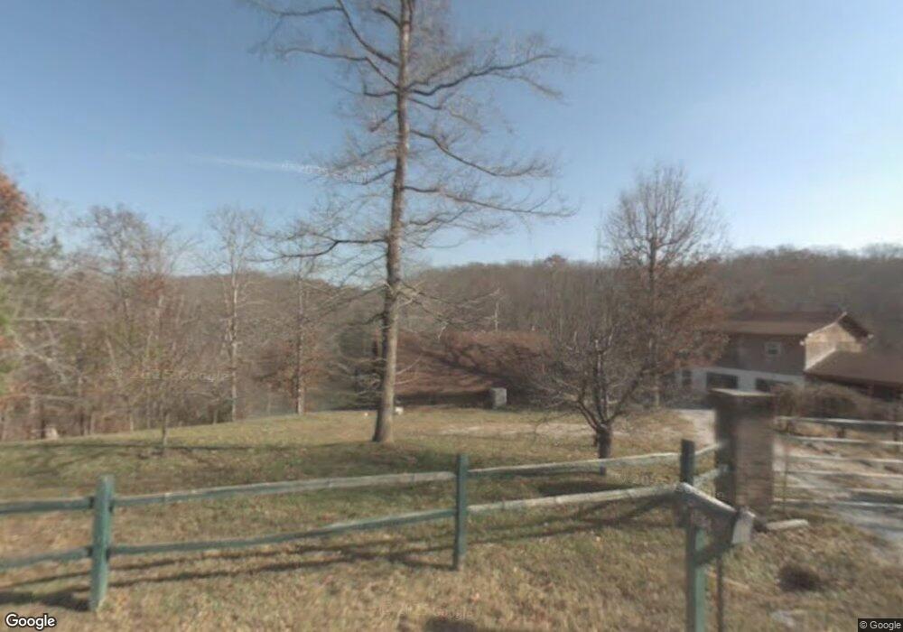
185 Amandas Dove Rd Ten Mile, TN 37880
Estimated Value: $422,000 - $718,000
--
Bed
1
Bath
1,123
Sq Ft
$495/Sq Ft
Est. Value
About This Home
This home is located at 185 Amandas Dove Rd, Ten Mile, TN 37880 and is currently estimated at $555,437, approximately $494 per square foot. 185 Amandas Dove Rd is a home located in Meigs County with nearby schools including Meigs County High School.
Ownership History
Date
Name
Owned For
Owner Type
Purchase Details
Closed on
Aug 10, 2006
Bought by
Devries Rob
Current Estimated Value
Purchase Details
Closed on
Jan 18, 2005
Sold by
Lackey Lawrence E
Bought by
Evans Louis F
Purchase Details
Closed on
Mar 2, 1998
Sold by
Lackey Lawrence E
Bought by
Lackey Lawrence E
Purchase Details
Closed on
Dec 27, 1990
Bought by
Lackey Lawrence E Lois F Evans Le
Purchase Details
Closed on
Aug 31, 1990
Bought by
Lackey Lawrence E and Bonnie Lackey
Purchase Details
Closed on
Jul 24, 1981
Bought by
Womac Ransom and Womac Mary
Create a Home Valuation Report for This Property
The Home Valuation Report is an in-depth analysis detailing your home's value as well as a comparison with similar homes in the area
Home Values in the Area
Average Home Value in this Area
Purchase History
| Date | Buyer | Sale Price | Title Company |
|---|---|---|---|
| Devries Rob | $25,000 | -- | |
| Devries Rob | $25,000 | -- | |
| Evans Louis F | -- | -- | |
| Evans Louis F | -- | -- | |
| Lackey Lawrence E | -- | -- | |
| Lackey Lawrence E | -- | -- | |
| Lackey Lawrence E Lois F Evans Le | -- | -- | |
| Lackey Lawrence E Lois F Evans Le | -- | -- | |
| Lackey Lawrence E | $50,000 | -- | |
| Lackey Lawrence E | $50,000 | -- | |
| Womac Ransom | -- | -- | |
| Womac Ransom | -- | -- |
Source: Public Records
Tax History Compared to Growth
Tax History
| Year | Tax Paid | Tax Assessment Tax Assessment Total Assessment is a certain percentage of the fair market value that is determined by local assessors to be the total taxable value of land and additions on the property. | Land | Improvement |
|---|---|---|---|---|
| 2025 | $1,252 | $74,175 | $0 | $0 |
| 2024 | $1,252 | $74,175 | $28,750 | $45,425 |
| 2023 | $1,252 | $74,175 | $28,750 | $45,425 |
| 2022 | $1,252 | $74,175 | $28,750 | $45,425 |
| 2021 | $1,252 | $74,175 | $28,750 | $45,425 |
| 2020 | $1,292 | $74,175 | $28,750 | $45,425 |
| 2019 | $1,292 | $65,225 | $28,750 | $36,475 |
| 2018 | $1,288 | $65,225 | $28,750 | $36,475 |
| 2017 | $1,288 | $65,025 | $28,750 | $36,275 |
| 2016 | $1,288 | $65,025 | $28,750 | $36,275 |
| 2015 | $1,218 | $65,025 | $28,750 | $36,275 |
| 2014 | $754 | $40,250 | $11,825 | $28,425 |
Source: Public Records
Map
Nearby Homes
- 169 Amandas Dove Rd
- 157 Amandas Dove Rd
- 157 Amanda's Dove Rd
- 145 Amandas Dove Rd
- 125 Amandas Dove Rd
- 436 Red Cloud Ln
- 533 Red Cloud Ln
- 698 Red Cloud Ln
- 541 Red Cloud Ln
- 563 Red Cloud Ln
- 643 Red Cloud Ln
- 720 Red Cloud Ln
- 720 Red Cl Lane
- 815 Red Cloud Ln
- 815 Red Cloud Ln
- 815 Red Cloud Ln
- 815 Red Cloud Ln
- 720 Red Cloud Ln
- 752 Red Cloud Ln
- 409 Red Cloud Ln