Estimated Value: $570,020 - $634,000
2
Beds
2
Baths
2,464
Sq Ft
$247/Sq Ft
Est. Value
About This Home
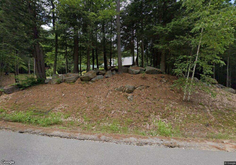
This home is located at 185 Colby Rd, Weare, NH 03281 and is currently estimated at $609,007, approximately $247 per square foot. 185 Colby Rd is a home with nearby schools including Center Woods Elementary School, Weare Middle School, and John Stark Regional High School.
Create a Home Valuation Report for This Property
The Home Valuation Report is an in-depth analysis detailing your home's value as well as a comparison with similar homes in the area
Home Values in the Area
Average Home Value in this Area
Tax History Compared to Growth
Tax History
| Year | Tax Paid | Tax Assessment Tax Assessment Total Assessment is a certain percentage of the fair market value that is determined by local assessors to be the total taxable value of land and additions on the property. | Land | Improvement |
|---|---|---|---|---|
| 2024 | $7,894 | $387,172 | $108,072 | $279,100 |
| 2023 | $7,301 | $387,506 | $108,406 | $279,100 |
| 2022 | $6,743 | $387,501 | $108,401 | $279,100 |
| 2021 | $6,665 | $387,476 | $108,376 | $279,100 |
| 2020 | $7,041 | $293,983 | $89,083 | $204,900 |
| 2019 | $6,970 | $293,983 | $89,083 | $204,900 |
| 2018 | $6,772 | $294,044 | $89,144 | $204,900 |
| 2016 | $6,577 | $294,025 | $89,125 | $204,900 |
| 2015 | $6,098 | $272,124 | $83,724 | $188,400 |
| 2014 | $6,045 | $272,177 | $83,777 | $188,400 |
| 2013 | $5,923 | $272,306 | $89,106 | $183,200 |
Source: Public Records
Map
Nearby Homes
- 174 S Stark Hwy Unit 13
- 174 S Stark Hwy Unit 1
- 174 S Stark Hwy Unit 23
- 93 Daniels Rd
- 77 Gould Rd
- 103 Renshaw Rd
- 624 S Stark Hwy
- 95 Wright Dr
- 450 Weare Rd
- 179 Oak Hill Rd
- 849 River Rd
- 3 Stephanie Rd
- 342 Weare Rd
- 88 Saunders Rd
- 196 Deering Center Rd
- 34 Lull Rd
- 0 Huntington Hill Rd Unit 69
- 22 Fairway Dr
- 238 Old Francestown Rd
- 0 Fairway Dr Unit 11