Estimated Value: $125,885
--
Bed
--
Bath
2,128
Sq Ft
$59/Sq Ft
Est. Value
About This Home
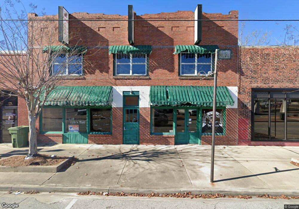
This home is located at 185 NW Broad St, Jesup, GA 31545 and is currently estimated at $125,885, approximately $59 per square foot. 185 NW Broad St is a home located in Wayne County with nearby schools including Martha Rawls Smith Elementary School, Arthur Williams Middle School, and Wayne County High School.
Ownership History
Date
Name
Owned For
Owner Type
Purchase Details
Closed on
Sep 12, 2025
Sold by
Byron Mark
Bought by
We Do Stuff Llc
Current Estimated Value
Home Financials for this Owner
Home Financials are based on the most recent Mortgage that was taken out on this home.
Original Mortgage
$268,110
Outstanding Balance
$264,324
Interest Rate
6.58%
Mortgage Type
New Conventional
Estimated Equity
-$138,439
Purchase Details
Closed on
Aug 27, 2019
Sold by
Bennett R Violet
Bought by
Byron Mark
Purchase Details
Closed on
Oct 1, 1998
Sold by
Yeomans Dorothy and Yeomans
Bought by
Bennett R Violet Etal
Purchase Details
Closed on
Sep 1, 1995
Bought by
Yeomans Dorothy and Yeomans
Purchase Details
Closed on
Dec 1, 1992
Purchase Details
Closed on
Mar 1, 1984
Purchase Details
Closed on
Aug 1, 1981
Purchase Details
Closed on
May 1, 1981
Purchase Details
Closed on
Jan 1, 1978
Purchase Details
Closed on
Dec 1, 1976
Create a Home Valuation Report for This Property
The Home Valuation Report is an in-depth analysis detailing your home's value as well as a comparison with similar homes in the area
Home Values in the Area
Average Home Value in this Area
Purchase History
| Date | Buyer | Sale Price | Title Company |
|---|---|---|---|
| We Do Stuff Llc | $350,000 | -- | |
| Byron Mark | $79,000 | -- | |
| Bennett R Violet Etal | $18,000 | -- | |
| Yeomans Dorothy | $20,000 | -- | |
| -- | -- | -- | |
| -- | $24,300 | -- | |
| -- | -- | -- | |
| -- | -- | -- | |
| -- | -- | -- | |
| -- | -- | -- |
Source: Public Records
Mortgage History
| Date | Status | Borrower | Loan Amount |
|---|---|---|---|
| Open | We Do Stuff Llc | $268,110 |
Source: Public Records
Tax History Compared to Growth
Tax History
| Year | Tax Paid | Tax Assessment Tax Assessment Total Assessment is a certain percentage of the fair market value that is determined by local assessors to be the total taxable value of land and additions on the property. | Land | Improvement |
|---|---|---|---|---|
| 2024 | $3,891 | $127,217 | $5,813 | $121,404 |
| 2023 | $3,651 | $124,354 | $5,813 | $118,541 |
| 2022 | $3,946 | $125,325 | $6,784 | $118,541 |
| 2021 | $954 | $28,292 | $7,392 | $20,900 |
| 2020 | $987 | $28,292 | $7,392 | $20,900 |
| 2019 | $1,016 | $28,292 | $7,392 | $20,900 |
| 2018 | $1,016 | $28,292 | $7,392 | $20,900 |
| 2017 | $875 | $28,292 | $7,392 | $20,900 |
| 2016 | $847 | $28,292 | $7,392 | $20,900 |
| 2014 | $1,327 | $44,246 | $7,392 | $36,854 |
| 2013 | -- | $44,246 | $7,392 | $36,854 |
Source: Public Records
Map
Nearby Homes
- 196 Pine Ridge Dr
- 00 84 Hwy
- 9474 Us Hwy 301
- 106 Mangrove Ct
- 113 Mangrove Ct
- 0 U S 84
- 187 E Pine St
- 0 Fourth S
- 207 E Pine St
- 217 E Pine St
- 217 Pine Ridge Rd
- 229 E Pine St
- 249 Pine Ridge Rd
- 197 NW Broad St
- 436-441 Brunswick St
- 0 N 4th St
- 0 N 4th St Unit 10414401
- 412 W Orange St
- 498 NE Broad St
- 380 S 2nd St
- 153 W Walnut St
- 148 W Walnut St
- 255 NW Broad St
- West Cherry St
- 256 N Macon St
- 286 NW Broad St
- 167 W Cherry St
- 161 N Macon St
- 124 SW Broad St
- E E Walnut St
- 169 Pine Ridge Rd
- 130 SW Broad St
- 169 W Cherry St
- 204 W Cherry St
- 247 W Walnut St
- Lot 16 Hwy 341
- Lot 18 Hwy 341
- Lot 22 Hwy 341
- Lot 24 Hwy 341
- Lot 21 Hwy 341