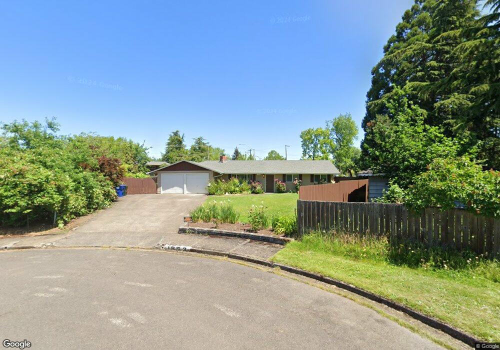
1852 Taylor St Eugene, OR 97405
Friendly NeighborhoodEstimated Value: $433,482 - $492,000
4
Beds
3
Baths
1,518
Sq Ft
$304/Sq Ft
Est. Value
About This Home
This home is located at 1852 Taylor St, Eugene, OR 97405 and is currently estimated at $462,121, approximately $304 per square foot. 1852 Taylor St is a home located in Lane County with nearby schools including Adams Elementary School, Arts And Technology Academy At Jefferson, and Churchill High School.
Ownership History
Date
Name
Owned For
Owner Type
Purchase Details
Closed on
Aug 10, 2012
Sold by
Stirling Charlotte H and Overcast Dona M
Bought by
Hooker Timothy J and Hooker Joeanne K
Current Estimated Value
Purchase Details
Closed on
Dec 15, 2009
Sold by
Olander Michael Scott
Bought by
Olander Richard Milton and Olander Todd Joseph
Purchase Details
Closed on
Aug 14, 2008
Sold by
Olander Carol J
Bought by
Olander Carol Joan and Carol Joan Olander Revocable Living Tr
Create a Home Valuation Report for This Property
The Home Valuation Report is an in-depth analysis detailing your home's value as well as a comparison with similar homes in the area
Home Values in the Area
Average Home Value in this Area
Purchase History
| Date | Buyer | Sale Price | Title Company |
|---|---|---|---|
| Hooker Timothy J | $195,000 | Cascade Title Company | |
| Olander Richard Milton | -- | None Available | |
| Olander Carol Joan | -- | None Available |
Source: Public Records
Tax History
| Year | Tax Paid | Tax Assessment Tax Assessment Total Assessment is a certain percentage of the fair market value that is determined by local assessors to be the total taxable value of land and additions on the property. | Land | Improvement |
|---|---|---|---|---|
| 2025 | $4,282 | $219,749 | -- | -- |
| 2024 | $4,228 | $213,349 | -- | -- |
| 2023 | $4,228 | $207,135 | $0 | $0 |
| 2022 | $3,961 | $201,102 | $0 | $0 |
| 2021 | $3,721 | $195,245 | $0 | $0 |
| 2020 | $3,734 | $189,559 | $0 | $0 |
| 2019 | $3,606 | $184,038 | $0 | $0 |
| 2018 | $3,394 | $173,474 | $0 | $0 |
| 2017 | $3,195 | $173,474 | $0 | $0 |
| 2016 | $3,097 | $168,421 | $0 | $0 |
| 2015 | $2,996 | $163,516 | $0 | $0 |
| 2014 | $2,926 | $158,753 | $0 | $0 |
Source: Public Records
Map
Nearby Homes
- 1890 Taylor St
- 1612 Polk St
- 2095 Polk St
- 1924 Friendly St
- 1910 W 17th Ave
- 1674 Hayes St Unit B
- 1943 W 17th Ave Unit A
- 1935 W 17th Ave Unit B
- 0 Monroe St Unit 343774498
- 2064 W 17th Ave
- 1955 Arthur St
- 2070 W 16th Way
- 1579 Garfield Place Unit 1579
- 1445 W 11th Ave
- 623 W 18th Ave
- 1071 W 11th Ave
- 1243 Hayes St
- 557 W 19th Ave
- 2132 W 14th Ct
- 1735 Cleveland Place
- 1860 Taylor St
- 1844 Taylor St
- 1862 Taylor St
- 1866 Taylor St
- 1870 Taylor St
- 1780 Polk St
- 1875 Taylor St
- 1776 Polk St
- 1895 Taylor St
- 1772 Polk St
- 1772 Polk St Unit 1
- 1290 W 17th Ave
- 1905 Taylor St
- 1900 Polk St
- 1270 W 17th Ave
- 1215 W 18th Ave
- 1895 Polk St
- 0 W Park Apartments 1555 West 18th Unit 1-18
- 1244 W 17th Ave
- 1722 Polk St
Your Personal Tour Guide
Ask me questions while you tour the home.