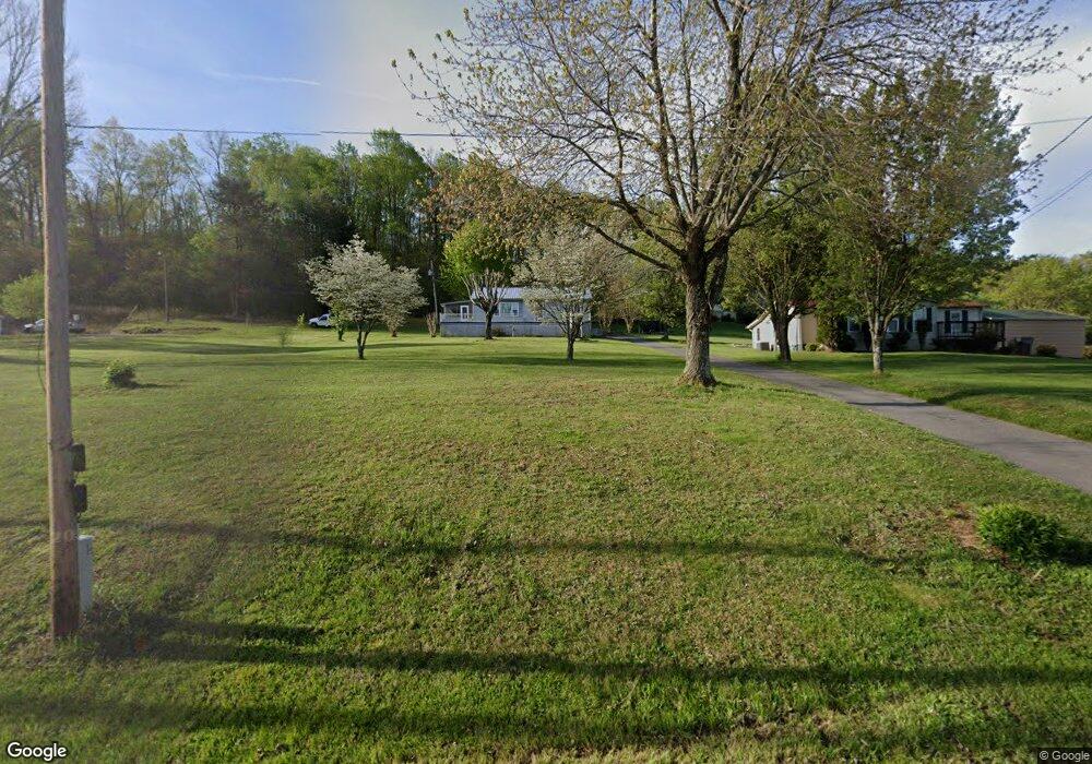
1855 Roe Junction Rd Morristown, TN 37813
Estimated Value: $162,482 - $326,000
--
Bed
1
Bath
1,120
Sq Ft
$204/Sq Ft
Est. Value
About This Home
This home is located at 1855 Roe Junction Rd, Morristown, TN 37813 and is currently estimated at $228,371, approximately $203 per square foot. 1855 Roe Junction Rd is a home located in Hamblen County with nearby schools including Witt Elementary School, Lincoln Heights Middle School, and Morristown West High School.
Ownership History
Date
Name
Owned For
Owner Type
Purchase Details
Closed on
Aug 9, 2023
Sold by
Kelley Charlotte Ann
Bought by
Kelley Steve L
Current Estimated Value
Purchase Details
Closed on
Sep 5, 2003
Sold by
Kelley Mary J
Bought by
Kelley James W
Purchase Details
Closed on
Aug 10, 1992
Bought by
Kelley James and Charlotte Ann
Purchase Details
Closed on
Feb 12, 1992
Bought by
Kelley Charles and Mary Jane
Purchase Details
Closed on
Mar 12, 1991
Bought by
Wolfe Richard A and Wolfe Smith J
Purchase Details
Closed on
Jan 27, 1967
Bought by
Dodson Sam and Dodson Bessie A
Create a Home Valuation Report for This Property
The Home Valuation Report is an in-depth analysis detailing your home's value as well as a comparison with similar homes in the area
Home Values in the Area
Average Home Value in this Area
Purchase History
| Date | Buyer | Sale Price | Title Company |
|---|---|---|---|
| Kelley Steve L | $25,675,675 | None Listed On Document | |
| Kelley James W | $1,200 | -- | |
| Kelley James | $24,500 | -- | |
| Kelley Charles | $16,200 | -- | |
| Wolfe Richard A | $59,000 | -- | |
| Dodson Sam | -- | -- |
Source: Public Records
Tax History Compared to Growth
Tax History
| Year | Tax Paid | Tax Assessment Tax Assessment Total Assessment is a certain percentage of the fair market value that is determined by local assessors to be the total taxable value of land and additions on the property. | Land | Improvement |
|---|---|---|---|---|
| 2024 | $454 | $24,250 | $6,250 | $18,000 |
| 2023 | $454 | $24,250 | $0 | $0 |
| 2022 | $454 | $24,250 | $6,250 | $18,000 |
| 2021 | $454 | $24,250 | $6,250 | $18,000 |
| 2020 | $454 | $24,250 | $6,250 | $18,000 |
| 2019 | $454 | $22,800 | $6,250 | $16,550 |
| 2018 | $454 | $22,800 | $6,250 | $16,550 |
| 2017 | $454 | $22,800 | $6,250 | $16,550 |
| 2016 | $454 | $22,800 | $6,250 | $16,550 |
| 2015 | $422 | $22,800 | $6,250 | $16,550 |
| 2014 | -- | $22,800 | $6,250 | $16,550 |
| 2013 | -- | $25,625 | $0 | $0 |
Source: Public Records
Map
Nearby Homes
- 2895 Coffey Rd
- 1418 Mae Collins Rd
- 1160 Statem Gap Rd
- 3520 Sublett Rd
- 2018 Southwood Cir
- 1049 Greenway Dr
- Darwin Plan at Southwood
- Robie Plan at Southwood
- Elston Plan at Southwood
- Belhaven Plan at Southwood
- Penwell Plan at Southwood
- Cali Plan at Southwood
- 453 Statem Gap Rd
- 2262 Fernwood Church Rd
- 1708 Hindley Rd
- 203 Lincoln Ave
- 440 S Fairmont Ave
- 1500 S Davy Crockett Pkwy
- 305-365 Barkley Landing Dr
- 837 Pauline Ave
- 1865 Roe Junction Rd
- 1875 Roe Junction Rd
- 1905 Roe Junction Rd
- 1836 Roe Junction Rd
- 1965 Roe Junction Rd
- 1996 Roe Junction Rd
- 1936 Roe Junction Rd
- 1985 Roe Junction Rd
- 2461 Clint Cir
- 2704 Sulphur Springs Rd
- 2736 Sulphur Springs Rd
- 2725 Sulphur Springs Rd
- 2010 Roe Junction Rd
- 2730 Sulphur Springs Rd
- 2452 Clint Cir
- 2686 Sulphur Springs Rd
- 2391 Clint Cir
- 2050 Roe Junction Rd
- 2675 Sulphur Springs Rd
- 2381 Clint Cir