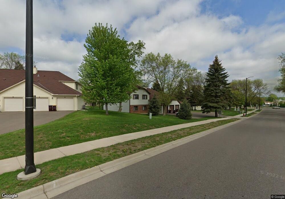
1859 Livingston Ave Unit 403D Saint Paul, MN 55118
Estimated Value: $213,944 - $223,000
2
Beds
2
Baths
1,353
Sq Ft
$161/Sq Ft
Est. Value
About This Home
This home is located at 1859 Livingston Ave Unit 403D, Saint Paul, MN 55118 and is currently estimated at $218,236, approximately $161 per square foot. 1859 Livingston Ave Unit 403D is a home located in Dakota County with nearby schools including Garlough Environmental Magnet, Friendly Hills Middle School, and Two Rivers High School.
Ownership History
Date
Name
Owned For
Owner Type
Purchase Details
Closed on
Nov 2, 2017
Sold by
Pitera James Thomas and Pitera Connie Lynn
Bought by
Pitera Connie Lynn
Current Estimated Value
Purchase Details
Closed on
Jul 30, 1999
Sold by
Bos Ann Y and Bos Donald L
Bought by
Pedro James T and Pedro Connie Lynn
Create a Home Valuation Report for This Property
The Home Valuation Report is an in-depth analysis detailing your home's value as well as a comparison with similar homes in the area
Home Values in the Area
Average Home Value in this Area
Purchase History
| Date | Buyer | Sale Price | Title Company |
|---|---|---|---|
| Pitera Connie Lynn | -- | None Available | |
| Pedro James T | $114,000 | -- |
Source: Public Records
Tax History Compared to Growth
Tax History
| Year | Tax Paid | Tax Assessment Tax Assessment Total Assessment is a certain percentage of the fair market value that is determined by local assessors to be the total taxable value of land and additions on the property. | Land | Improvement |
|---|---|---|---|---|
| 2024 | $2,388 | $203,000 | $20,100 | $182,900 |
| 2023 | $2,388 | $208,700 | $20,600 | $188,100 |
| 2022 | $1,960 | $183,800 | $18,100 | $165,700 |
| 2021 | $1,854 | $168,200 | $16,600 | $151,600 |
| 2020 | $1,980 | $159,700 | $15,700 | $144,000 |
| 2019 | $1,873 | $147,500 | $14,500 | $133,000 |
| 2018 | $1,458 | $142,500 | $14,300 | $128,200 |
| 2017 | $1,128 | $119,200 | $11,900 | $107,300 |
| 2016 | $972 | $102,700 | $10,300 | $92,400 |
| 2015 | $959 | $63,694 | $6,397 | $57,297 |
| 2014 | -- | $60,642 | $6,078 | $54,564 |
| 2013 | -- | $47,889 | $4,783 | $43,106 |
Source: Public Records
Map
Nearby Homes
- 1923 Fox Ridge Dr Unit B
- 8XX Humboldt Ave
- 25 W Kraft Rd
- 1701 Livingston Ave Unit B
- 1694 Humboldt Ave
- 2012 Pine Ridge Dr
- 170 Wentworth Ave W Unit F
- 48 Thompson Ave W Unit 40
- 1620 Charlton St Unit 109
- 1450 Bidwell St Unit 110
- 348 Crowley Cir
- Bayfield Plan at Thompson Square East
- Capri Plan at Thompson Square East
- 1531 Traverse Ln
- Hayward Plan at Thompson Square East
- Barcelona Plan at Thompson Square East
- Athens II Plan at Thompson Square East
- Athens Plan at Thompson Square East
- 1526 Traverse Ln
- 1518 Traverse Ln
- 1859 Livingston Ave Unit 404A
- 1859 Livingston Ave Unit 402B
- 1859 Livingston Ave Unit 401C
- 1859 Livingston Ave Unit D
- 1859 Livingston Ave Unit B
- 1859 1859 Livingston Ave
- 1845 Livingston Ave Unit A
- 22 Marie Ave E Unit 308A
- 22 Marie Ave E Unit 307D
- 22 Marie Ave E Unit 306B
- 22 Marie Ave E Unit 305C
- 1845 Livingston Ave Unit 304B
- 1845 Livingston Ave Unit 303C
- 1845 Livingston Ave Unit 302A
- 1845 Livingston Ave Unit 301D
- 1845 Livingston Ave
- 22 Marie Ave E Unit A
- 22 Marie Ave E Unit B
- 22 Marie Ave E
- 1845 Livingston Ave Unit C