186 Middlesex Ave Thorofare, NJ 08086
Estimated Value: $273,217
Studio
--
Bath
1,204
Sq Ft
$227/Sq Ft
Est. Value
About This Home
This home is located at 186 Middlesex Ave, Thorofare, NJ 08086 and is currently estimated at $273,217, approximately $226 per square foot. 186 Middlesex Ave is a home located in Gloucester County with nearby schools including Red Bank Elementary School, Oakview Elementary School, and Green-Fields Elementary School.
Ownership History
Date
Name
Owned For
Owner Type
Purchase Details
Closed on
Dec 3, 2019
Sold by
Reagan William E and Reagan Denise A
Bought by
Mattson Peggy A
Current Estimated Value
Home Financials for this Owner
Home Financials are based on the most recent Mortgage that was taken out on this home.
Original Mortgage
$132,000
Outstanding Balance
$116,377
Interest Rate
3.6%
Mortgage Type
New Conventional
Estimated Equity
$156,248
Purchase Details
Closed on
Aug 17, 1990
Bought by
Reagan William E and Reagan Denise A
Create a Home Valuation Report for This Property
The Home Valuation Report is an in-depth analysis detailing your home's value as well as a comparison with similar homes in the area
Home Values in the Area
Average Home Value in this Area
Purchase History
| Date | Buyer | Sale Price | Title Company |
|---|---|---|---|
| Mattson Peggy A | $165,000 | Connection Title Agency | |
| Reagan William E | $90,000 | -- |
Source: Public Records
Mortgage History
| Date | Status | Borrower | Loan Amount |
|---|---|---|---|
| Open | Mattson Peggy A | $132,000 |
Source: Public Records
Tax History
| Year | Tax Paid | Tax Assessment Tax Assessment Total Assessment is a certain percentage of the fair market value that is determined by local assessors to be the total taxable value of land and additions on the property. | Land | Improvement |
|---|---|---|---|---|
| 2025 | -- | $160,300 | $55,400 | $104,900 |
| 2024 | -- | $160,300 | $55,400 | $104,900 |
| 2023 | -- | $160,300 | $55,400 | $104,900 |
| 2022 | -- | $160,300 | $55,400 | $104,900 |
| 2021 | $5,316 | $160,300 | $55,400 | $104,900 |
| 2020 | $10,141 | $160,300 | $55,400 | $104,900 |
| 2019 | $5,316 | $160,300 | $55,400 | $104,900 |
| 2018 | $5,171 | $160,300 | $55,400 | $104,900 |
| 2017 | $5,051 | $160,300 | $55,400 | $104,900 |
| 2016 | $4,910 | $160,300 | $55,400 | $104,900 |
| 2015 | $4,678 | $160,300 | $55,400 | $104,900 |
| 2014 | $4,445 | $160,300 | $55,400 | $104,900 |
Source: Public Records
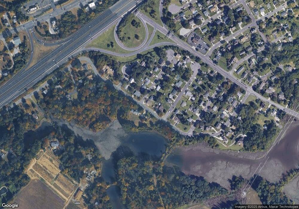
Map
Nearby Homes
- 439 Crown Point Rd
- 170 Frederic Ct
- 433 Crown Point Rd
- 175 Queen St
- 126 Brent Ct
- 113 Brent Ct
- 47 Pelican Place Unit 47
- 178 Essex Ave
- 558 Prince St
- 138 Blue Heron Dr
- 511 Queen St
- 414 W Centre St
- 21 S Columbia St
- 453 Prince St
- 1102 Barnesdale Rd
- 83 Lynn Dr
- 2 Victorian Way
- 3 Victorian Way
- 7 Victorian Way
- 87 Woodway Dr Unit 87
- 186 Middlesex Ct
- 188 Middlesex Ave
- 190 Middlesex Ave
- 160 Passaic Ave
- 165 Passaic Ave
- 157 Passaic Ave
- 187 Roosevelt Blvd
- 187 Middlesex Ave
- 189 Roosevelt Blvd
- 189 Middlesex Ave
- 191 Roosevelt Blvd
- 186 Monmouth Ave
- 191 Middlesex Ave
- 188 Monmouth Ave
- 188 Roosevelt Blvd
- 194 Middlesex Ave
- 190 Roosevelt Blvd
- 177 Passaic Ave
- 193 Roosevelt Blvd
- 193 Middlesex Ave
Your Personal Tour Guide
Ask me questions while you tour the home.