186 Monmouth Ave Thorofare, NJ 08086
West Deptford Township NeighborhoodEstimated Value: $248,594 - $316,000
--
Bed
--
Bath
960
Sq Ft
$295/Sq Ft
Est. Value
About This Home
This home is located at 186 Monmouth Ave, Thorofare, NJ 08086 and is currently estimated at $283,649, approximately $295 per square foot. 186 Monmouth Ave is a home located in Gloucester County with nearby schools including Red Bank Elementary School, Oakview Elementary School, and Green-Fields Elementary School.
Ownership History
Date
Name
Owned For
Owner Type
Purchase Details
Closed on
Apr 15, 2021
Sold by
Dehart Lois
Bought by
Dehart Jacob R
Current Estimated Value
Home Financials for this Owner
Home Financials are based on the most recent Mortgage that was taken out on this home.
Original Mortgage
$170,000
Outstanding Balance
$153,612
Interest Rate
3.05%
Mortgage Type
New Conventional
Estimated Equity
$130,037
Purchase Details
Closed on
Feb 25, 1999
Sold by
Hippler Helen M and Estate Of Lillian I Simpson
Bought by
Dehart Lois
Create a Home Valuation Report for This Property
The Home Valuation Report is an in-depth analysis detailing your home's value as well as a comparison with similar homes in the area
Home Values in the Area
Average Home Value in this Area
Purchase History
| Date | Buyer | Sale Price | Title Company |
|---|---|---|---|
| Dehart Jacob R | $180,000 | Landgruad Title Services Llc | |
| Dehart Jacob R | $180,000 | Chicago Title | |
| Dehart Lois | $70,000 | -- |
Source: Public Records
Mortgage History
| Date | Status | Borrower | Loan Amount |
|---|---|---|---|
| Open | Dehart Jacob R | $170,000 | |
| Closed | Dehart Jacob R | $170,000 |
Source: Public Records
Tax History Compared to Growth
Tax History
| Year | Tax Paid | Tax Assessment Tax Assessment Total Assessment is a certain percentage of the fair market value that is determined by local assessors to be the total taxable value of land and additions on the property. | Land | Improvement |
|---|---|---|---|---|
| 2025 | $5,580 | $159,800 | $55,400 | $104,400 |
| 2024 | $5,508 | $159,800 | $55,400 | $104,400 |
| 2023 | $5,508 | $159,800 | $55,400 | $104,400 |
| 2022 | $5,483 | $159,800 | $55,400 | $104,400 |
| 2021 | $5,464 | $159,800 | $55,400 | $104,400 |
| 2020 | $5,451 | $159,800 | $55,400 | $104,400 |
| 2019 | $5,299 | $159,800 | $55,400 | $104,400 |
| 2018 | $5,155 | $159,800 | $55,400 | $104,400 |
| 2017 | $5,035 | $159,800 | $55,400 | $104,400 |
| 2016 | $4,895 | $159,800 | $55,400 | $104,400 |
| 2015 | $4,663 | $159,800 | $55,400 | $104,400 |
| 2014 | $4,431 | $159,800 | $55,400 | $104,400 |
Source: Public Records
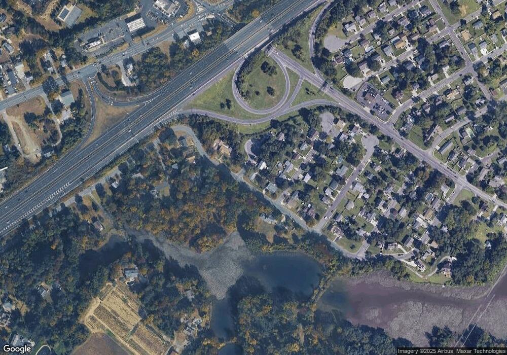
Map
Nearby Homes
- 121 Cape May Ave
- 266 Passaic Ave
- 107 Audubon Ave
- 64 Tilden Rd
- 10 Kennedy Ct
- 439 Crown Point Rd
- 433 Crown Point Rd
- 124 Brent Ct
- 400 Audubon Ave
- 67 Pelican Place
- 1810 Fernwood Dr
- 136 Sandpiper Ln
- 1311 Barnesdale Rd
- 97 Church St
- 4 Saint Emilion Ct
- 112 N Drexel St
- 740 Carter Hill Dr
- 558 Prince St
- 6 Phoebe Terrace
- 247 Crown Point Rd
- 188 Monmouth Ave
- 157 Passaic Ave
- 187 Middlesex Ave
- 189 Middlesex Ave
- 191 Middlesex Ave
- 143 Passaic Ave
- 192 Monmouth Ave
- 192 Monmouth Ave
- 186 Middlesex Ct
- 186 Middlesex Ave
- 188 Middlesex Ave
- 160 Passaic Ave
- 190 Middlesex Ave
- 193 Middlesex Ave
- 165 Passaic Ave
- 187 Roosevelt Blvd
- 106 Gloucester Ave
- 194 Middlesex Ave
- 195 Middlesex Ave
- 189 Roosevelt Blvd