186 Sumner Stetson Rd Colrain, MA 01340
Heath NeighborhoodEstimated Value: $386,000 - $463,000
Studio
--
Bath
1,200
Sq Ft
$354/Sq Ft
Est. Value
About This Home
This home is located at 186 Sumner Stetson Rd, Colrain, MA 01340 and is currently estimated at $424,423, approximately $353 per square foot. 186 Sumner Stetson Rd is a home with nearby schools including Mohawk Trail Regional High School.
Create a Home Valuation Report for This Property
The Home Valuation Report is an in-depth analysis detailing your home's value as well as a comparison with similar homes in the area
Home Values in the Area
Average Home Value in this Area
Tax History
| Year | Tax Paid | Tax Assessment Tax Assessment Total Assessment is a certain percentage of the fair market value that is determined by local assessors to be the total taxable value of land and additions on the property. | Land | Improvement |
|---|---|---|---|---|
| 2025 | $5,387 | $286,400 | $38,400 | $248,000 |
| 2024 | $3,128 | $153,100 | $34,400 | $118,700 |
| 2023 | $579 | $25,300 | $25,300 | $0 |
Source: Public Records
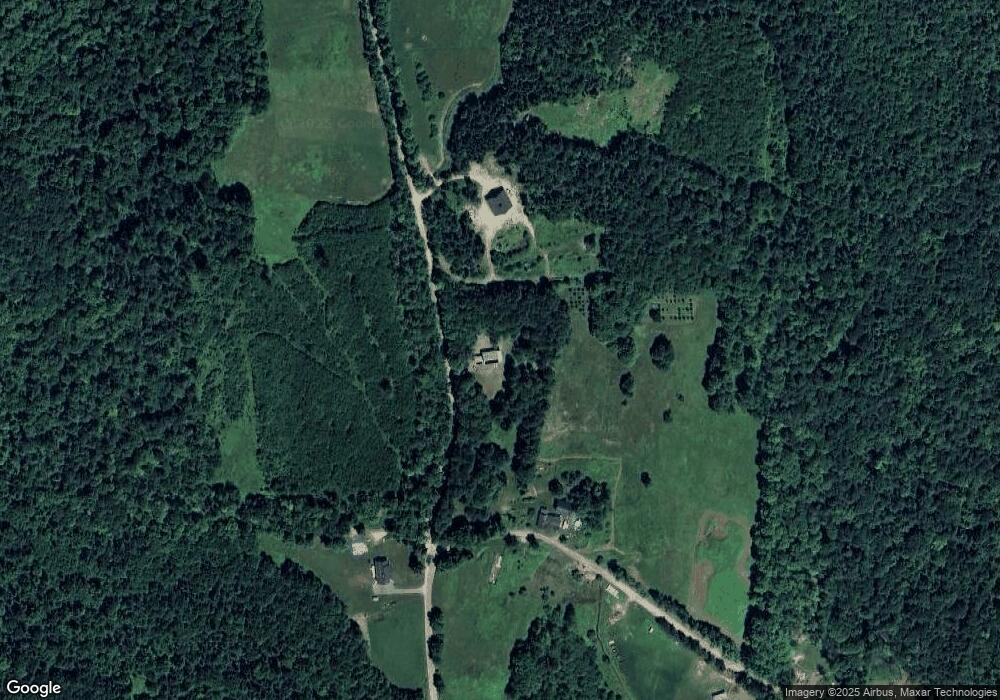
Map
Nearby Homes
- 594 Massachusetts 8a
- 1192 Chapel Hill Rd
- 442 Mcmillan Rd
- 2173 Vermont 8a
- Lot 121 Davis Mine Rd
- 1033 Burrington Hill Rd
- 14 South Rd
- 843 Kentfield Rd
- 292 Deer Hill Rd
- 1587 Upper Holbrook Rd
- 251 Phillips Hill Rd
- 829 Pennel Hill Rd
- 233 Poverty Row
- 8 Deer Run Path
- 127 County Rd
- 104 Karen Day Rd
- 7139 Vermont Route 100
- 0 Potters Rd Unit 248445
- 0 Potters Rd Unit 73439831
- 636 Tunnel St
- 147 Sumner Stetson Rd
- 148 Sumner Stetson Rd
- 153 Sumner Stetson Rd
- 134 Sumner Stetson Rd
- 162 Sumner Stetson Rd
- 107 Sumner Stetson Rd
- 108 Sumner Stetson Rd
- 7 Underwood Hill Rd
- 205 Underwood Hill Rd
- 43 Underwood Hill Rd
- 85 Sumner Stetson Rd
- 70 Underwood Hill Rd
- 72 Underwood Hill Rd
- 77 Sadoga Rd
- 71 Sadoga Rd
- 211 Sumner Stetson Rd
- 11 Sadoga Rd
- 0 Underwood Hill Rd Unit 70934763
- 0 Underwood Hill Rd Unit 71481316
Your Personal Tour Guide
Ask me questions while you tour the home.