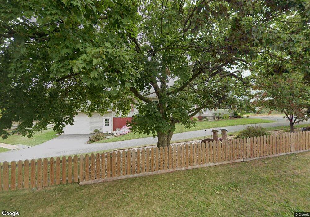
1860 Mt Wilson Rd Manheim, PA 17545
Estimated Value: $236,000 - $549,000
3
Beds
1
Bath
1,592
Sq Ft
$263/Sq Ft
Est. Value
About This Home
This home is located at 1860 Mt Wilson Rd, Manheim, PA 17545 and is currently estimated at $418,248, approximately $262 per square foot. 1860 Mt Wilson Rd is a home located in Lebanon County with nearby schools including Palmyra Area Senior High School.
Ownership History
Date
Name
Owned For
Owner Type
Purchase Details
Closed on
May 25, 2021
Sold by
Flory Steven T and The Brenda E Flory Estate
Bought by
Zook Amos K and Zook Rebecca S
Current Estimated Value
Home Financials for this Owner
Home Financials are based on the most recent Mortgage that was taken out on this home.
Original Mortgage
$312,000
Outstanding Balance
$282,750
Interest Rate
3.1%
Mortgage Type
Future Advance Clause Open End Mortgage
Estimated Equity
$135,498
Purchase Details
Closed on
Oct 1, 2020
Sold by
Flory Brenda E
Bought by
Flory Brenda E
Create a Home Valuation Report for This Property
The Home Valuation Report is an in-depth analysis detailing your home's value as well as a comparison with similar homes in the area
Home Values in the Area
Average Home Value in this Area
Purchase History
| Date | Buyer | Sale Price | Title Company |
|---|---|---|---|
| Zook Amos K | $390,000 | None Available | |
| Flory Brenda E | -- | None Available |
Source: Public Records
Mortgage History
| Date | Status | Borrower | Loan Amount |
|---|---|---|---|
| Open | Zook Amos K | $312,000 |
Source: Public Records
Tax History Compared to Growth
Tax History
| Year | Tax Paid | Tax Assessment Tax Assessment Total Assessment is a certain percentage of the fair market value that is determined by local assessors to be the total taxable value of land and additions on the property. | Land | Improvement |
|---|---|---|---|---|
| 2025 | $5,360 | $222,200 | $82,100 | $140,100 |
| 2024 | $4,959 | $222,200 | $82,100 | $140,100 |
| 2023 | $4,959 | $222,200 | $82,100 | $140,100 |
| 2022 | $4,830 | $222,200 | $82,100 | $140,100 |
| 2021 | $4,557 | $222,200 | $82,100 | $140,100 |
| 2020 | $4,495 | $222,200 | $82,100 | $140,100 |
| 2019 | $4,357 | $222,200 | $82,100 | $140,100 |
| 2018 | $4,316 | $222,200 | $82,100 | $140,100 |
| 2017 | $1,082 | $222,200 | $82,100 | $140,100 |
| 2016 | $4,031 | $222,200 | $82,100 | $140,100 |
| 2015 | -- | $222,200 | $82,100 | $140,100 |
| 2014 | -- | $222,200 | $82,100 | $140,100 |
Source: Public Records
Map
Nearby Homes
- 975 Cold Springs Rd
- 526 Woodland Cir
- 175 Timber Ln
- 1260 Cider Press Rd
- 0 Ss Timber Cove
- 115 Allwein Dr
- 357 Timber Ln
- 650 Cider Press Rd
- 1105 Cider Press Rd
- 3151 Creighton Dr
- 651 Lawn Rd
- 210 Harvard Ave
- 202 Harvard Ave
- 400 E Patrick Rd
- 110 Brown Ave
- 825 Mine Rd
- 1005 Trail Rd N
- 845 Mine Rd
- 865 Mine Rd
- 207 Weaver Ave
- 27 Church Rd
- 61 Church Rd
- 1825 Mt Wilson Rd
- 126 Church Rd
- 138 Church Rd
- 4351 Harvest Rd
- 150 Church Rd
- 151 Church Rd
- 1865 Mt Wilson Rd
- 3617 N Colebrook Rd
- 4301 Harvest Rd
- 1751 Mt Wilson Rd
- 1750 Mt Wilson Rd
- 250 Church Rd
- 287 Church Rd
- 304 Church Rd
- 329 Church Rd
- 4201 Harvest Rd
- 355 Church Rd
- 438 Church Rd