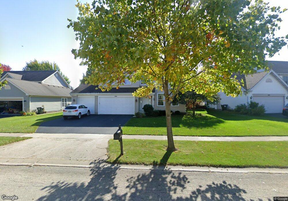
1861 Arbordale Ln Unit 7 Algonquin, IL 60102
Estimated Value: $443,046 - $481,000
4
Beds
--
Bath
2,632
Sq Ft
$177/Sq Ft
Est. Value
About This Home
This home is located at 1861 Arbordale Ln Unit 7, Algonquin, IL 60102 and is currently estimated at $465,762, approximately $176 per square foot. 1861 Arbordale Ln Unit 7 is a home located in Kane County with nearby schools including Westfield Community School and Harry D Jacobs High School.
Ownership History
Date
Name
Owned For
Owner Type
Purchase Details
Closed on
Jan 7, 2002
Sold by
Jablonski Richard S and Jablonski Margaret L
Bought by
Oconnor Thomas J and Oconnor Michelle L
Current Estimated Value
Home Financials for this Owner
Home Financials are based on the most recent Mortgage that was taken out on this home.
Original Mortgage
$200,000
Interest Rate
6.92%
Mortgage Type
Balloon
Purchase Details
Closed on
Jun 30, 1995
Sold by
Willoughby Farms First Ltd Prtnrshp
Bought by
Jablonski Richard S and Jablonski Margaret L
Home Financials for this Owner
Home Financials are based on the most recent Mortgage that was taken out on this home.
Original Mortgage
$190,800
Interest Rate
7.5%
Create a Home Valuation Report for This Property
The Home Valuation Report is an in-depth analysis detailing your home's value as well as a comparison with similar homes in the area
Home Values in the Area
Average Home Value in this Area
Purchase History
| Date | Buyer | Sale Price | Title Company |
|---|---|---|---|
| Oconnor Thomas J | $254,500 | -- | |
| Jablonski Richard S | $212,500 | Chicago Title Insurance Co |
Source: Public Records
Mortgage History
| Date | Status | Borrower | Loan Amount |
|---|---|---|---|
| Closed | Oconnor Thomas J | $200,000 | |
| Previous Owner | Jablonski Richard S | $190,800 |
Source: Public Records
Tax History Compared to Growth
Tax History
| Year | Tax Paid | Tax Assessment Tax Assessment Total Assessment is a certain percentage of the fair market value that is determined by local assessors to be the total taxable value of land and additions on the property. | Land | Improvement |
|---|---|---|---|---|
| 2024 | $9,428 | $132,004 | $25,730 | $106,274 |
| 2023 | $9,016 | $118,773 | $23,151 | $95,622 |
| 2022 | $8,408 | $106,605 | $23,151 | $83,454 |
| 2021 | $8,162 | $100,656 | $21,859 | $78,797 |
| 2020 | $8,004 | $98,393 | $21,368 | $77,025 |
| 2019 | $7,761 | $93,405 | $20,285 | $73,120 |
| 2018 | $7,888 | $91,555 | $19,883 | $71,672 |
| 2017 | $7,572 | $85,646 | $18,600 | $67,046 |
| 2016 | $7,383 | $79,121 | $18,009 | $61,112 |
| 2015 | -- | $72,507 | $17,040 | $55,467 |
| 2014 | -- | $65,822 | $16,569 | $49,253 |
| 2013 | -- | $67,837 | $17,076 | $50,761 |
Source: Public Records
Map
Nearby Homes
- 1900 Waverly Ln
- 30 Arbordale Ct Unit 4284
- 2101 Peach Tree Ln Unit 4094
- 1971 Peach Tree Ln
- 2043 Peach Tree Ln Unit 4122
- 000 County Line Rd
- Marianne Plan at Algonquin Meadows - Traditional Townhomes
- Darcy Plan at Algonquin Meadows - Traditional Townhomes
- Charlotte Plan at Algonquin Meadows - Traditional Townhomes
- Adams Plan at Algonquin Meadows - Single Family
- Sequoia Plan at Algonquin Meadows - Single Family
- Bryce Plan at Algonquin Meadows - Single Family
- Rainier Plan at Algonquin Meadows - Single Family
- Santa Rosa Plan at Algonquin Meadows - Single Family
- Biscayne Plan at Algonquin Meadows - Single Family
- 2161 Burnham Ct
- 12 White Oak Ct
- 2060 Dorchester Ave
- Amherst Plan at Algonquin Meadows - Urban Townhomes
- Chatham Plan at Algonquin Meadows - Urban Townhomes
- 1851 Arbordale Ln
- 1871 Arbordale Ln
- 1950 Waverly Ln Unit 8
- 1940 Waverly Ln
- 1841 Arbordale Ln
- 1830 Arbordale Ln
- 1930 Waverly Ln
- 1840 Arbordale Ln
- 1820 Arbordale Ln
- 1831 Arbordale Ln
- 1850 Arbordale Ln
- 1920 Waverly Ln
- 1810 Arbordale Ln
- 2006 Waverly Ln Unit 4291
- 34 Arbordale Ct Unit 4282
- 28 Arbordale Ct Unit 4285
- 32 Arbordale Ct Unit 4283
- 36 Arbordale Ct Unit 4281
- 26 Arbordale Ct Unit 4286
- 2004 Waverly Ln Unit 4292