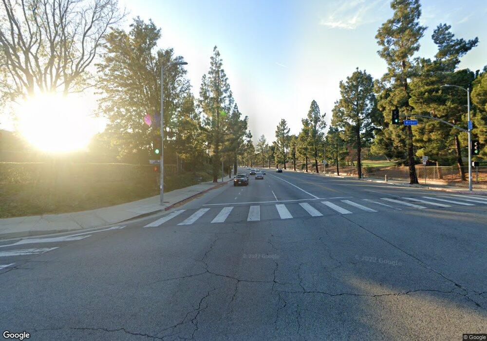
18634 S f Mission Blvd Porter Ranch, CA 91326
Porter Ranch NeighborhoodEstimated Value: $1,312,000 - $1,334,000
4
Beds
4
Baths
2,195
Sq Ft
$603/Sq Ft
Est. Value
About This Home
This home is located at 18634 S f Mission Blvd, Porter Ranch, CA 91326 and is currently estimated at $1,324,037, approximately $603 per square foot. 18634 S f Mission Blvd is a home located in Los Angeles County with nearby schools including Darby Avenue Elementary, Valley Academy of Arts & Sciences, and Northridge Academy High.
Ownership History
Date
Name
Owned For
Owner Type
Purchase Details
Closed on
Feb 2, 2006
Sold by
Tralla David and Tralla Lucy
Bought by
Tralla David E and Tralla Lucy A
Current Estimated Value
Purchase Details
Closed on
Nov 10, 1995
Sold by
State Street Bank & Trust Smart 1992-5B
Bought by
Tralla David E and Tralla Lucy A
Purchase Details
Closed on
Jul 3, 1995
Sold by
Carmichael John Stephen and Carmichael Carrie Dane
Bought by
State Street Bank & Trust Smart 1992-5B
Create a Home Valuation Report for This Property
The Home Valuation Report is an in-depth analysis detailing your home's value as well as a comparison with similar homes in the area
Home Values in the Area
Average Home Value in this Area
Purchase History
| Date | Buyer | Sale Price | Title Company |
|---|---|---|---|
| Tralla David E | -- | None Available | |
| Tralla David E | $330,000 | Landsafe Title | |
| State Street Bank & Trust Smart 1992-5B | $200,000 | Western Cities Title |
Source: Public Records
Tax History Compared to Growth
Tax History
| Year | Tax Paid | Tax Assessment Tax Assessment Total Assessment is a certain percentage of the fair market value that is determined by local assessors to be the total taxable value of land and additions on the property. | Land | Improvement |
|---|---|---|---|---|
| 2025 | $13,530 | $1,105,777 | $719,498 | $386,279 |
| 2024 | $13,530 | $1,084,096 | $705,391 | $378,705 |
| 2023 | $4,009 | $290,581 | $140,179 | $150,402 |
| 2022 | $3,838 | $284,884 | $137,431 | $147,453 |
| 2021 | $3,783 | $279,299 | $134,737 | $144,562 |
| 2019 | $3,679 | $271,017 | $130,742 | $140,275 |
| 2018 | $3,525 | $265,704 | $128,179 | $137,525 |
| 2016 | $3,354 | $255,388 | $123,202 | $132,186 |
| 2015 | $3,309 | $251,553 | $121,352 | $130,201 |
| 2014 | $3,330 | $246,626 | $118,975 | $127,651 |
Source: Public Records
Map
Nearby Homes
- 11144 Viking Ave
- 18371 Lahey St
- 18351 San Fernando Mission Blvd
- 18352 Ludlow St
- 18308 Lahey St
- 11258 Yolanda Ave
- 18301 Ludlow St
- 11410 Reseda Blvd
- 10811 Amigo Ave
- 11215 Wilbur Ave
- 19009 Celtic St
- 19040 Celtic St
- 18741 Hillsboro Rd
- 19140 Lahey St Unit 4
- 19200 Lahey St Unit 3
- 11158 Newcastle Ave
- 10805 Chimineas Ave
- 10535 Reseda Blvd
- 10861 Lindley Ave
- 11180 Bertrand Ave
- 18634 San Fernando Mission Blvd
- 18638 S f Mission Blvd
- 18631 Kenya St
- 11116 Dulcet Ave
- 18637 Kenya St
- 11110 Dulcet Ave
- 18644 S f Mission Blvd
- 18623 Kenya St
- 11124 Dulcet Ave
- 18637 S f Mission Blvd
- 18643 Kenya St
- 18619 Kenya St
- 18650 San Fernando Mission Blvd
- 11130 Dulcet Ave
- 18650 S f Mission Blvd
- 11152 Rolkel Place
- 18630 Kenya St
- 18624 Kenya St
- 18615 Kenya St
- 18638 Kenya St
