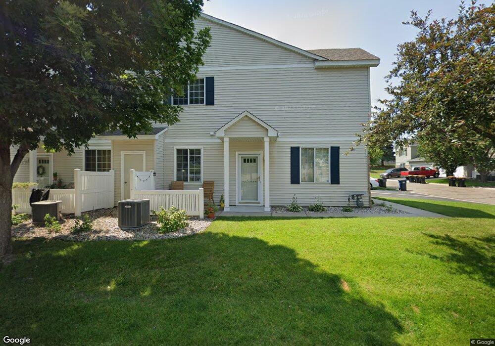
1864 Mockingbird Ave Unit 1004 Shakopee, MN 55379
Estimated Value: $259,000 - $266,000
2
Beds
2
Baths
1,562
Sq Ft
$168/Sq Ft
Est. Value
About This Home
This home is located at 1864 Mockingbird Ave Unit 1004, Shakopee, MN 55379 and is currently estimated at $262,145, approximately $167 per square foot. 1864 Mockingbird Ave Unit 1004 is a home located in Scott County with nearby schools including Sun Path Elementary School, Shakopee West Middle School, and Shakopee Senior High School.
Ownership History
Date
Name
Owned For
Owner Type
Purchase Details
Closed on
Nov 4, 2019
Sold by
Sessions Michael Edward
Bought by
Sessions Angela Kristine and Bittner Angela Kristine
Current Estimated Value
Purchase Details
Closed on
Aug 29, 2000
Sold by
Centex Homes Minnesota Division
Bought by
Kambeitz Jason and Kambeitz Angie
Create a Home Valuation Report for This Property
The Home Valuation Report is an in-depth analysis detailing your home's value as well as a comparison with similar homes in the area
Home Values in the Area
Average Home Value in this Area
Purchase History
| Date | Buyer | Sale Price | Title Company |
|---|---|---|---|
| Sessions Angela Kristine | -- | None Available | |
| Kambeitz Jason | $128,495 | -- |
Source: Public Records
Tax History
| Year | Tax Paid | Tax Assessment Tax Assessment Total Assessment is a certain percentage of the fair market value that is determined by local assessors to be the total taxable value of land and additions on the property. | Land | Improvement |
|---|---|---|---|---|
| 2025 | $2,328 | $251,700 | $76,100 | $175,600 |
| 2024 | $2,410 | $240,100 | $72,400 | $167,700 |
| 2023 | $2,468 | $236,700 | $71,000 | $165,700 |
| 2022 | $2,408 | $238,400 | $72,700 | $165,700 |
| 2021 | $2,072 | $203,300 | $57,000 | $146,300 |
| 2020 | $2,226 | $194,400 | $47,300 | $147,100 |
| 2019 | $2,090 | $185,200 | $45,000 | $140,200 |
| 2018 | $1,832 | $0 | $0 | $0 |
| 2016 | $1,802 | $0 | $0 | $0 |
| 2014 | -- | $0 | $0 | $0 |
Source: Public Records
Map
Nearby Homes
- 2066 Mockingbird Ave
- 2350 Downing Ave
- 1596 Chartreux Ave
- 1928 Vierling Dr E
- 2423 Tyrone Dr
- 2399 Tyrone Dr
- 2351 Tyrone Dr
- 1227 Elmwood Ave Unit 85
- 1667 Countryside Dr
- 1777 Countryside Dr
- 2542 Mathias Rd
- 2655 King Ave
- 2006 Tyrone Dr
- 1035 Providence Dr
- 2574 Vierling Dr E
- 2795 Downing Ave
- 1624 Philipp Way
- 2817 Downing Ave
- 1542 Philipp Way
- 1790 Colonial St
- 1880 Mockingbird Ave
- 1868 Mockingbird Ave
- 1884 Mockingbird Ave Unit 1006
- 1872 Mockingbird Ave
- 1888 Mockingbird Ave
- 1876 Mockingbird Ave
- 1892 Mockingbird Ave Unit 1008
- 1873 Mockingbird Ave Unit 1405
- 1848 Mockingbird Ave
- 1852 Mockingbird Ave Unit 1106
- 1869 Mockingbird Ave
- 1869 Mockingbird Ave Unit 1406
- 1908 Mockingbird Ave Unit 904
- 1856 Mockingbird Ave
- 1912 Mockingbird Ave Unit 903
- 1901 Mockingbird Ave Unit 1501
- 1878 Pintail Ave
- 1865 Mockingbird Ave
- 1860 Mockingbird Ave
- 1832 Mockingbird Ave Unit 1104
Your Personal Tour Guide
Ask me questions while you tour the home.