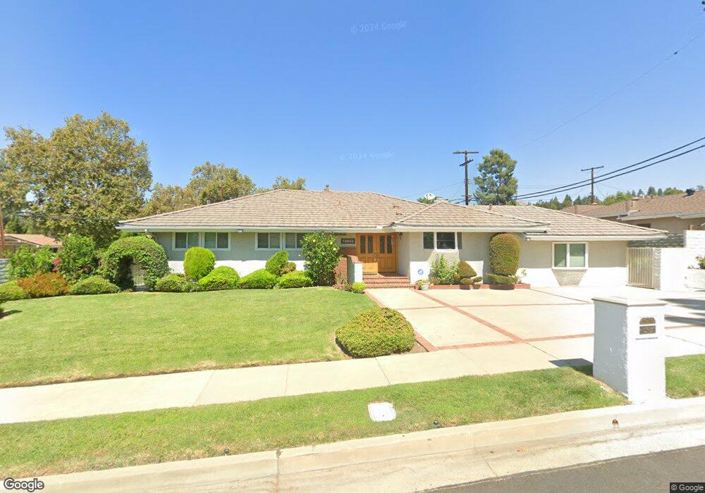
18643 Kenya St Porter Ranch, CA 91326
Porter Ranch NeighborhoodEstimated Value: $1,093,594 - $1,216,000
3
Beds
3
Baths
2,019
Sq Ft
$572/Sq Ft
Est. Value
About This Home
This home is located at 18643 Kenya St, Porter Ranch, CA 91326 and is currently estimated at $1,155,149, approximately $572 per square foot. 18643 Kenya St is a home located in Los Angeles County with nearby schools including Darby Avenue Elementary, Valley Academy of Arts & Sciences, and Northridge Academy High.
Ownership History
Date
Name
Owned For
Owner Type
Purchase Details
Closed on
Oct 20, 2004
Sold by
Saenz Irene S
Bought by
Saenz Irene Santana and The Irene Santana Saenz Separa
Current Estimated Value
Purchase Details
Closed on
Feb 8, 1999
Sold by
Saenz Ray N
Bought by
Ray N Saenz Living Trust
Purchase Details
Closed on
Nov 20, 1998
Sold by
Saenz Ray N and Saenz Irene S
Bought by
Saenz Ray N and Saenz Irene S
Purchase Details
Closed on
Sep 8, 1998
Sold by
Hertz Edward And Betty Trs Hertz Trust
Bought by
Saenz Ray N and Saenz Irene S
Create a Home Valuation Report for This Property
The Home Valuation Report is an in-depth analysis detailing your home's value as well as a comparison with similar homes in the area
Home Values in the Area
Average Home Value in this Area
Purchase History
| Date | Buyer | Sale Price | Title Company |
|---|---|---|---|
| Saenz Irene Santana | -- | -- | |
| Ray N Saenz Living Trust | -- | -- | |
| Saenz Ray N | -- | First American | |
| Saenz Ray N | $330,000 | First American Title Co |
Source: Public Records
Tax History
| Year | Tax Paid | Tax Assessment Tax Assessment Total Assessment is a certain percentage of the fair market value that is determined by local assessors to be the total taxable value of land and additions on the property. | Land | Improvement |
|---|---|---|---|---|
| 2025 | $6,554 | $517,167 | $203,791 | $313,376 |
| 2024 | $6,554 | $507,028 | $199,796 | $307,232 |
| 2023 | $6,433 | $497,087 | $195,879 | $301,208 |
| 2022 | $6,147 | $487,341 | $192,039 | $295,302 |
| 2021 | $6,066 | $477,786 | $188,274 | $289,512 |
| 2019 | $5,892 | $463,617 | $182,691 | $280,926 |
| 2018 | $5,718 | $454,527 | $179,109 | $275,418 |
| 2016 | $5,455 | $436,879 | $172,155 | $264,724 |
| 2015 | $5,378 | $430,318 | $169,570 | $260,748 |
| 2014 | $5,402 | $421,890 | $166,249 | $255,641 |
Source: Public Records
Map
Nearby Homes
- 18720 San Fernando Mission Blvd
- 18371 Lahey St
- 18772 Algiers St
- 11300 Dulcet Ave
- 10953 Darby Ave
- 18822 Salt Lake Place
- 11348 Reseda Blvd Unit B
- 11348 Reseda Blvd Unit D
- 11348 Reseda Blvd Unit E
- 11348 Reseda Blvd
- 11348 Reseda Blvd Unit A
- 11348 Reseda Blvd Unit C
- 10856 Topeka Dr
- 11461 Amigo Ave
- 18438 Los Alimos St
- 18630 Nau Ave
- 18301 Chatsworth St
- 19210 Lahey St Unit 2
- 19140 Lahey St Unit 4
- 11158 Newcastle Ave
- 18637 Kenya St
- 11110 Dulcet Ave
- 11101 Dulcet Ave
- 11107 Dulcet Ave
- 18644 Kenya St
- 18631 Kenya St
- 11116 Dulcet Ave
- 18638 Kenya St
- 18648 Kenya St
- 11113 Dulcet Ave
- 18634 S f Mission Blvd
- 18634 San Fernando Mission Blvd
- 18630 Kenya St
- 18652 Kenya St
- 11119 Dulcet Ave
- 11124 Dulcet Ave
- 11106 Cabriole Ave
- 11100 Cabriole Ave
- 18658 Kenya St
- 18638 S f Mission Blvd
Your Personal Tour Guide
Ask me questions while you tour the home.