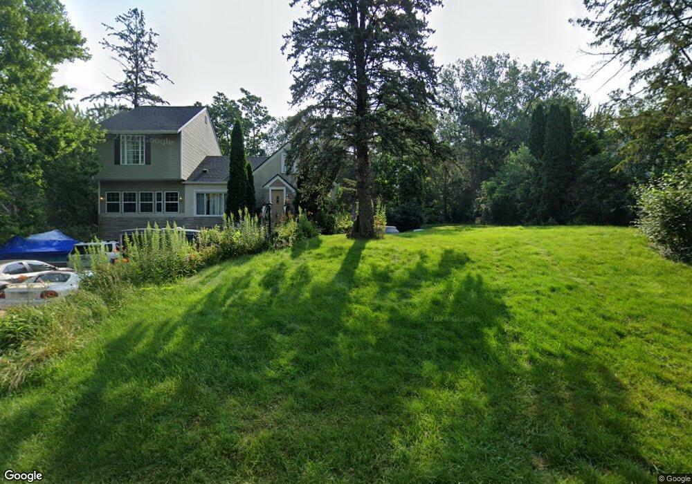
1868 Kennard St Saint Paul, MN 55109
Gladstone NeighborhoodEstimated Value: $335,000 - $361,609
4
Beds
1
Bath
1,934
Sq Ft
$181/Sq Ft
Est. Value
About This Home
This home is located at 1868 Kennard St, Saint Paul, MN 55109 and is currently estimated at $350,152, approximately $181 per square foot. 1868 Kennard St is a home located in Ramsey County with nearby schools including Weaver Elementary School, John Glenn Middle School, and Mounds Park Academy.
Ownership History
Date
Name
Owned For
Owner Type
Purchase Details
Closed on
Oct 12, 2021
Sold by
Hoang Dao T
Bought by
Kaczynski Joseph
Current Estimated Value
Home Financials for this Owner
Home Financials are based on the most recent Mortgage that was taken out on this home.
Original Mortgage
$264,000
Outstanding Balance
$240,743
Interest Rate
2.8%
Mortgage Type
New Conventional
Estimated Equity
$109,409
Create a Home Valuation Report for This Property
The Home Valuation Report is an in-depth analysis detailing your home's value as well as a comparison with similar homes in the area
Home Values in the Area
Average Home Value in this Area
Purchase History
| Date | Buyer | Sale Price | Title Company |
|---|---|---|---|
| Kaczynski Joseph | $330,000 | Ancona Title & Escrow |
Source: Public Records
Mortgage History
| Date | Status | Borrower | Loan Amount |
|---|---|---|---|
| Open | Kaczynski Joseph | $264,000 |
Source: Public Records
Tax History Compared to Growth
Tax History
| Year | Tax Paid | Tax Assessment Tax Assessment Total Assessment is a certain percentage of the fair market value that is determined by local assessors to be the total taxable value of land and additions on the property. | Land | Improvement |
|---|---|---|---|---|
| 2025 | $4,418 | $325,900 | $106,500 | $219,400 |
| 2023 | $4,418 | $309,400 | $106,500 | $202,900 |
| 2022 | $3,942 | $289,800 | $106,500 | $183,300 |
| 2021 | $3,190 | $273,200 | $106,500 | $166,700 |
| 2020 | $3,726 | $231,200 | $106,500 | $124,700 |
| 2019 | $3,732 | $231,200 | $106,500 | $124,700 |
| 2018 | $3,516 | $231,200 | $106,500 | $124,700 |
| 2017 | $3,832 | $233,400 | $106,500 | $126,900 |
| 2016 | $3,708 | $0 | $0 | $0 |
| 2015 | $3,776 | $234,500 | $97,700 | $136,800 |
| 2014 | $3,256 | $0 | $0 | $0 |
Source: Public Records
Map
Nearby Homes
- 1849 Kennard St
- 1856 Flandrau St
- 1937 Flandrau St
- 1743 White Bear Ave N
- 1984 Prosperity Rd
- 1854 Barclay St
- 1627 Christie Place
- 1940 Barclay St
- 1740 California Ave E
- 1637 Iowa Ave E
- 1869 Birmingham St
- 1435 Price Ave
- 1672 Manton St
- 1840 Iowa Ave E
- 1676 Montana Ave E
- 1279 Ripley Ave
- 1840 Hoyt Ave E
- 1874 Hoyt Ave E
- 1666 Laurie Rd E
- 1694 Laurie Rd E
- 1878 Kennard St
- 1844 Kennard St
- 1884 Kennard St
- 1842 Kennard St
- 1841 Kennard St N
- 1841 Kennard St
- 1888 Kennard St
- 1844 Summer Ave
- 1836 Kennard St
- 1861 Summer Ave
- 1879 Kennard St
- 1827 Kennard St
- 1892 Kennard St
- 1855 Summer Ave
- 1834 Summer Ave
- 1885 Kennard St
- 1896 Kennard St
- 1819 Kennard St
- 1850 Maryknoll Ave
- 1830 Summer Ave