Estimated Value: $210,000 - $295,180
--
Bed
3
Baths
1,980
Sq Ft
$123/Sq Ft
Est. Value
About This Home
This home is located at 187 Katie Rd, Pavo, GA 31778 and is currently estimated at $243,045, approximately $122 per square foot. 187 Katie Rd is a home located in Brooks County with nearby schools including North Brooks Elementary School.
Ownership History
Date
Name
Owned For
Owner Type
Purchase Details
Closed on
Jan 1, 2011
Bought by
Doa Appraisal 2011
Current Estimated Value
Purchase Details
Closed on
May 21, 2008
Sold by
Hieres Derrik
Bought by
Hiers Derrik J and Hiers Tonya Danielle
Purchase Details
Closed on
Jan 19, 2007
Sold by
Hiers James H
Bought by
Hiers Derrik
Purchase Details
Closed on
Oct 13, 2000
Sold by
Hiers Roy
Bought by
Hiers James H
Create a Home Valuation Report for This Property
The Home Valuation Report is an in-depth analysis detailing your home's value as well as a comparison with similar homes in the area
Home Values in the Area
Average Home Value in this Area
Purchase History
| Date | Buyer | Sale Price | Title Company |
|---|---|---|---|
| Doa Appraisal 2011 | -- | -- | |
| Hiers Derrik J | $5,000 | -- | |
| Hiers Derrik | -- | -- | |
| Hiers James H | -- | -- |
Source: Public Records
Tax History Compared to Growth
Tax History
| Year | Tax Paid | Tax Assessment Tax Assessment Total Assessment is a certain percentage of the fair market value that is determined by local assessors to be the total taxable value of land and additions on the property. | Land | Improvement |
|---|---|---|---|---|
| 2024 | $2,753 | $96,480 | $14,280 | $82,200 |
| 2023 | $2,051 | $86,920 | $13,360 | $73,560 |
| 2022 | $2,194 | $68,120 | $12,720 | $55,400 |
| 2021 | $2,132 | $66,800 | $12,480 | $54,320 |
| 2020 | $1,876 | $67,560 | $12,480 | $55,080 |
| 2019 | $2,021 | $64,200 | $12,720 | $51,480 |
| 2018 | $1,891 | $64,760 | $12,680 | $52,080 |
| 2017 | $1,990 | $62,960 | $12,680 | $50,280 |
| 2016 | $2,032 | $63,480 | $12,680 | $50,800 |
| 2015 | -- | $63,560 | $12,680 | $50,880 |
| 2014 | -- | $65,200 | $12,680 | $52,520 |
| 2013 | -- | $65,200 | $12,680 | $52,520 |
Source: Public Records
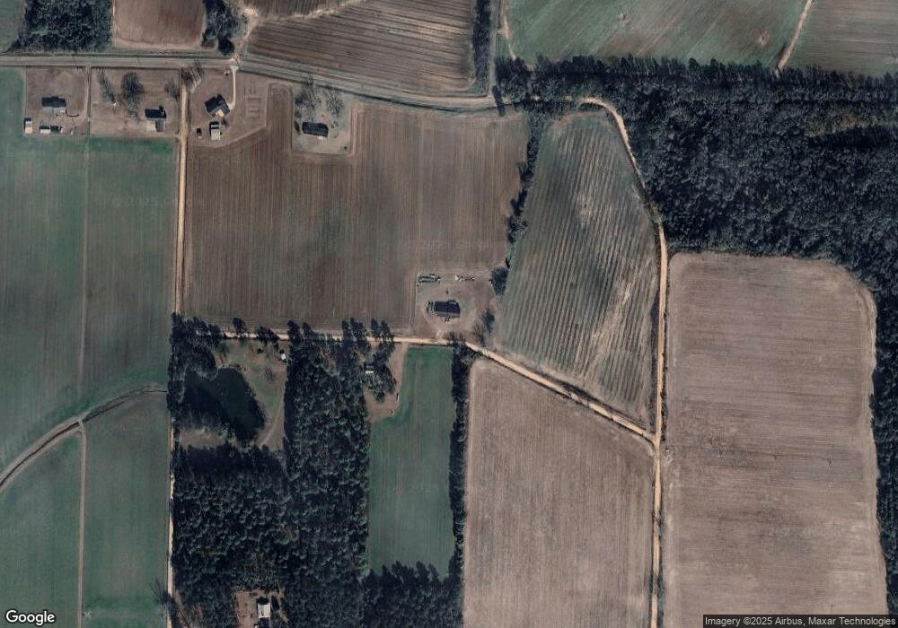
Map
Nearby Homes
- 0 Southerland Ave
- 410 Railroad St
- 313 Langford St
- 5808 Georgia 133
- 9283 Tallokas Rd Unit 54/13
- 9283 Tallokas Rd
- 0 Burton Rd Unit 23760976
- 0 Burton Rd Unit 23669194
- 8774 Antioch Rd
- 0 Upper Trail Unit 913421
- 0 Upper Trail Unit 913422
- 277 Indian Creek Subdivision
- 1114 Cannon Rd
- 2262 Sardis Church Rd
- 182 Horseshoe Dr
- 693 Old Quitman Annex Rd
- 421 Best Cir
- 2275 Old Coffee Rd
- 2051 W Pear St
- 16343 Georgia 33
- 820 Hart Rd
- 448 Hart Rd
- 978 Sawmill Rd
- 444 Hart Rd
- 231 Hart Rd
- 65 Hart Rd
- 418 Cullen Rd
- 821 Hart Rd
- 2485 Copeland Rd
- 257 Sara Ln
- 951 Hempstead Church Rd
- 857 Sawmill Rd
- 2985 Wesley Chapel Rd
- 310 Whittle Ln
- 167 Cardin Rd
- 920 Dassie Ln
- 2109 Wesley Chapel Rd
- 759 Sawmill Rd
- 724 Hempstead Church Rd
- 188 Pleasant Hill Church Rd