187 Middlesex Ave Thorofare, NJ 08086
West Deptford Township NeighborhoodEstimated Value: $262,000 - $299,000
--
Bed
--
Bath
1,204
Sq Ft
$237/Sq Ft
Est. Value
About This Home
This home is located at 187 Middlesex Ave, Thorofare, NJ 08086 and is currently estimated at $284,754, approximately $236 per square foot. 187 Middlesex Ave is a home located in Gloucester County with nearby schools including Red Bank Elementary School, Oakview Elementary School, and Green-Fields Elementary School.
Ownership History
Date
Name
Owned For
Owner Type
Purchase Details
Closed on
Dec 21, 2006
Sold by
Ives Scott
Bought by
Ives Amy and Ives Scott
Current Estimated Value
Home Financials for this Owner
Home Financials are based on the most recent Mortgage that was taken out on this home.
Original Mortgage
$160,000
Outstanding Balance
$94,756
Interest Rate
6.14%
Mortgage Type
Purchase Money Mortgage
Estimated Equity
$189,998
Purchase Details
Closed on
Jul 24, 2004
Sold by
Davis Melvin R and Davis Joann M
Bought by
Pisarcik Amy Lorraine and Ives Scott S
Home Financials for this Owner
Home Financials are based on the most recent Mortgage that was taken out on this home.
Original Mortgage
$139,900
Interest Rate
6.33%
Mortgage Type
Purchase Money Mortgage
Create a Home Valuation Report for This Property
The Home Valuation Report is an in-depth analysis detailing your home's value as well as a comparison with similar homes in the area
Home Values in the Area
Average Home Value in this Area
Purchase History
| Date | Buyer | Sale Price | Title Company |
|---|---|---|---|
| Ives Amy | -- | -- | |
| Pisarcik Amy Lorraine | $139,900 | Congress |
Source: Public Records
Mortgage History
| Date | Status | Borrower | Loan Amount |
|---|---|---|---|
| Open | Ives Amy | $160,000 | |
| Previous Owner | Pisarcik Amy Lorraine | $139,900 |
Source: Public Records
Tax History Compared to Growth
Tax History
| Year | Tax Paid | Tax Assessment Tax Assessment Total Assessment is a certain percentage of the fair market value that is determined by local assessors to be the total taxable value of land and additions on the property. | Land | Improvement |
|---|---|---|---|---|
| 2025 | $5,776 | $165,400 | $55,600 | $109,800 |
| 2024 | $5,529 | $165,400 | $55,600 | $109,800 |
| 2023 | $5,529 | $160,400 | $55,600 | $104,800 |
| 2022 | $5,503 | $160,400 | $55,600 | $104,800 |
| 2021 | $5,484 | $160,400 | $55,600 | $104,800 |
| 2020 | $5,471 | $160,400 | $55,600 | $104,800 |
| 2019 | $5,319 | $160,400 | $55,600 | $104,800 |
| 2018 | $5,175 | $160,400 | $55,600 | $104,800 |
| 2017 | $5,054 | $160,400 | $55,600 | $104,800 |
| 2016 | $4,913 | $160,400 | $55,600 | $104,800 |
| 2015 | $4,680 | $160,400 | $55,600 | $104,800 |
| 2014 | $4,448 | $160,400 | $55,600 | $104,800 |
Source: Public Records
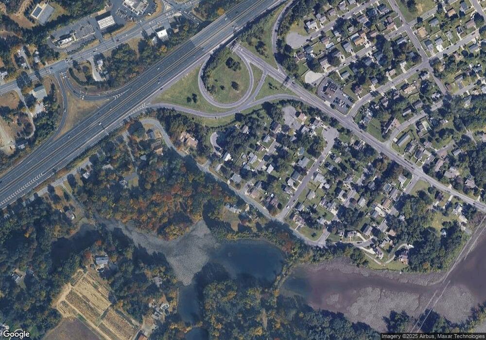
Map
Nearby Homes
- 121 Cape May Ave
- 266 Passaic Ave
- 107 Audubon Ave
- 64 Tilden Rd
- 10 Kennedy Ct
- 439 Crown Point Rd
- 433 Crown Point Rd
- 400 Audubon Ave
- 124 Brent Ct
- 67 Pelican Place
- 47 Pelican Place Unit 47
- 1810 Fernwood Dr
- 1311 Barnesdale Rd
- 4 Saint Emilion Ct
- 112 N Drexel St
- 97 Church St
- 558 Prince St
- 740 Carter Hill Dr
- 6 Phoebe Terrace
- 344 S Girard St
- 157 Passaic Ave
- 189 Middlesex Ave
- 188 Monmouth Ave
- 186 Monmouth Ave
- 190 Middlesex Ave
- 188 Middlesex Ave
- 191 Middlesex Ave
- 186 Middlesex Ct
- 186 Middlesex Ave
- 160 Passaic Ave
- 192 Monmouth Ave
- 193 Middlesex Ave
- 192 Monmouth Ave
- 187 Roosevelt Blvd
- 165 Passaic Ave
- 194 Middlesex Ave
- 189 Roosevelt Blvd
- 191 Roosevelt Blvd
- 195 Middlesex Ave
- 196 Middlesex Ave