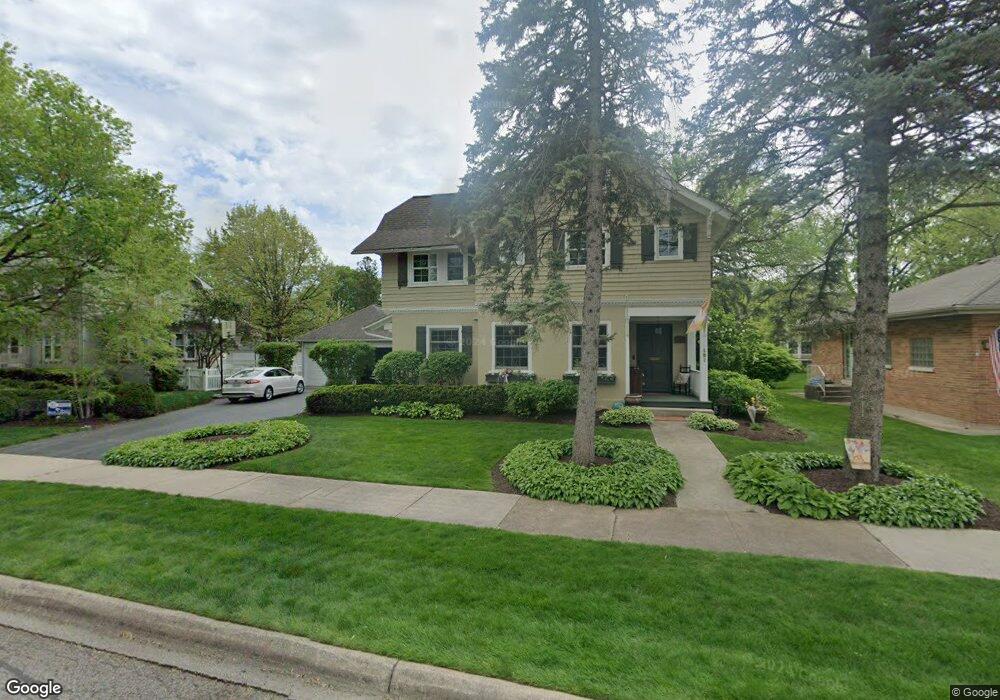
187 Olmsted Rd Riverside, IL 60546
Estimated Value: $707,000 - $746,000
3
Beds
3
Baths
2,538
Sq Ft
$285/Sq Ft
Est. Value
About This Home
This home is located at 187 Olmsted Rd, Riverside, IL 60546 and is currently estimated at $722,408, approximately $284 per square foot. 187 Olmsted Rd is a home located in Cook County with nearby schools including Central Elementary School, L J Hauser Jr High School, and Riverside Brookfield High School.
Ownership History
Date
Name
Owned For
Owner Type
Purchase Details
Closed on
Jun 29, 2007
Sold by
Sky Peck Bernice M
Bought by
Royer Justin and Hepker Jennifer L
Current Estimated Value
Home Financials for this Owner
Home Financials are based on the most recent Mortgage that was taken out on this home.
Original Mortgage
$442,500
Outstanding Balance
$269,448
Interest Rate
6.37%
Mortgage Type
Unknown
Estimated Equity
$452,960
Create a Home Valuation Report for This Property
The Home Valuation Report is an in-depth analysis detailing your home's value as well as a comparison with similar homes in the area
Home Values in the Area
Average Home Value in this Area
Purchase History
| Date | Buyer | Sale Price | Title Company |
|---|---|---|---|
| Royer Justin | $590,000 | Git |
Source: Public Records
Mortgage History
| Date | Status | Borrower | Loan Amount |
|---|---|---|---|
| Open | Royer Justin | $442,500 |
Source: Public Records
Tax History
| Year | Tax Paid | Tax Assessment Tax Assessment Total Assessment is a certain percentage of the fair market value that is determined by local assessors to be the total taxable value of land and additions on the property. | Land | Improvement |
|---|---|---|---|---|
| 2025 | $16,567 | $55,102 | $11,880 | $43,222 |
| 2024 | $16,567 | $55,102 | $11,880 | $43,222 |
| 2023 | $18,245 | $55,102 | $11,880 | $43,222 |
| 2022 | $18,245 | $51,053 | $10,395 | $40,658 |
| 2021 | $17,564 | $51,053 | $10,395 | $40,658 |
| 2020 | $17,070 | $51,053 | $10,395 | $40,658 |
| 2019 | $15,736 | $48,139 | $9,504 | $38,635 |
| 2018 | $15,272 | $48,139 | $9,504 | $38,635 |
| 2017 | $14,797 | $48,139 | $9,504 | $38,635 |
| 2016 | $13,769 | $41,595 | $8,316 | $33,279 |
| 2015 | $13,410 | $41,595 | $8,316 | $33,279 |
| 2014 | $13,199 | $41,595 | $8,316 | $33,279 |
| 2013 | $14,362 | $48,667 | $8,316 | $40,351 |
Source: Public Records
Map
Nearby Homes
- 176 Riverside Rd
- 262 Lionel Rd
- 280 Blackhawk Rd
- 284 Blackhawk Rd
- 7336 39th St
- 7330 39th St
- 108 E Burlington St Unit B
- 7335 Oakwood Ave Unit P-10
- 7335 Oakwood Ave Unit P-12
- 7335 Oakwood Ave Unit P-8
- 7335 Oakwood Ave Unit P-11
- 7335 Oakwood Ave Unit P-14
- 10 E Burlington St Unit 2C
- 10 E Burlington St Unit 2B
- 7316 40th St Unit 2E
- 7316 40th St Unit P-9
- 7316 40th St Unit P-10
- 7316 40th St Unit P-13
- 4129 Gage Ave
- 78 Pine Ave
Your Personal Tour Guide
Ask me questions while you tour the home.